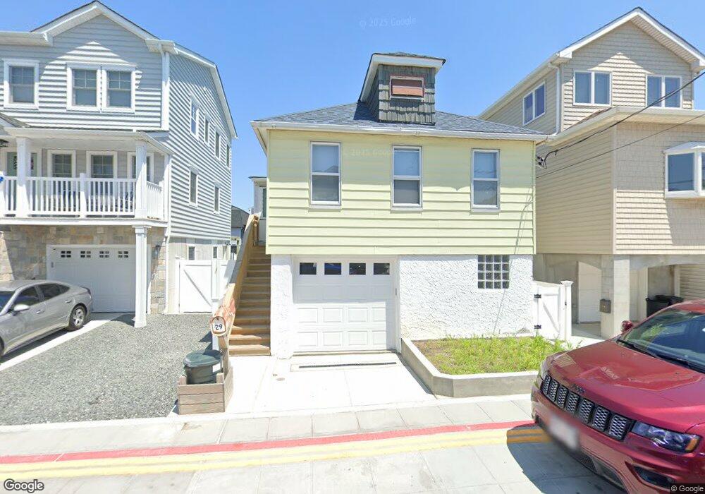
29 W 14th Rd Broad Channel, NY 11693
Broad Channel NeighborhoodEstimated Value: $503,331 - $610,000
--
Bed
--
Bath
1,336
Sq Ft
$412/Sq Ft
Est. Value
About This Home
This home is located at 29 W 14th Rd, Broad Channel, NY 11693 and is currently estimated at $551,083, approximately $412 per square foot. 29 W 14th Rd is a home located in Queens County with nearby schools including P.S. 47 - Chris Galas and St Rose of Lima Catholic Academy.
Ownership History
Date
Name
Owned For
Owner Type
Purchase Details
Closed on
May 22, 2002
Sold by
Symmonds David C and Stanley Lisa M
Bought by
Symmonds David C
Current Estimated Value
Home Financials for this Owner
Home Financials are based on the most recent Mortgage that was taken out on this home.
Original Mortgage
$206,250
Interest Rate
6.64%
Mortgage Type
Purchase Money Mortgage
Purchase Details
Closed on
Apr 16, 1997
Sold by
Weitzman Charles H and Weitzman Adele F
Bought by
Symmonds David C and Stanley Lisa M
Home Financials for this Owner
Home Financials are based on the most recent Mortgage that was taken out on this home.
Original Mortgage
$163,600
Interest Rate
7.5%
Mortgage Type
FHA
Purchase Details
Closed on
Jun 30, 1983
Sold by
New York City
Bought by
Forbes Veronica
Create a Home Valuation Report for This Property
The Home Valuation Report is an in-depth analysis detailing your home's value as well as a comparison with similar homes in the area
Home Values in the Area
Average Home Value in this Area
Purchase History
| Date | Buyer | Sale Price | Title Company |
|---|---|---|---|
| Symmonds David C | -- | -- | |
| Symmonds David C | $265,000 | Commonwealth Land Title Ins | |
| Forbes Veronica | -- | -- |
Source: Public Records
Mortgage History
| Date | Status | Borrower | Loan Amount |
|---|---|---|---|
| Previous Owner | Symmonds David C | $206,250 | |
| Previous Owner | Symmonds David C | $163,600 |
Source: Public Records
Tax History Compared to Growth
Tax History
| Year | Tax Paid | Tax Assessment Tax Assessment Total Assessment is a certain percentage of the fair market value that is determined by local assessors to be the total taxable value of land and additions on the property. | Land | Improvement |
|---|---|---|---|---|
| 2025 | $3,461 | $19,745 | $3,723 | $16,022 |
| 2024 | $3,473 | $18,630 | $3,299 | $15,331 |
| 2023 | $3,461 | $18,630 | $3,346 | $15,284 |
| 2022 | $3,301 | $28,380 | $6,120 | $22,260 |
| 2021 | $3,374 | $30,360 | $6,120 | $24,240 |
| 2020 | $3,187 | $27,420 | $6,120 | $21,300 |
| 2019 | $2,955 | $23,460 | $6,120 | $17,340 |
| 2018 | $2,867 | $15,525 | $3,969 | $11,556 |
| 2017 | $2,753 | $14,977 | $4,340 | $10,637 |
| 2016 | $2,596 | $14,977 | $4,340 | $10,637 |
| 2015 | $1,484 | $13,712 | $5,332 | $8,380 |
| 2014 | $1,484 | $12,938 | $5,031 | $7,907 |
Source: Public Records
Map
Nearby Homes
- 12 W 14th Rd
- 1317 Cross Bay Blvd
- 14-7 Cross Bay Blvd
- 33 W 12th Rd
- 12-38 Cross Bay Blvd
- 1234 Cross Bay Blvd
- 12-34 Cross Bay Blvd
- 35 W 11th Rd
- 33 W 11th Rd
- 27 W 11th Rd
- 22 W 10th Rd
- 20 W 10th Rd
- 1024 Cross Bay Blvd
- 21 W 18th Rd
- 20 W 18th Rd
- 803 Cross Bay Blvd
- 815 Walton Rd
- 120 E 8th Rd
- 21 Van Brunt Rd
- 621 Cross Bay Blvd