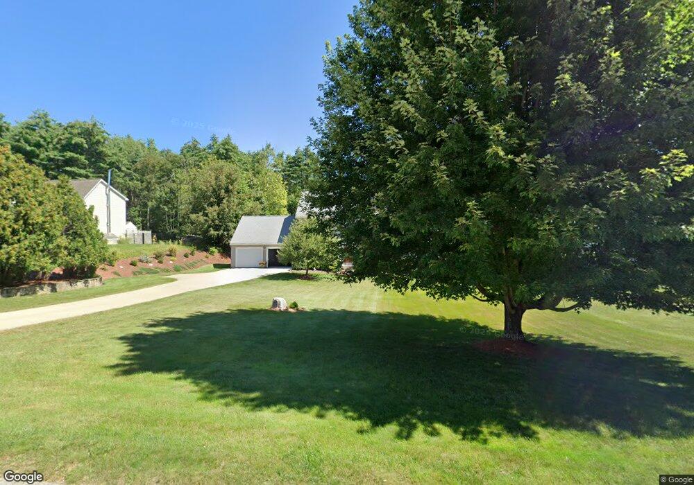
29 Woodhawk Dr Milford, NH 03055
Estimated Value: $576,166 - $596,000
4
Beds
3
Baths
2,048
Sq Ft
$287/Sq Ft
Est. Value
About This Home
This home is located at 29 Woodhawk Dr, Milford, NH 03055 and is currently estimated at $587,792, approximately $287 per square foot. 29 Woodhawk Dr is a home with nearby schools including Jacques Memorial Elementary School, Heron Pond Elementary School, and Milford Middle School.
Ownership History
Date
Name
Owned For
Owner Type
Purchase Details
Closed on
Nov 30, 2001
Sold by
Mopar Rt
Bought by
Wisbey Justin R and Wisbey Amy B
Current Estimated Value
Home Financials for this Owner
Home Financials are based on the most recent Mortgage that was taken out on this home.
Original Mortgage
$198,640
Interest Rate
6.66%
Create a Home Valuation Report for This Property
The Home Valuation Report is an in-depth analysis detailing your home's value as well as a comparison with similar homes in the area
Home Values in the Area
Average Home Value in this Area
Purchase History
| Date | Buyer | Sale Price | Title Company |
|---|---|---|---|
| Wisbey Justin R | $248,600 | -- |
Source: Public Records
Mortgage History
| Date | Status | Borrower | Loan Amount |
|---|---|---|---|
| Open | Wisbey Justin R | $25,000 | |
| Open | Wisbey Justin R | $181,000 | |
| Closed | Wisbey Justin R | $198,640 |
Source: Public Records
Tax History Compared to Growth
Tax History
| Year | Tax Paid | Tax Assessment Tax Assessment Total Assessment is a certain percentage of the fair market value that is determined by local assessors to be the total taxable value of land and additions on the property. | Land | Improvement |
|---|---|---|---|---|
| 2024 | $8,348 | $352,700 | $66,600 | $286,100 |
| 2023 | $7,819 | $352,700 | $66,600 | $286,100 |
| 2022 | $7,333 | $352,700 | $66,600 | $286,100 |
| 2021 | $7,107 | $352,700 | $66,600 | $286,100 |
| 2020 | $7,692 | $303,200 | $53,600 | $249,600 |
| 2019 | $7,874 | $303,200 | $53,600 | $249,600 |
| 2018 | $7,474 | $255,700 | $53,600 | $202,100 |
| 2017 | $7,515 | $255,700 | $53,600 | $202,100 |
| 2016 | $7,405 | $255,700 | $53,600 | $202,100 |
| 2015 | $7,074 | $247,700 | $53,600 | $194,100 |
| 2014 | $6,762 | $247,700 | $53,600 | $194,100 |
| 2013 | $6,680 | $247,700 | $53,600 | $194,100 |
Source: Public Records
Map
Nearby Homes
- 131 Badger Hill Dr
- 00 Ruonala Rd
- 301 Mile Slip Rd
- 303 Route 13
- 686 Route 13 S
- 36 Berkeley Place
- 294 Mason Rd
- 8 Colburn Rd
- 26 Melendy Rd Unit 97
- 26 Melendy Rd Unit 42
- 104 N Mason Rd
- 44 Osgood Rd
- 61 W Meadow Ct
- 38 Countryside Dr
- 43 Boxwood Cir
- 415 Savage Rd
- 145 Westchester Dr
- 24 Spaulding St
- 32 Larch Rd
- 0 Briar Cliff Dr
- 23 Woodhawk Dr
- 33 Woodhawk Dr
- 36 Woodhawk Dr
- 37 Woodhawk Dr
- 15 Woodhawk Dr
- 10 Badger Hill Dr
- 43 Woodhawk Dr
- 42 Woodhawk Dr
- 47 Woodhawk Dr
- 1 Badger Hil Ldrive
- 9 Badger Hill Dr
- 16 Badger Hill Dr
- 48 Woodhawk Dr
- 15 Badger Hill Dr
- 51 Woodhawk Dr
- 52 Woodhawk Dr
- 21 Badger Hill Dr
- 675 Osgood Rd
- 83 Badger Hill Dr Unit 26
- 83 Badger Hill Dr