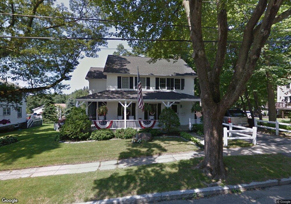
29 Wyola Dr Worcester, MA 01603
Webster Square NeighborhoodEstimated Value: $537,111 - $649,000
5
Beds
3
Baths
1,899
Sq Ft
$312/Sq Ft
Est. Value
About This Home
This home is located at 29 Wyola Dr, Worcester, MA 01603 and is currently estimated at $592,778, approximately $312 per square foot. 29 Wyola Dr is a home located in Worcester County with nearby schools including Gates Lane, Jacob Hiatt Magnet School, and Chandler Magnet.
Ownership History
Date
Name
Owned For
Owner Type
Purchase Details
Closed on
Mar 26, 2010
Sold by
Roy Richard F and Roy Patricia M
Bought by
Shaylor Michael M and Shaylor Tara E
Current Estimated Value
Home Financials for this Owner
Home Financials are based on the most recent Mortgage that was taken out on this home.
Original Mortgage
$221,000
Outstanding Balance
$147,339
Interest Rate
5.02%
Mortgage Type
Purchase Money Mortgage
Estimated Equity
$445,439
Create a Home Valuation Report for This Property
The Home Valuation Report is an in-depth analysis detailing your home's value as well as a comparison with similar homes in the area
Home Values in the Area
Average Home Value in this Area
Purchase History
| Date | Buyer | Sale Price | Title Company |
|---|---|---|---|
| Shaylor Michael M | $260,000 | -- |
Source: Public Records
Mortgage History
| Date | Status | Borrower | Loan Amount |
|---|---|---|---|
| Open | Shaylor Michael M | $221,000 |
Source: Public Records
Tax History Compared to Growth
Tax History
| Year | Tax Paid | Tax Assessment Tax Assessment Total Assessment is a certain percentage of the fair market value that is determined by local assessors to be the total taxable value of land and additions on the property. | Land | Improvement |
|---|---|---|---|---|
| 2025 | $6,166 | $467,500 | $97,700 | $369,800 |
| 2024 | $6,010 | $437,100 | $97,700 | $339,400 |
| 2023 | $5,813 | $405,400 | $85,000 | $320,400 |
| 2022 | $5,416 | $356,100 | $68,000 | $288,100 |
| 2021 | $5,503 | $338,000 | $54,400 | $283,600 |
| 2020 | $5,301 | $311,800 | $54,000 | $257,800 |
| 2019 | $5,090 | $282,800 | $47,100 | $235,700 |
| 2018 | $5,036 | $266,300 | $47,100 | $219,200 |
| 2017 | $4,822 | $250,900 | $47,100 | $203,800 |
| 2016 | $4,878 | $236,700 | $33,300 | $203,400 |
| 2015 | $4,751 | $236,700 | $33,300 | $203,400 |
| 2014 | $4,625 | $236,700 | $33,300 | $203,400 |
Source: Public Records
Map
Nearby Homes