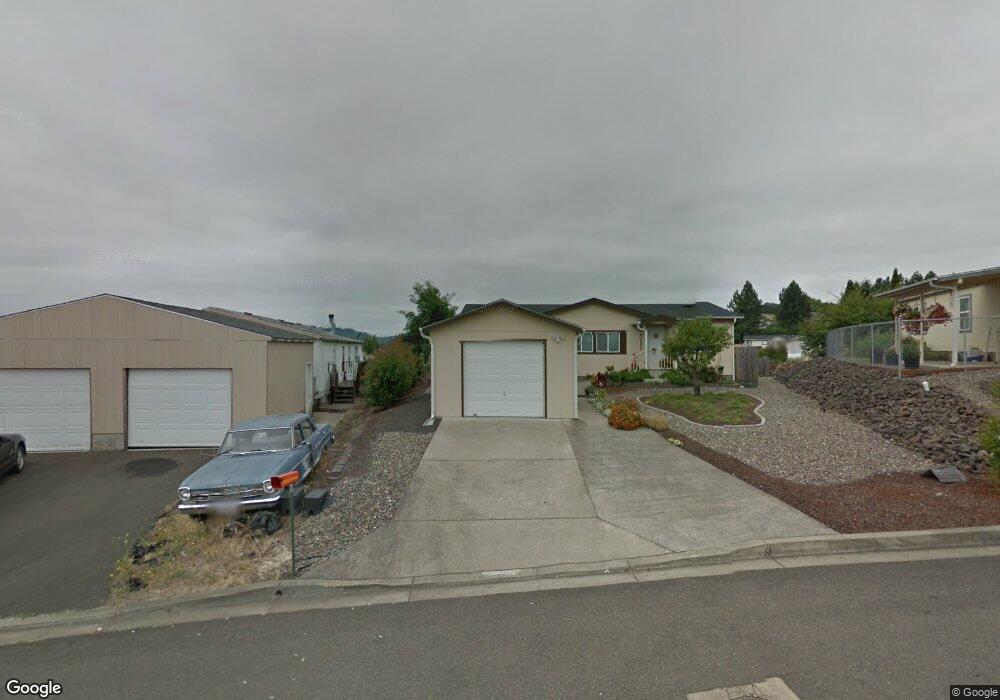
290 Adams Loop Roseburg, OR 97471
Green NeighborhoodEstimated Value: $233,000 - $256,538
3
Beds
2
Baths
1,215
Sq Ft
$203/Sq Ft
Est. Value
About This Home
This home is located at 290 Adams Loop, Roseburg, OR 97471 and is currently estimated at $246,846, approximately $203 per square foot. 290 Adams Loop is a home located in Douglas County with nearby schools including Sunnyslope Elementary School, John C. Fremont Middle School, and Roseburg High School.
Ownership History
Date
Name
Owned For
Owner Type
Purchase Details
Closed on
Aug 18, 2016
Sold by
Capron Patricia A
Bought by
Scrivner Billy and Scrivner Karla
Current Estimated Value
Home Financials for this Owner
Home Financials are based on the most recent Mortgage that was taken out on this home.
Original Mortgage
$101,915
Outstanding Balance
$81,132
Interest Rate
3.41%
Mortgage Type
New Conventional
Estimated Equity
$165,714
Purchase Details
Closed on
Sep 15, 2005
Sold by
Gibson Paul K
Bought by
Capron Patricia A
Home Financials for this Owner
Home Financials are based on the most recent Mortgage that was taken out on this home.
Original Mortgage
$99,200
Interest Rate
5.76%
Mortgage Type
Fannie Mae Freddie Mac
Create a Home Valuation Report for This Property
The Home Valuation Report is an in-depth analysis detailing your home's value as well as a comparison with similar homes in the area
Home Values in the Area
Average Home Value in this Area
Purchase History
| Date | Buyer | Sale Price | Title Company |
|---|---|---|---|
| Scrivner Billy | $119,900 | Ticor Title Company Of Or | |
| Capron Patricia A | $124,000 | Ticor Title |
Source: Public Records
Mortgage History
| Date | Status | Borrower | Loan Amount |
|---|---|---|---|
| Open | Scrivner Billy | $101,915 | |
| Previous Owner | Capron Patricia A | $99,200 |
Source: Public Records
Tax History Compared to Growth
Tax History
| Year | Tax Paid | Tax Assessment Tax Assessment Total Assessment is a certain percentage of the fair market value that is determined by local assessors to be the total taxable value of land and additions on the property. | Land | Improvement |
|---|---|---|---|---|
| 2024 | $1,242 | $132,761 | -- | -- |
| 2023 | $1,206 | $128,895 | $0 | $0 |
| 2022 | $1,171 | $125,141 | $0 | $0 |
| 2021 | $1,137 | $121,497 | $0 | $0 |
| 2020 | $1,148 | $117,959 | $0 | $0 |
| 2019 | $1,127 | $114,524 | $0 | $0 |
| 2018 | $1,100 | $111,189 | $0 | $0 |
| 2017 | $1,066 | $107,951 | $0 | $0 |
| 2016 | $1,034 | $103,556 | $0 | $0 |
| 2015 | $1,023 | $101,129 | $0 | $0 |
| 2014 | $1,001 | $99,164 | $0 | $0 |
| 2013 | -- | $103,216 | $0 | $0 |
Source: Public Records
Map
Nearby Homes
- 231 Owyhee Ln
- 124 Aloha Ct
- 150 Maywood Ct
- 193 Owyhee Ln
- 405 Corona Loop Rd
- 225 Corona Loop Rd
- 248 Corona Loop Rd
- 157 Creekside Ct
- 134 Owyhee Ln
- 145 Owyhee Ln Unit 58
- 266 River Place Dr
- 383 Little Valley Rd
- 275 Littlebrook Ln
- 133 Jessica Lynn Ln
- 129 Summerwood St
- 120 Littlebrook Ln
- 122 Kristi Lee Ln
- 150 Buena Vista Ln
- 601 Little Valley Rd
- 204 Rainbow Ridge Ave