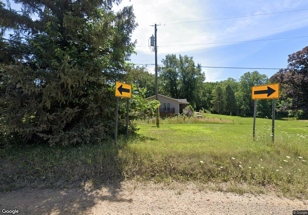
290 Coats Rd Lake Orion, MI 48362
Estimated Value: $411,000 - $507,000
3
Beds
2
Baths
2,030
Sq Ft
$219/Sq Ft
Est. Value
About This Home
This home is located at 290 Coats Rd, Lake Orion, MI 48362 and is currently estimated at $444,147, approximately $218 per square foot. 290 Coats Rd is a home located in Oakland County with nearby schools including Paint Creek Elementary School, Scripps Middle School, and Lake Orion Community High School.
Ownership History
Date
Name
Owned For
Owner Type
Purchase Details
Closed on
Mar 8, 2016
Sold by
Maloney Russell and Maloney Cara
Bought by
Maloney Russell
Current Estimated Value
Home Financials for this Owner
Home Financials are based on the most recent Mortgage that was taken out on this home.
Original Mortgage
$197,000
Outstanding Balance
$85,214
Interest Rate
3.72%
Mortgage Type
New Conventional
Estimated Equity
$358,933
Purchase Details
Closed on
Feb 10, 2003
Sold by
Cromwell Lloyd R and Cromwell Gail A
Bought by
Cromwell Chad and Cromwell Tracy
Create a Home Valuation Report for This Property
The Home Valuation Report is an in-depth analysis detailing your home's value as well as a comparison with similar homes in the area
Home Values in the Area
Average Home Value in this Area
Purchase History
| Date | Buyer | Sale Price | Title Company |
|---|---|---|---|
| Maloney Russell | -- | Title365 Pittsburgh | |
| Cromwell Chad | -- | Philip R Seaver Title Co Inc | |
| Maloney Russell | $274,000 | Philip R Seaver Title Co Inc |
Source: Public Records
Mortgage History
| Date | Status | Borrower | Loan Amount |
|---|---|---|---|
| Open | Maloney Russell | $197,000 |
Source: Public Records
Tax History Compared to Growth
Tax History
| Year | Tax Paid | Tax Assessment Tax Assessment Total Assessment is a certain percentage of the fair market value that is determined by local assessors to be the total taxable value of land and additions on the property. | Land | Improvement |
|---|---|---|---|---|
| 2024 | $2,814 | $195,290 | $0 | $0 |
| 2023 | $2,684 | $186,490 | $0 | $0 |
| 2022 | $3,795 | $163,880 | $0 | $0 |
| 2021 | $3,623 | $138,020 | $0 | $0 |
| 2020 | $2,460 | $130,900 | $0 | $0 |
| 2019 | $3,364 | $125,050 | $0 | $0 |
| 2018 | $3,355 | $116,590 | $0 | $0 |
| 2017 | $3,187 | $116,590 | $0 | $0 |
| 2016 | $3,175 | $118,310 | $0 | $0 |
| 2015 | -- | $109,640 | $0 | $0 |
| 2014 | -- | $100,510 | $0 | $0 |
| 2011 | -- | $83,770 | $0 | $0 |
Source: Public Records
Map
Nearby Homes
- 00 Coats Rd
- 400 Coats Rd
- 1847 High Pointe Dr
- 3230 Park Meadow Dr
- 291 N Baldwin Rd
- 767 Pinery Blvd
- 000 Klais Dr
- 3707 Barn Meadow Ct Unit 42
- 815 Pinery Blvd
- 1 Pinery Ct
- 532 Shrewsbury Dr
- 101 N Newman Rd
- 2999 Buckner Rd
- 84 Greenan Ln
- 192 Greenan Ln
- 1910 Royal Birkdale Dr
- 271 Greenan Ln
- 840 Laird St
- 4830 Stanton Rd
- 1906 Indianwood Rd
