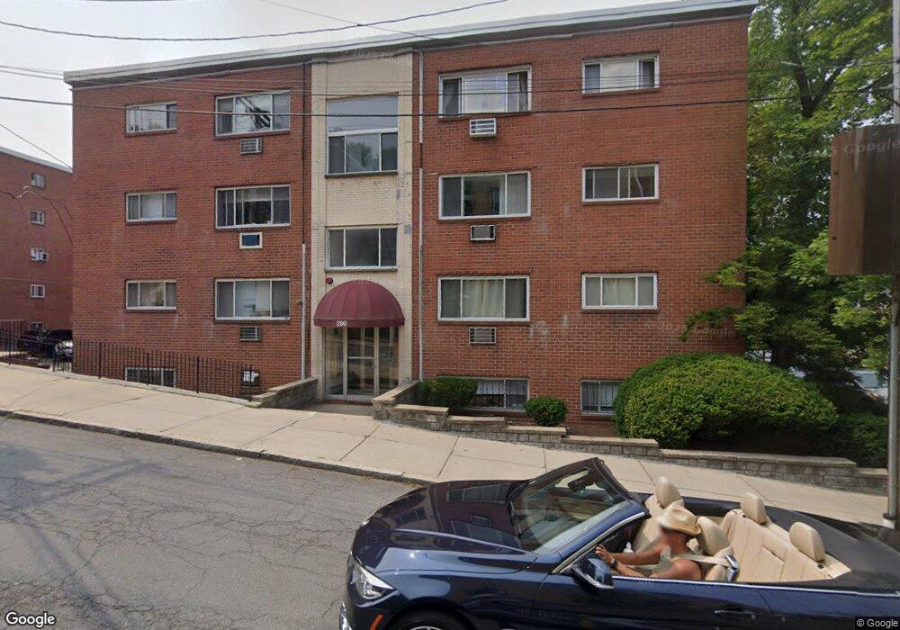
290 Corey Rd Unit 12A Brighton, MA 02135
Commonwealth NeighborhoodEstimated Value: $454,000 - $570,000
2
Beds
1
Bath
685
Sq Ft
$716/Sq Ft
Est. Value
About This Home
This home is located at 290 Corey Rd Unit 12A, Brighton, MA 02135 and is currently estimated at $490,796, approximately $716 per square foot. 290 Corey Rd Unit 12A is a home located in Suffolk County with nearby schools including Boston Green Academy Horace Mann Charter School and Torah Academy.
Ownership History
Date
Name
Owned For
Owner Type
Purchase Details
Closed on
Aug 14, 2013
Sold by
Sutelman Alex and Sutelman Arkady
Bought by
Sutelman Ft
Current Estimated Value
Purchase Details
Closed on
Sep 8, 1994
Sold by
Kirby Deangelis Mary
Bought by
Kirby Robert F
Home Financials for this Owner
Home Financials are based on the most recent Mortgage that was taken out on this home.
Original Mortgage
$40,000
Interest Rate
8.54%
Mortgage Type
Purchase Money Mortgage
Create a Home Valuation Report for This Property
The Home Valuation Report is an in-depth analysis detailing your home's value as well as a comparison with similar homes in the area
Home Values in the Area
Average Home Value in this Area
Purchase History
| Date | Buyer | Sale Price | Title Company |
|---|---|---|---|
| Sutelman Ft | -- | -- | |
| Kirby Robert F | $60,000 | -- |
Source: Public Records
Mortgage History
| Date | Status | Borrower | Loan Amount |
|---|---|---|---|
| Previous Owner | Kirby Robert F | $128,520 | |
| Previous Owner | Kirby Robert F | $30,000 | |
| Previous Owner | Kirby Robert F | $40,000 |
Source: Public Records
Tax History
| Year | Tax Paid | Tax Assessment Tax Assessment Total Assessment is a certain percentage of the fair market value that is determined by local assessors to be the total taxable value of land and additions on the property. | Land | Improvement |
|---|---|---|---|---|
| 2025 | $4,754 | $410,500 | $0 | $410,500 |
| 2024 | $4,132 | $379,100 | $0 | $379,100 |
| 2023 | $4,072 | $379,100 | $0 | $379,100 |
| 2022 | $3,892 | $357,700 | $0 | $357,700 |
| 2021 | $3,779 | $354,200 | $0 | $354,200 |
| 2020 | $3,669 | $347,400 | $0 | $347,400 |
| 2019 | $3,590 | $340,600 | $0 | $340,600 |
| 2018 | $3,337 | $318,400 | $0 | $318,400 |
| 2017 | $3,123 | $294,900 | $0 | $294,900 |
| 2016 | $2,976 | $270,500 | $0 | $270,500 |
| 2015 | $2,992 | $247,100 | $0 | $247,100 |
| 2014 | $2,825 | $224,600 | $0 | $224,600 |
Source: Public Records
Map
Nearby Homes
- 239 Kelton St Unit 41
- 10 Scottfield Rd Unit 2
- 249 Corey Rd Unit 404
- 249 Corey Rd Unit 306
- 249 Corey Rd Unit 303
- 249 Corey Rd Unit 203
- 249 Corey Rd Unit 309
- 249 Corey Rd Unit 207
- 249 Corey Rd Unit 201
- 249 Corey Rd Unit 401
- 198 Allston St Unit 3
- 230 Corey Rd
- 15 Commonwealth Ct Unit 10
- 159-161 Allston
- 108 Columbia St Unit 1
- 1304 Commonwealth Ave Unit 5
- 130 Glenville Ave
- 147 Kelton St Unit 609
- 200 Winchester St Unit 1
- 1480 Commonwealth Ave Unit 10
- 290 Corey Rd Unit 44
- 290 Corey Rd Unit 43
- 290 Corey Rd Unit 42
- 290 Corey Rd Unit 41
- 290 Corey Rd Unit 34
- 290 Corey Rd Unit 33
- 290 Corey Rd Unit 32
- 290 Corey Rd Unit 31
- 290 Corey Rd Unit 24
- 290 Corey Rd Unit 23
- 290 Corey Rd Unit 22
- 290 Corey Rd Unit 21
- 290 Corey Rd Unit 14
- 290 Corey Rd Unit 12
- 290 Corey Rd Unit 11
- 290 Corey Rd Unit 106
- 290 Corey Rd Unit 1
- 290 Corey Rd Unit 2
- 290 Corey Rd
- 290 Corey Rd Unit 440
Your Personal Tour Guide
Ask me questions while you tour the home.