290 Crossno Cemetery Rd Clifton, TN 38425
Estimated Value: $200,000 - $292,352
--
Bed
2
Baths
1,320
Sq Ft
$197/Sq Ft
Est. Value
About This Home
This home is located at 290 Crossno Cemetery Rd, Clifton, TN 38425 and is currently estimated at $260,338, approximately $197 per square foot. 290 Crossno Cemetery Rd is a home located in Wayne County.
Ownership History
Date
Name
Owned For
Owner Type
Purchase Details
Closed on
Aug 26, 2004
Sold by
Edington Florine B and Edington Gordo
Bought by
Thompson Donald R and Thompson Ann Lynn
Current Estimated Value
Home Financials for this Owner
Home Financials are based on the most recent Mortgage that was taken out on this home.
Original Mortgage
$71,200
Interest Rate
5.91%
Purchase Details
Closed on
Sep 24, 1984
Bought by
Edington Gordon A and Edington Sarah H
Purchase Details
Closed on
Mar 27, 1980
Purchase Details
Closed on
Jan 1, 1980
Create a Home Valuation Report for This Property
The Home Valuation Report is an in-depth analysis detailing your home's value as well as a comparison with similar homes in the area
Home Values in the Area
Average Home Value in this Area
Purchase History
| Date | Buyer | Sale Price | Title Company |
|---|---|---|---|
| Thompson Donald R | $89,000 | -- | |
| Edington Gordon A | -- | -- | |
| -- | -- | -- | |
| -- | $12,800 | -- |
Source: Public Records
Mortgage History
| Date | Status | Borrower | Loan Amount |
|---|---|---|---|
| Closed | Not Available | $71,200 |
Source: Public Records
Tax History Compared to Growth
Tax History
| Year | Tax Paid | Tax Assessment Tax Assessment Total Assessment is a certain percentage of the fair market value that is determined by local assessors to be the total taxable value of land and additions on the property. | Land | Improvement |
|---|---|---|---|---|
| 2024 | $1,024 | $47,250 | $21,875 | $25,375 |
| 2023 | $906 | $47,250 | $21,875 | $25,375 |
| 2022 | $906 | $47,250 | $21,875 | $25,375 |
| 2021 | $822 | $47,250 | $21,875 | $25,375 |
| 2020 | $822 | $35,750 | $18,525 | $17,225 |
| 2019 | $822 | $35,750 | $18,525 | $17,225 |
| 2018 | $822 | $35,750 | $18,525 | $17,225 |
| 2017 | $822 | $35,750 | $18,525 | $17,225 |
| 2016 | $733 | $35,750 | $18,525 | $17,225 |
| 2014 | $719 | $34,757 | $0 | $0 |
Source: Public Records
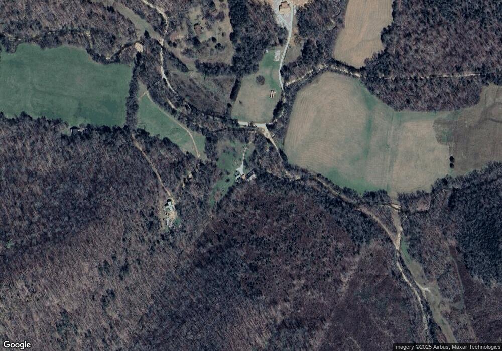
Map
Nearby Homes
- 0 Davis Hollow Rd
- 000 Hardin Bottom River Rd
- 0 Sewell Branch Rd
- 293 Horseshoe Bend Rd
- 0 Doll Conway Rd Unit 10207333
- 245 Horseshoe Bend Rd
- 339 Flatwoods School Rd
- 122 Pope Dr
- 0 Flippo Branch Rd
- 135 Mumaw Rd
- 0 New Era Ridge Rd Unit 25219806
- 0 New Era Ridge Rd Unit 24711430
- 0 New Era Ridge Rd Unit RTC2991826
- 1816 Old Beech Creek Rd
- 980 Skyline Dr
- 1775 Old Beech Creek Rd
- 116 Sunset Dr
- 219 Tn River Estates Rd
- 201 Beechview Dr
- 628 River Rd
- 264 Crossno Cemetery Rd
- 255 Crossno Cemetery Rd
- 285 Crossno Cemetery Rd
- 260 Crossno Cemetery Rd
- 198 Crossno Cemetery Rd
- 1 Crossno Cemetery Rd
- 209 Crossno Cemetery Rd
- 205 Crossno Cemetery Rd
- 6924 Beech Creek Rd
- 193 Little Beech Rd
- 6922 Beech Creek Rd
- 6955 Beech Creek Rd
- 7000 Beech Creek Rd
- 7105 Beech Creek Rd
- 1223 Pevahouse Hollow Rd