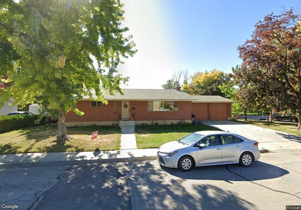
290 E 2020 N Provo, UT 84604
Rock Canyon NeighborhoodEstimated Value: $638,000 - $736,000
4
Beds
3
Baths
1,434
Sq Ft
$479/Sq Ft
Est. Value
About This Home
This home is located at 290 E 2020 N, Provo, UT 84604 and is currently estimated at $687,225, approximately $479 per square foot. 290 E 2020 N is a home located in Utah County with nearby schools including Rock Canyon Elementary School, Centennial Middle School, and Timpview High School.
Ownership History
Date
Name
Owned For
Owner Type
Purchase Details
Closed on
Aug 22, 2024
Sold by
Ingenustate Llc
Bought by
Cannon Seth and Cannon Amy
Current Estimated Value
Purchase Details
Closed on
Jul 13, 2022
Sold by
Cannon Mark E
Bought by
Ingenustate Llc
Home Financials for this Owner
Home Financials are based on the most recent Mortgage that was taken out on this home.
Original Mortgage
$400,000
Interest Rate
3.05%
Mortgage Type
New Conventional
Purchase Details
Closed on
Jan 28, 1998
Sold by
Griner Margaret and Griner Margaret Farnsworth Thorley
Bought by
Cannon Mark E and Cannon Marcianne A
Home Financials for this Owner
Home Financials are based on the most recent Mortgage that was taken out on this home.
Original Mortgage
$142,650
Interest Rate
7.05%
Create a Home Valuation Report for This Property
The Home Valuation Report is an in-depth analysis detailing your home's value as well as a comparison with similar homes in the area
Home Values in the Area
Average Home Value in this Area
Purchase History
| Date | Buyer | Sale Price | Title Company |
|---|---|---|---|
| Cannon Seth | -- | None Listed On Document | |
| Ingenustate Llc | -- | None Listed On Document | |
| Cannon Mark E | -- | None Listed On Document | |
| Cannon Mark E | -- | First American |
Source: Public Records
Mortgage History
| Date | Status | Borrower | Loan Amount |
|---|---|---|---|
| Previous Owner | Ingenustate Llc | $400,000 | |
| Previous Owner | Cannon Mark E | $142,650 |
Source: Public Records
Tax History
| Year | Tax Paid | Tax Assessment Tax Assessment Total Assessment is a certain percentage of the fair market value that is determined by local assessors to be the total taxable value of land and additions on the property. | Land | Improvement |
|---|---|---|---|---|
| 2025 | $3,164 | $343,420 | -- | -- |
| 2024 | $3,016 | $311,465 | $0 | $0 |
| 2023 | $3,016 | $292,655 | $0 | $0 |
| 2022 | $2,903 | $284,020 | $0 | $0 |
| 2021 | $2,360 | $402,700 | $198,900 | $203,800 |
| 2020 | $2,243 | $358,900 | $159,100 | $199,800 |
| 2019 | $2,157 | $358,900 | $159,100 | $199,800 |
| 2018 | $1,972 | $332,800 | $159,100 | $173,700 |
| 2017 | $1,755 | $162,745 | $0 | $0 |
| 2016 | $1,637 | $141,460 | $0 | $0 |
| 2015 | $1,485 | $129,745 | $0 | $0 |
| 2014 | $1,295 | $117,920 | $0 | $0 |
Source: Public Records
Map
Nearby Homes
- 186 E 2100 N
- 182 E 2090 N
- 2254 N 390 E
- 360 Sumac Ln
- 2735 N Country Club Dr
- 264 W 1625 N
- 2774 N 370 E
- 1470 N 380 W
- 1108 E 2620 N
- 3025 N 250 E
- 990 Cedar Ave
- 2999 N Marrcrest West Dr
- 3013 N 100 W
- 758 E 3030 N
- 431 W 2310 N
- 3057 N 100 W
- 948 N 50 E Unit 301
- 1408 E 2300 N
- 3240 Shadowbrook Dr
- 111 Candlewood Place
Your Personal Tour Guide
Ask me questions while you tour the home.