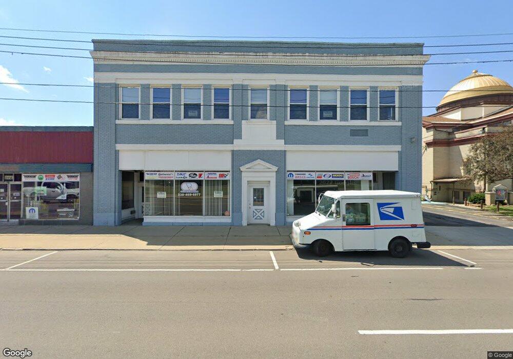
290 E Market St Unit C Warren, OH 44481
Central City NeighborhoodEstimated Value: $150,402
Studio
1
Bath
10,158
Sq Ft
$15/Sq Ft
Est. Value
About This Home
This home is located at 290 E Market St Unit C, Warren, OH 44481 and is currently estimated at $150,402, approximately $14 per square foot. 290 E Market St Unit C is a home located in Trumbull County with nearby schools including Warren G. Harding High School, Willard PK-8 School, and Steam Academy of Warren.
Ownership History
Date
Name
Owned For
Owner Type
Purchase Details
Closed on
Sep 1, 2021
Sold by
Td & Cd Properties Llc
Bought by
Difiore Family Properties Llc
Current Estimated Value
Purchase Details
Closed on
Mar 20, 2008
Sold by
Cadleway Properties Inc
Bought by
Td & Cd Properties Llc
Purchase Details
Closed on
Aug 14, 2007
Sold by
Trumbull Co Sheriff
Bought by
Cadleway Properties Inc
Purchase Details
Closed on
Feb 2, 2004
Sold by
Tesner Raymond J
Bought by
Gartland Dennis
Purchase Details
Closed on
Jan 1, 1990
Bought by
Raymond J Tesner
Create a Home Valuation Report for This Property
The Home Valuation Report is an in-depth analysis detailing your home's value as well as a comparison with similar homes in the area
Home Values in the Area
Average Home Value in this Area
Purchase History
| Date | Buyer | Sale Price | Title Company |
|---|---|---|---|
| Difiore Family Properties Llc | -- | None Listed On Document | |
| Td & Cd Properties Llc | $77,500 | Attorney | |
| Cadleway Properties Inc | $66,000 | None Available | |
| Gartland Dennis | $137,000 | -- | |
| Raymond J Tesner | -- | -- |
Source: Public Records
Tax History
| Year | Tax Paid | Tax Assessment Tax Assessment Total Assessment is a certain percentage of the fair market value that is determined by local assessors to be the total taxable value of land and additions on the property. | Land | Improvement |
|---|---|---|---|---|
| 2024 | $3,321 | $51,560 | $11,380 | $40,180 |
| 2023 | $3,321 | $51,560 | $11,380 | $40,180 |
| 2022 | $2,370 | $31,650 | $11,380 | $20,270 |
| 2021 | $2,364 | $31,650 | $11,380 | $20,270 |
| 2020 | $2,366 | $31,650 | $11,380 | $20,270 |
| 2019 | $2,415 | $31,650 | $11,380 | $20,270 |
| 2018 | $2,401 | $31,650 | $11,380 | $20,270 |
| 2017 | $2,338 | $31,650 | $11,380 | $20,270 |
| 2016 | $2,622 | $35,110 | $11,380 | $23,730 |
| 2015 | $2,604 | $35,110 | $11,380 | $23,730 |
| 2014 | $2,582 | $35,110 | $11,380 | $23,730 |
| 2013 | $2,490 | $35,110 | $11,380 | $23,730 |
Source: Public Records
Map
Nearby Homes
- 258 Seneca Ave NE
- 433 Olive Ave NE Unit 435
- 454 Washington St NE
- 136 Charles Ave SE
- 257 Washington St NW
- 1049 Mckinley St NE
- 204 Atlantic St NE
- 1214 E Market St
- 1033 Olive Ave NE
- 1132 Woodland St NE
- 855 Adams Ave NW
- 1208 Youngstown Rd SE
- 518 Summit St NW
- 146 Bonnie Brae Ave NE
- 156 Bonnie Brae Ave NE
- 1451 E Market St
- 868 Front St SW
- 210 Fairmount Ave NE
- 752 Laird Ave NE
- 322 North St NW
- 290 E Market St Unit B
- 290 E Market St Unit A
- 290 E Market St
- 306 E Market St
- 320 E Market St
- 410 E Market St
- 400 E Market St
- 400 E Market St Unit 404
- 137 Vine Ave SE
- 418 E Market St
- 135 Pine Ave SE
- 425 Franklin St SE
- 439 E Market St
- 453 E Market St
- 451 Franklin St SE
- 400 High St NE
- 468 E Market St
- 457 Franklin St SE
- 152 Elm Rd NE
- 458 Franklin St SE
Your Personal Tour Guide
Ask me questions while you tour the home.