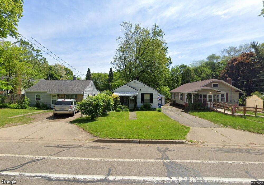
290 East Ave N Battle Creek, MI 49017
Northeast Battle Creek NeighborhoodEstimated Value: $121,000 - $157,000
3
Beds
1
Bath
1,140
Sq Ft
$120/Sq Ft
Est. Value
About This Home
This home is located at 290 East Ave N, Battle Creek, MI 49017 and is currently estimated at $137,092, approximately $120 per square foot. 290 East Ave N is a home located in Calhoun County with nearby schools including Verona Elementary School, Northwestern Middle School, and Battle Creek Central High School.
Ownership History
Date
Name
Owned For
Owner Type
Purchase Details
Closed on
May 29, 2003
Bought by
Williams Michael J and Williams Williams,Ann J
Current Estimated Value
Purchase Details
Closed on
Mar 15, 2003
Bought by
Mortgage Guaranty Insurance Corp
Purchase Details
Closed on
Dec 11, 2001
Sold by
Zalner Leslie M
Bought by
Southern Mi National Bank & Trust
Purchase Details
Closed on
Feb 29, 2000
Bought by
Zalner
Create a Home Valuation Report for This Property
The Home Valuation Report is an in-depth analysis detailing your home's value as well as a comparison with similar homes in the area
Home Values in the Area
Average Home Value in this Area
Purchase History
| Date | Buyer | Sale Price | Title Company |
|---|---|---|---|
| Williams Michael J | $50,000 | -- | |
| Mortgage Guaranty Insurance Corp | $62,000 | -- | |
| Southern Mi National Bank & Trust | -- | -- | |
| Zalner | $59,900 | -- |
Source: Public Records
Tax History Compared to Growth
Tax History
| Year | Tax Paid | Tax Assessment Tax Assessment Total Assessment is a certain percentage of the fair market value that is determined by local assessors to be the total taxable value of land and additions on the property. | Land | Improvement |
|---|---|---|---|---|
| 2025 | -- | $58,000 | $0 | $0 |
| 2024 | $1,115 | $53,251 | $0 | $0 |
| 2023 | $1,274 | $45,901 | $0 | $0 |
| 2022 | $1,007 | $39,786 | $0 | $0 |
| 2021 | $1,202 | $32,892 | $0 | $0 |
| 2020 | $1,190 | $30,636 | $0 | $0 |
| 2019 | $1,126 | $29,610 | $0 | $0 |
| 2018 | $1,126 | $27,457 | $753 | $26,704 |
| 2017 | $1,092 | $28,533 | $0 | $0 |
| 2016 | $1,090 | $28,253 | $0 | $0 |
| 2015 | $1,302 | $23,536 | $2,129 | $21,407 |
| 2014 | $1,302 | $33,297 | $2,129 | $31,168 |
Source: Public Records
Map
Nearby Homes
- 228 East Ave N
- 40 Oxford St
- 174 East Ave N
- 292 Hunter St
- 495 Emmett St E
- 276 Mckinley Ave N
- 731 Roosevelt Ave E
- 758 Roosevelt Ave E
- 179 Bryant St
- 186 Bryant St
- 37 Convis St
- 21 Bryant St
- 0 Capital Ave NE
- 28 Convis St
- 723 Capital Ave NE
- 21 Bradley St
- 124 Broad St N
- 176 Union St N
- 195 Union St N
- 20 Piper Ave