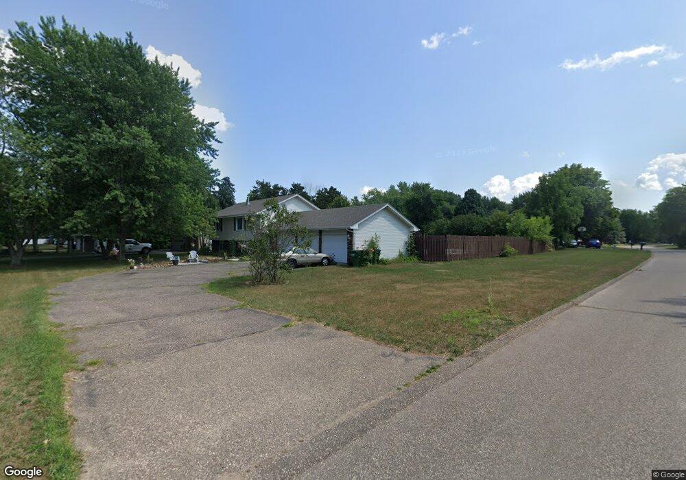
290 Elm St Circle Pines, MN 55014
Estimated Value: $346,000 - $390,000
4
Beds
2
Baths
1,046
Sq Ft
$354/Sq Ft
Est. Value
About This Home
This home is located at 290 Elm St, Circle Pines, MN 55014 and is currently estimated at $370,264, approximately $353 per square foot. 290 Elm St is a home located in Anoka County with nearby schools including Blue Heron Elementary School, Centennial Middle School, and Centennial High School.
Ownership History
Date
Name
Owned For
Owner Type
Purchase Details
Closed on
Apr 16, 2020
Sold by
Wier Tami A
Bought by
Edwards Robert and Edwards Gwendolyn
Current Estimated Value
Home Financials for this Owner
Home Financials are based on the most recent Mortgage that was taken out on this home.
Original Mortgage
$291,555
Outstanding Balance
$259,249
Interest Rate
3.6%
Mortgage Type
VA
Estimated Equity
$111,015
Purchase Details
Closed on
Mar 22, 2016
Sold by
Wendell Darrel W and Wendell Nancy K
Bought by
Wier Tami A
Home Financials for this Owner
Home Financials are based on the most recent Mortgage that was taken out on this home.
Original Mortgage
$242,250
Interest Rate
3.65%
Mortgage Type
New Conventional
Purchase Details
Closed on
Sep 27, 1996
Sold by
Wright Murray A and Wright Rebecca S
Bought by
Toensing Claire
Create a Home Valuation Report for This Property
The Home Valuation Report is an in-depth analysis detailing your home's value as well as a comparison with similar homes in the area
Home Values in the Area
Average Home Value in this Area
Purchase History
| Date | Buyer | Sale Price | Title Company |
|---|---|---|---|
| Edwards Robert | $285,000 | Sherbume Cnty Abstract & Ttl | |
| Wier Tami A | $255,000 | Partners Title Of North Subu | |
| Toensing Claire | $140,000 | -- |
Source: Public Records
Mortgage History
| Date | Status | Borrower | Loan Amount |
|---|---|---|---|
| Open | Edwards Robert | $291,555 | |
| Previous Owner | Wier Tami A | $242,250 |
Source: Public Records
Tax History
| Year | Tax Paid | Tax Assessment Tax Assessment Total Assessment is a certain percentage of the fair market value that is determined by local assessors to be the total taxable value of land and additions on the property. | Land | Improvement |
|---|---|---|---|---|
| 2025 | $2,341 | $360,400 | $120,000 | $240,400 |
| 2024 | $2,341 | $344,100 | $113,800 | $230,300 |
| 2023 | $3,862 | $351,100 | $113,800 | $237,300 |
| 2022 | $3,479 | $348,100 | $102,500 | $245,600 |
| 2021 | $3,224 | $278,200 | $78,000 | $200,200 |
| 2020 | $3,205 | $253,300 | $78,000 | $175,300 |
| 2019 | $3,188 | $243,300 | $72,500 | $170,800 |
| 2018 | $2,798 | $230,200 | $0 | $0 |
| 2017 | $2,526 | $222,400 | $0 | $0 |
| 2016 | $2,595 | $192,500 | $0 | $0 |
| 2015 | -- | $192,500 | $71,300 | $121,200 |
| 2014 | -- | $173,700 | $66,000 | $107,700 |
Source: Public Records
Map
Nearby Homes
- 7163 Whippoorwill Ln
- 24 Elm St
- 7127 Ivy Ridge Ln
- 7095 Ivy Ridge Ln
- 508 Aqua Cir
- 7298 Lea Ct N Unit 6
- 6780 Shadow Lake Dr W
- 7273 Stagecoach Trail
- 7164 Sunset Ave
- 17 Marvy St
- 6901 Glenview Ln
- 4841 105th Ln NE
- 4831 104th Ln NE
- 4842 104th Ave NE
- 8 Pointcross Dr
- 10430 Lever St NE
- 693 Eagle Ct
- 365 Sioux Lookout
- 7785 Clydesdale Cir
- 102 Century Trail
Your Personal Tour Guide
Ask me questions while you tour the home.