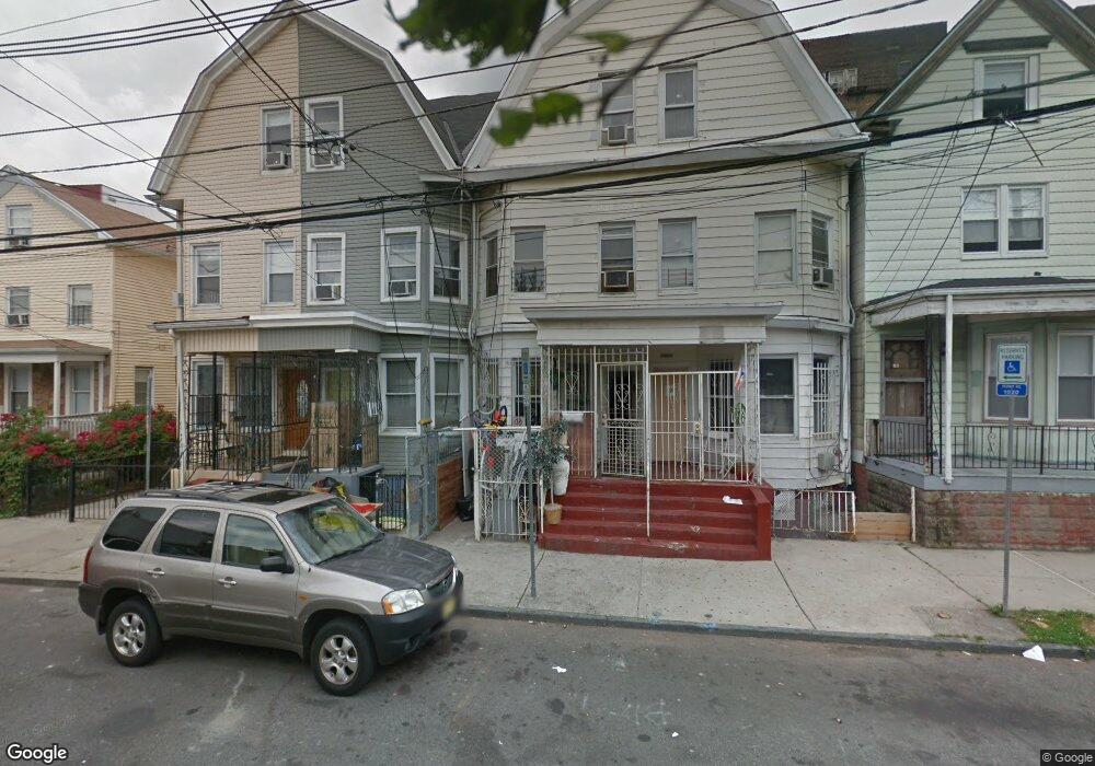
290 Garside St Newark, NJ 07104
Mount Pleasant-Lower Broadway NeighborhoodEstimated Value: $450,771 - $466,000
Studio
--
Bath
1,886
Sq Ft
$243/Sq Ft
Est. Value
About This Home
This home is located at 290 Garside St, Newark, NJ 07104 and is currently estimated at $457,943, approximately $242 per square foot. 290 Garside St is a home located in Essex County with nearby schools including Rafael Hernandez School, First Avenue Elementary School, and Franklin School.
Ownership History
Date
Name
Owned For
Owner Type
Purchase Details
Closed on
Aug 10, 2001
Current Estimated Value
Purchase Details
Closed on
Apr 14, 2000
Sold by
Luscy Walter
Bought by
Valcarcel Jose and Valcarcel Teresita
Home Financials for this Owner
Home Financials are based on the most recent Mortgage that was taken out on this home.
Original Mortgage
$21,000
Interest Rate
8.23%
Create a Home Valuation Report for This Property
The Home Valuation Report is an in-depth analysis detailing your home's value as well as a comparison with similar homes in the area
Home Values in the Area
Average Home Value in this Area
Purchase History
| Date | Buyer | Sale Price | Title Company |
|---|---|---|---|
| -- | -- | -- | |
| Valcarcel Jose | $35,000 | -- |
Source: Public Records
Mortgage History
| Date | Status | Borrower | Loan Amount |
|---|---|---|---|
| Previous Owner | Valcarcel Jose | $21,000 |
Source: Public Records
Tax History
| Year | Tax Paid | Tax Assessment Tax Assessment Total Assessment is a certain percentage of the fair market value that is determined by local assessors to be the total taxable value of land and additions on the property. | Land | Improvement |
|---|---|---|---|---|
| 2025 | $4,470 | $119,900 | $31,500 | $88,400 |
| 2024 | $4,470 | $119,900 | $31,500 | $88,400 |
| 2022 | $4,479 | $119,900 | $31,500 | $88,400 |
| 2021 | $4,477 | $119,900 | $31,500 | $88,400 |
| 2020 | $4,556 | $119,900 | $31,500 | $88,400 |
| 2019 | $4,509 | $119,900 | $31,500 | $88,400 |
| 2018 | $4,428 | $119,900 | $31,500 | $88,400 |
| 2017 | $4,268 | $119,900 | $31,500 | $88,400 |
| 2016 | $4,125 | $119,900 | $31,500 | $88,400 |
| 2015 | $3,967 | $119,900 | $31,500 | $88,400 |
| 2014 | $3,718 | $119,900 | $31,500 | $88,400 |
Source: Public Records
Map
Nearby Homes
- 249 Summer Ave
- 245 Summer Ave
- 344 Clifton Ave
- 219 Summer Ave
- 303 Clifton Ave
- 322 Clifton Ave
- 320 Clifton Ave
- 305 Clifton Ave
- 308 Clifton Ave
- 320 Summer Ave
- 283 Clifton Ave
- 15 Taylor St
- 68 Kearny St
- 21 Wakeman Ave
- 23 Wakeman Ave
- 408-410 Clifton Ave
- 345 Summer Ave
- 105 Broad St Unit 204
- 105 Broad St Unit 205
- 54 Oriental St Unit 2
- 290 Garside St
- 290 1/2 Garside St
- 292 Garside St
- 288 Garside St
- 288 Garside St
- 284 Garside St Unit 286
- 294-296 Garside St
- 294-296 Garside St Unit 2nd floor
- 298 Garside St
- 282 Garside St
- 289 Garside St Unit 291
- 280 Garside St
- 280 Garside St
- 293 Garside St
- 295 Garside St
- 278 Garside St
- 278 Garside St
- 311 Mt Prospect Ave Unit 5L
- 311 Mt Prospect Ave Unit 1M
- 299 Garside St
Your Personal Tour Guide
Ask me questions while you tour the home.