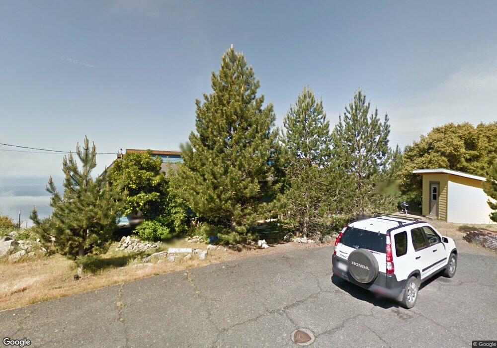
290 Hemlock Rd Whitethorn, CA 95589
Estimated Value: $497,235 - $567,000
2
Beds
2
Baths
1,660
Sq Ft
$316/Sq Ft
Est. Value
About This Home
This home is located at 290 Hemlock Rd, Whitethorn, CA 95589 and is currently estimated at $524,309, approximately $315 per square foot. 290 Hemlock Rd is a home located in Humboldt County.
Ownership History
Date
Name
Owned For
Owner Type
Purchase Details
Closed on
Feb 11, 2010
Sold by
Dyer R Kevin
Bought by
Smith Lance
Current Estimated Value
Home Financials for this Owner
Home Financials are based on the most recent Mortgage that was taken out on this home.
Original Mortgage
$340,000
Outstanding Balance
$224,346
Interest Rate
4.97%
Mortgage Type
Seller Take Back
Estimated Equity
$299,963
Purchase Details
Closed on
Oct 16, 2007
Sold by
Smith Lance
Bought by
Dyer R Kevin
Purchase Details
Closed on
Jun 13, 2007
Sold by
Dyer R Kevin
Bought by
Smith Lance
Create a Home Valuation Report for This Property
The Home Valuation Report is an in-depth analysis detailing your home's value as well as a comparison with similar homes in the area
Home Values in the Area
Average Home Value in this Area
Purchase History
| Date | Buyer | Sale Price | Title Company |
|---|---|---|---|
| Smith Lance | $390,000 | Humboldt Land Title Company | |
| Dyer R Kevin | -- | None Available | |
| Smith Lance | $500,000 | First American Title Co |
Source: Public Records
Mortgage History
| Date | Status | Borrower | Loan Amount |
|---|---|---|---|
| Open | Smith Lance | $340,000 |
Source: Public Records
Tax History
| Year | Tax Paid | Tax Assessment Tax Assessment Total Assessment is a certain percentage of the fair market value that is determined by local assessors to be the total taxable value of land and additions on the property. | Land | Improvement |
|---|---|---|---|---|
| 2025 | $5,476 | $490,598 | $206,525 | $284,073 |
| 2024 | $5,476 | $480,979 | $202,476 | $278,503 |
| 2023 | $5,498 | $471,549 | $198,506 | $273,043 |
| 2022 | $5,415 | $462,304 | $194,614 | $267,690 |
| 2021 | $5,216 | $453,241 | $190,799 | $262,442 |
| 2020 | $4,858 | $413,094 | $188,843 | $224,251 |
| 2019 | $4,740 | $404,995 | $185,141 | $219,854 |
| 2018 | $4,662 | $397,055 | $181,511 | $215,544 |
| 2017 | $4,477 | $389,270 | $177,952 | $211,318 |
| 2016 | $4,451 | $381,638 | $174,463 | $207,175 |
| 2015 | $4,429 | $375,907 | $171,843 | $204,064 |
| 2014 | $4,045 | $368,544 | $168,477 | $200,067 |
Source: Public Records
Map
Nearby Homes
- 39 Hemlock Rd
- 1071 Hillside Dr
- 65 Carson Ct
- 85 Carson Ct
- 538 Willow Glen Rd
- 127 Cook Rd
- 2685 Toth Rd Unit 20 Block 193
- 171 Cook Rd
- 181 & 165 Ranger Ct
- 0 Willow Glen Rd
- 2715 Toth Rd
- 62 Highview Cir
- 454 & 476 Forest Rd
- 34 Vance Rd
- 463 Cook Rd
- 266 Olson Rd
- 7431 Shelter Cove Rd
- 450 Hillside Dr
- 1085 Hillside Dr
- 914 Blueridge Rd Unit 13
Your Personal Tour Guide
Ask me questions while you tour the home.