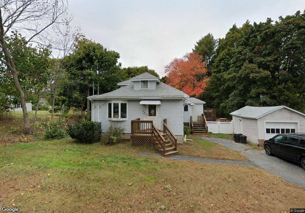
290 Howe St Methuen, MA 01844
The North End NeighborhoodEstimated Value: $509,000 - $551,295
2
Beds
1
Bath
1,205
Sq Ft
$439/Sq Ft
Est. Value
About This Home
This home is located at 290 Howe St, Methuen, MA 01844 and is currently estimated at $529,074, approximately $439 per square foot. 290 Howe St is a home located in Essex County with nearby schools including Methuen High School, Hilltop School, and Saint Monica School.
Ownership History
Date
Name
Owned For
Owner Type
Purchase Details
Closed on
Sep 17, 2020
Sold by
Landry Long Ret
Bought by
Landry Betty J
Current Estimated Value
Home Financials for this Owner
Home Financials are based on the most recent Mortgage that was taken out on this home.
Original Mortgage
$110,000
Outstanding Balance
$97,618
Interest Rate
2.9%
Mortgage Type
New Conventional
Estimated Equity
$431,456
Create a Home Valuation Report for This Property
The Home Valuation Report is an in-depth analysis detailing your home's value as well as a comparison with similar homes in the area
Home Values in the Area
Average Home Value in this Area
Purchase History
| Date | Buyer | Sale Price | Title Company |
|---|---|---|---|
| Landry Betty J | -- | None Available |
Source: Public Records
Mortgage History
| Date | Status | Borrower | Loan Amount |
|---|---|---|---|
| Open | Landry Betty J | $110,000 |
Source: Public Records
Tax History Compared to Growth
Tax History
| Year | Tax Paid | Tax Assessment Tax Assessment Total Assessment is a certain percentage of the fair market value that is determined by local assessors to be the total taxable value of land and additions on the property. | Land | Improvement |
|---|---|---|---|---|
| 2025 | $5,375 | $508,000 | $296,200 | $211,800 |
| 2024 | $5,114 | $470,900 | $258,900 | $212,000 |
| 2023 | $4,886 | $417,600 | $227,800 | $189,800 |
| 2022 | $4,735 | $362,800 | $186,400 | $176,400 |
| 2021 | $4,503 | $341,400 | $176,100 | $165,300 |
| 2020 | $4,438 | $330,200 | $176,100 | $154,100 |
| 2019 | $4,213 | $296,900 | $165,700 | $131,200 |
| 2018 | $3,980 | $278,900 | $155,300 | $123,600 |
| 2017 | $3,938 | $268,800 | $155,300 | $113,500 |
| 2016 | $3,763 | $254,100 | $145,000 | $109,100 |
Source: Public Records
Map
Nearby Homes
- 257 Howe St
- 5 Hampstead St
- 36 Mary Lou St
- 23 Country Club Cir Unit 23
- 15 Argilla Rd
- 8 Kerri Ann Cir
- 34 Archibald Ave
- 70 Phoebe St Unit 86
- VP Washington St
- 31 Fairways Ln
- 64-66 Howe St
- 45 Washington St Unit 59
- 20 Washington St Unit 54
- 7 Sequoia Dr Unit 7
- 14 Birch Hill Dr
- 18 Maple Ridge Rd
- 2 Renaissance Cir
- 4 Natasha Cir
- 139 North St
- 3 Michael Anthony Rd
- 284 Howe St
- 299 Howe St
- 297 Howe St
- 118 Rolling Ridge Ln
- 280 Howe St
- 302 Howe St
- 303 Howe St
- 2 Rolling Ridge Ln
- 17 Norwich Ln
- 5 Stoney Brook Rd
- 114 Rolling Ridge Ln
- 305 Howe St
- 1 Stoney Brook Rd
- 291 Howe St
- 19 Norwich Ln
- 4 Rolling Ridge Ln
- 9 Stoneybrook Rd
- 9 Stoney Brook Rd
- 15 Stoney Brook Rd
- 137 Rolling Ridge Ln