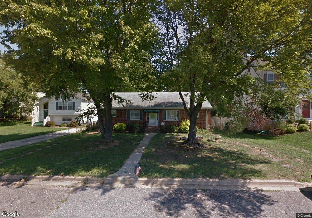
290 Locust Ave Annapolis, MD 21401
West Annapolis-Wardour NeighborhoodEstimated Value: $805,799 - $933,000
Studio
3
Baths
2,646
Sq Ft
$326/Sq Ft
Est. Value
About This Home
This home is located at 290 Locust Ave, Annapolis, MD 21401 and is currently estimated at $863,200, approximately $326 per square foot. 290 Locust Ave is a home located in Anne Arundel County with nearby schools including Germantown Elementary School, Wiley H. Bates Middle School, and Annapolis High School.
Ownership History
Date
Name
Owned For
Owner Type
Purchase Details
Closed on
Jun 3, 1993
Sold by
Angell Philip S
Bought by
Maril Crilly Nadja and Crilly Peter B
Current Estimated Value
Purchase Details
Closed on
Nov 3, 1988
Sold by
Hyatt Ruben
Bought by
Angell Philip S
Home Financials for this Owner
Home Financials are based on the most recent Mortgage that was taken out on this home.
Original Mortgage
$129,600
Interest Rate
10.22%
Create a Home Valuation Report for This Property
The Home Valuation Report is an in-depth analysis detailing your home's value as well as a comparison with similar homes in the area
Home Values in the Area
Average Home Value in this Area
Purchase History
| Date | Buyer | Sale Price | Title Company |
|---|---|---|---|
| Maril Crilly Nadja | $170,000 | -- | |
| Angell Philip S | $162,000 | -- |
Source: Public Records
Mortgage History
| Date | Status | Borrower | Loan Amount |
|---|---|---|---|
| Previous Owner | Angell Philip S | $129,600 |
Source: Public Records
Tax History
| Year | Tax Paid | Tax Assessment Tax Assessment Total Assessment is a certain percentage of the fair market value that is determined by local assessors to be the total taxable value of land and additions on the property. | Land | Improvement |
|---|---|---|---|---|
| 2025 | $8,275 | $633,733 | -- | -- |
| 2024 | $8,275 | $575,867 | $0 | $0 |
| 2023 | $7,438 | $518,000 | $343,700 | $174,300 |
| 2022 | $7,126 | $505,733 | $0 | $0 |
| 2021 | $6,785 | $493,467 | $0 | $0 |
| 2020 | $6,785 | $481,200 | $316,000 | $165,200 |
| 2019 | $6,790 | $481,200 | $316,000 | $165,200 |
| 2018 | $6,693 | $481,200 | $316,000 | $165,200 |
| 2017 | $6,421 | $492,000 | $0 | $0 |
| 2016 | -- | $450,967 | $0 | $0 |
| 2015 | -- | $409,933 | $0 | $0 |
| 2014 | -- | $368,900 | $0 | $0 |
Source: Public Records
Map
Nearby Homes
- 25 Locust Ave
- 210 N Linden Ave
- 1204 Cedar Park Rd Unit 6
- 913 Ridgewood St
- 1207 Mcguckian St
- 908 Spa Rd
- 5 Park Place Unit 431
- 5 Park Place Unit 722
- 5 Park Place Unit 626
- 5 Park Place Unit 102
- 5 Park Place Unit 602
- 5 Park Place Unit 527
- 19 Williams Dr
- 206 Admiral Dr
- 53 Spa Rd
- 1403 Corey Ln
- 285 West St Unit 15
- 192 Clay St
- 1808 Lincoln Dr
- 111 Clay St