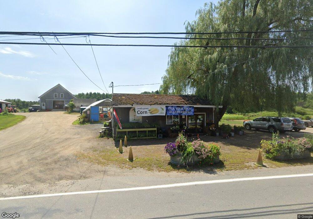
290 Main Ave South Hampton, NH 03827
Estimated Value: $392,000 - $970,129
Studio
1
Bath
--
Sq Ft
19.88
Acres Lot
About This Home
This home is located at 290 Main Ave, South Hampton, NH 03827 and is currently estimated at $654,282. 290 Main Ave is a home located in Rockingham County with nearby schools including South Hampton Barnard School, Winnacunnet High School, and Amesbury Seventh-Day Adventist School.
Ownership History
Date
Name
Owned For
Owner Type
Purchase Details
Closed on
Jul 21, 2021
Sold by
Jocelyn Vanbokkelen Ret and Vanbokkelen
Bought by
Balog Gregory M and Smoley-Balog Reina F
Current Estimated Value
Purchase Details
Closed on
Dec 21, 1999
Sold by
Syvinski Walter A and Syvinski Blanche A
Bought by
Vanbokkelen Ft
Create a Home Valuation Report for This Property
The Home Valuation Report is an in-depth analysis detailing your home's value as well as a comparison with similar homes in the area
Home Values in the Area
Average Home Value in this Area
Purchase History
| Date | Buyer | Sale Price | Title Company |
|---|---|---|---|
| Balog Gregory M | $253,000 | None Available | |
| Balog Gregory M | $253,000 | None Available | |
| Balog Gregory M | $253,000 | None Available | |
| Vanbokkelen Ft | $375,000 | -- | |
| Vanbokkelen Ft | $375,000 | -- |
Source: Public Records
Tax History
| Year | Tax Paid | Tax Assessment Tax Assessment Total Assessment is a certain percentage of the fair market value that is determined by local assessors to be the total taxable value of land and additions on the property. | Land | Improvement |
|---|---|---|---|---|
| 2025 | $9,250 | $639,263 | $392,663 | $246,600 |
| 2024 | $8,825 | $639,484 | $392,884 | $246,600 |
| 2023 | $8,821 | $639,184 | $392,584 | $246,600 |
| 2022 | $7,239 | $364,500 | $199,300 | $165,200 |
| 2021 | $7,276 | $365,080 | $199,880 | $165,200 |
| 2020 | $6,933 | $365,082 | $199,882 | $165,200 |
| 2019 | $6,520 | $365,256 | $200,056 | $165,200 |
| 2018 | $19,612 | $365,051 | $199,851 | $165,200 |
| 2017 | $2,859 | $294,533 | $165,133 | $129,400 |
| 2016 | $5,369 | $294,533 | $165,133 | $129,400 |
| 2015 | $5,877 | $294,905 | $165,505 | $129,400 |
| 2014 | $5,498 | $294,023 | $165,523 | $128,500 |
| 2012 | $5,276 | $357,716 | $275,616 | $82,100 |
Source: Public Records
Map
Nearby Homes
- 26 Pamela Ln
- 67 Cynthia Ln
- 63 S Hampton Rd
- 49 Orchard St
- 64 Whitehall Rd
- 81 High St Unit 23
- 7 Sanborn Terrace
- 22 Pond St Unit 2
- 25 High St
- 6 Cammetts Ct Unit 6
- 31 Newton Rd
- 25 Cedar St Unit 4
- 75 Main St Unit G (#104)
- 2 Perkins St
- 51 Locust St
- 40 Congress St
- 10 Congress St Unit 301
- 10 Congress St Unit 302
- 152 Kimball Rd
- 253 Amesbury Rd
Your Personal Tour Guide
Ask me questions while you tour the home.