290 Mill Hill Ln Huntly, VA 22640
Estimated Value: $881,000 - $1,100,337
2
Beds
2
Baths
2,618
Sq Ft
$372/Sq Ft
Est. Value
About This Home
This home is located at 290 Mill Hill Ln, Huntly, VA 22640 and is currently estimated at $974,112, approximately $372 per square foot. 290 Mill Hill Ln is a home located in Rappahannock County with nearby schools including Rappahannock County Elementary School and Rappahannock County High School.
Ownership History
Date
Name
Owned For
Owner Type
Purchase Details
Closed on
Aug 17, 2015
Sold by
Foster Shirley Ann
Bought by
Wood James P
Current Estimated Value
Home Financials for this Owner
Home Financials are based on the most recent Mortgage that was taken out on this home.
Original Mortgage
$155,000
Outstanding Balance
$60,374
Interest Rate
4%
Mortgage Type
Seller Take Back
Estimated Equity
$913,738
Purchase Details
Closed on
Oct 5, 2012
Sold by
Wood James Phillip and Wood James P
Bought by
Wood James P and Serine Nicole D
Create a Home Valuation Report for This Property
The Home Valuation Report is an in-depth analysis detailing your home's value as well as a comparison with similar homes in the area
Home Values in the Area
Average Home Value in this Area
Purchase History
| Date | Buyer | Sale Price | Title Company |
|---|---|---|---|
| Wood James P | $180,000 | None Available | |
| Wood James P | -- | None Available |
Source: Public Records
Mortgage History
| Date | Status | Borrower | Loan Amount |
|---|---|---|---|
| Open | Wood James P | $155,000 |
Source: Public Records
Tax History Compared to Growth
Tax History
| Year | Tax Paid | Tax Assessment Tax Assessment Total Assessment is a certain percentage of the fair market value that is determined by local assessors to be the total taxable value of land and additions on the property. | Land | Improvement |
|---|---|---|---|---|
| 2025 | $4,392 | $697,200 | $159,300 | $537,900 |
| 2024 | $4,253 | $887,600 | $349,700 | $537,900 |
| 2023 | $4,253 | $887,600 | $349,700 | $537,900 |
| 2022 | $4,183 | $887,600 | $349,700 | $537,900 |
| 2021 | $4,245 | $771,900 | $324,700 | $447,200 |
| 2020 | $4,245 | $771,900 | $324,700 | $447,200 |
| 2019 | $4,245 | $771,900 | $324,700 | $447,200 |
| 2018 | $940 | $771,900 | $324,700 | $447,200 |
| 2017 | $940 | $0 | $0 | $0 |
| 2016 | -- | $771,900 | $0 | $0 |
| 2015 | -- | $767,800 | $314,000 | $453,800 |
| 2014 | -- | $767,800 | $314,000 | $453,800 |
Source: Public Records
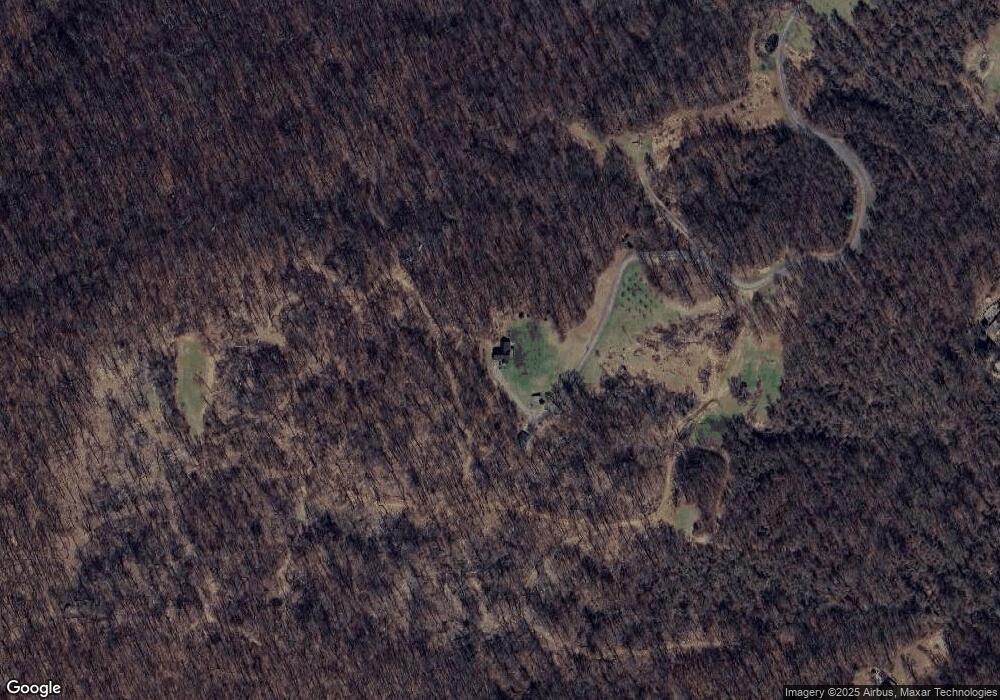
Map
Nearby Homes
- 290 Riley Hollow Rd
- 18 Bolton Branch Ln
- 156 Bear Wallow Rd
- 63 Riley Hollow Rd
- 0 Woodlands Dr Unit VARP2001854
- 521 Dearing Rd
- 0 Apache Trail Unit VARP2001638
- 46 Rock Ridge Ln
- 0 0 Unit VARP2002068
- 675 Zachary Taylor Hwy
- 7 Red Haven Ln
- 20 Waterfall Rd
- 130 Highland Way
- 503 Pomeroy Rd
- 115 Chester Gap Rd
- 37 and 41 Headwaters Rd
- 13886 Crest Hill Rd
- 0 Aileen Rd
- 175 Mountain Heights Rd
- 126 Locust Tree Ln
- 83 Mill Hill Rd
- 200 Bolton Branch Ln
- 76 Old Browntown Ln
- 213 Mill Hill Rd
- 102 Bolton Branch Ln
- 206 Mill Hill Rd
- 40 Old Browntown Ln
- 130 Old Browntown Ln
- 151 Bolton Branch Ln
- 0 Old Browntown Rd Unit 1006597806
- 173 Old Browntown Ln
- 106 Old Browntown Ln
- 106 Old Browntown Ln
- 180 Old Browntown Ln
- 0 Old Browntown Ln Unit 1002657346
- 0 Old Browntown Ln Unit 1007668784
- 0 Old Browntown Ln Unit 1007183888
- 0 Old Browntown Ln Unit 1007183872
- 0 Old Browntown Ln Unit RP9618223
- 0 Old Browntown Ln Unit VARP2001464