290 Moody Rd Pocahontas, AR 72455
Estimated Value: $159,000 - $374,357
--
Bed
2
Baths
2,580
Sq Ft
$100/Sq Ft
Est. Value
About This Home
This home is located at 290 Moody Rd, Pocahontas, AR 72455 and is currently estimated at $257,786, approximately $99 per square foot. 290 Moody Rd is a home with nearby schools including Pocahontas Elementary School, M.D. Williams Middle School, and Pocahontas Junior High School.
Ownership History
Date
Name
Owned For
Owner Type
Purchase Details
Closed on
Feb 17, 2022
Sold by
Elaine G Ragan Irrevocable Living Trust
Bought by
Brown Kevin Douglas and Brown Jamie Lyn
Current Estimated Value
Home Financials for this Owner
Home Financials are based on the most recent Mortgage that was taken out on this home.
Original Mortgage
$87,520
Outstanding Balance
$69,962
Interest Rate
2.93%
Mortgage Type
New Conventional
Estimated Equity
$187,824
Purchase Details
Closed on
Jul 7, 2005
Bought by
Riggan To Fort
Create a Home Valuation Report for This Property
The Home Valuation Report is an in-depth analysis detailing your home's value as well as a comparison with similar homes in the area
Home Values in the Area
Average Home Value in this Area
Purchase History
| Date | Buyer | Sale Price | Title Company |
|---|---|---|---|
| Brown Kevin Douglas | $105,000 | Brown Don R | |
| Brown Kevin Douglas | $105,000 | None Listed On Document | |
| Riggan To Fort | $200,000 | -- |
Source: Public Records
Mortgage History
| Date | Status | Borrower | Loan Amount |
|---|---|---|---|
| Open | Brown Kevin Douglas | $87,520 | |
| Closed | Brown Kevin Douglas | $87,520 |
Source: Public Records
Tax History Compared to Growth
Tax History
| Year | Tax Paid | Tax Assessment Tax Assessment Total Assessment is a certain percentage of the fair market value that is determined by local assessors to be the total taxable value of land and additions on the property. | Land | Improvement |
|---|---|---|---|---|
| 2024 | $1,557 | $40,110 | $4,120 | $35,990 |
| 2023 | $1,557 | $40,110 | $4,120 | $35,990 |
| 2022 | $1,598 | $40,110 | $4,120 | $35,990 |
| 2021 | $1,484 | $40,110 | $4,120 | $35,990 |
| 2020 | $1,313 | $33,795 | $4,130 | $29,665 |
| 2019 | $1,312 | $33,795 | $4,130 | $29,665 |
| 2018 | $1,224 | $33,795 | $4,130 | $29,665 |
| 2017 | $1,012 | $30,890 | $3,185 | $27,705 |
| 2016 | $481 | $13,595 | $3,185 | $10,410 |
| 2015 | $481 | $13,595 | $3,185 | $10,410 |
| 2014 | $454 | $13,595 | $3,185 | $10,410 |
Source: Public Records
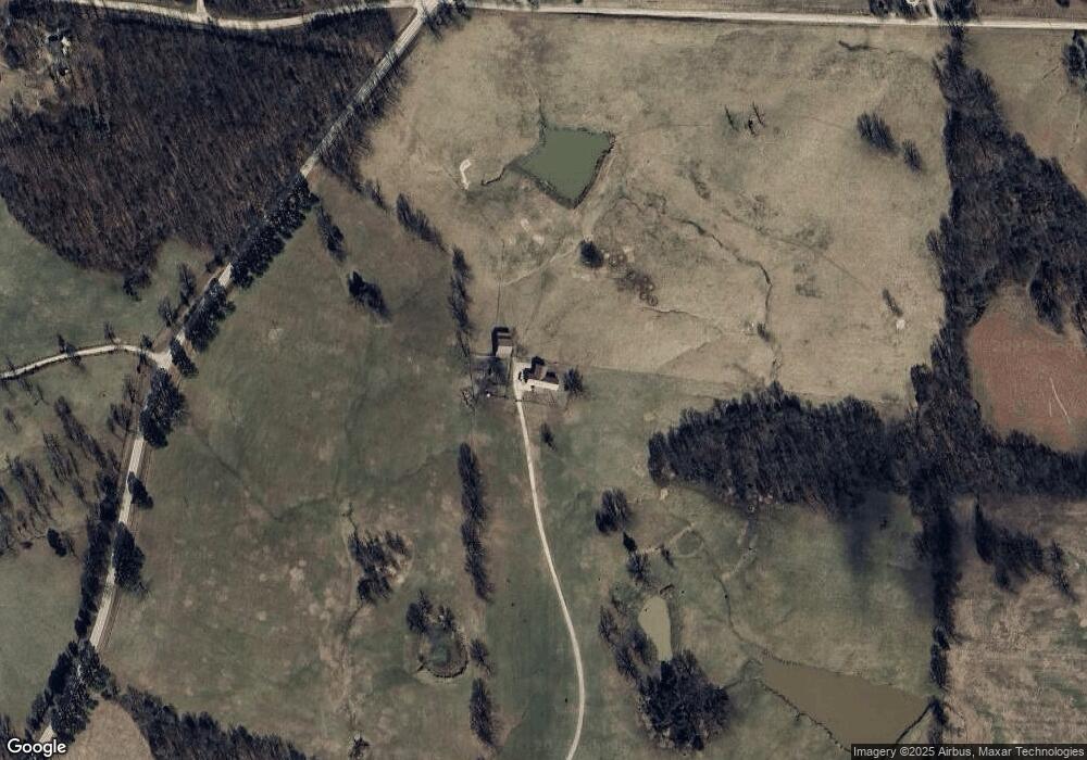
Map
Nearby Homes
- 5947 Highway 166 S
- 60 Law 216
- 40 Squirrel Rd
- 14 Acres Kelly Bend Rd
- 1879 Squirrel Rd Unit 1879 Squirrel Rd, Im
- 184 Lawrence Road 410
- 6134 Highway 62w
- 1477 Highway 166 S
- 653 Squirrel Rd
- 375 Hill Rd
- 5880 Old County Rd
- 100 Stephens Ln
- 145 Law 296
- 200 Law 296
- 376 1st St
- 390 English Hulse Rd
- 111 3rd St
- TBD Westwood Rd
- 916 Pear St
- TBD Highway 166 S
- 95 Crenshaw Rd
- 6100 Highway 166 S
- 6099 Highway 166 S
- 270 Julie Dean Rd
- 6041 Highway 166 S
- 353 Julie Dean Rd
- 6009 Highway 166 S
- 253 Crenshaw Rd
- 5920 Highway 166 S
- 5936 Highway 166 S
- 6742 Highway 166 S
- 5919 Highway 166 S
- 5906 Highway 166 S
- 349 Crenshaw Rd
- 5827 Highway 166 S
- 00 166
- 0 166
- 6869 Highway 166 S
- 5782 Highway 166 S
- 6903 Highway 166 S