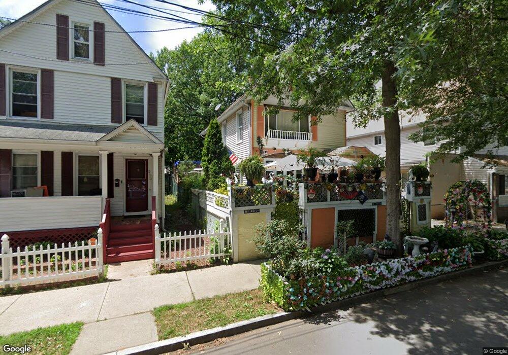
290 Newhall St New Haven, CT 06511
Newhallville NeighborhoodEstimated Value: $242,000 - $362,000
3
Beds
1
Bath
1,568
Sq Ft
$187/Sq Ft
Est. Value
About This Home
This home is located at 290 Newhall St, New Haven, CT 06511 and is currently estimated at $292,711, approximately $186 per square foot. 290 Newhall St is a home located in New Haven County with nearby schools including Highville Charter School and The Foote School.
Ownership History
Date
Name
Owned For
Owner Type
Purchase Details
Closed on
Dec 23, 1996
Sold by
Krijer Stephen
Bought by
Reddish Harry
Current Estimated Value
Home Financials for this Owner
Home Financials are based on the most recent Mortgage that was taken out on this home.
Original Mortgage
$3,000
Interest Rate
7.62%
Mortgage Type
Unknown
Purchase Details
Closed on
May 14, 1987
Sold by
Ford Bertha
Bought by
Moye Patricia
Home Financials for this Owner
Home Financials are based on the most recent Mortgage that was taken out on this home.
Original Mortgage
$60,300
Interest Rate
9.31%
Create a Home Valuation Report for This Property
The Home Valuation Report is an in-depth analysis detailing your home's value as well as a comparison with similar homes in the area
Home Values in the Area
Average Home Value in this Area
Purchase History
| Date | Buyer | Sale Price | Title Company |
|---|---|---|---|
| Reddish Harry | $4,500 | -- | |
| Moye Patricia | $67,000 | -- |
Source: Public Records
Mortgage History
| Date | Status | Borrower | Loan Amount |
|---|---|---|---|
| Open | Moye Patricia | $34,900 | |
| Closed | Moye Patricia | $3,000 | |
| Previous Owner | Moye Patricia | $60,300 |
Source: Public Records
Tax History Compared to Growth
Tax History
| Year | Tax Paid | Tax Assessment Tax Assessment Total Assessment is a certain percentage of the fair market value that is determined by local assessors to be the total taxable value of land and additions on the property. | Land | Improvement |
|---|---|---|---|---|
| 2025 | $4,311 | $109,410 | $28,350 | $81,060 |
| 2024 | $4,212 | $109,410 | $28,350 | $81,060 |
| 2023 | $4,070 | $109,410 | $28,350 | $81,060 |
| 2022 | $5,462 | $137,410 | $28,350 | $109,060 |
| 2021 | $3,680 | $83,860 | $22,680 | $61,180 |
| 2020 | $3,680 | $83,860 | $22,680 | $61,180 |
| 2019 | $3,604 | $83,860 | $22,680 | $61,180 |
| 2018 | $3,604 | $83,860 | $22,680 | $61,180 |
| 2017 | $3,244 | $83,860 | $22,680 | $61,180 |
| 2016 | $2,926 | $70,420 | $10,710 | $59,710 |
| 2015 | $2,926 | $70,420 | $10,710 | $59,710 |
| 2014 | $2,926 | $70,420 | $10,710 | $59,710 |
Source: Public Records
Map
Nearby Homes
- 81 Butler St
- 238 Newhall St
- 39 Lander St
- 64 Lilac St
- 327 Shelton Ave
- 406 Newhall St
- 407 Shelton Ave
- 174 Butler St
- 245 Goodrich St
- 97 Goodyear St
- 622 Winchester Ave
- 77 Hazel St
- 255 Starr St
- 39 Edwards St
- 254 Starr St
- 773 Dixwell Ave
- 98 Thompson St
- 6 Prospect Ct
- 500 Prospect St Unit 1E
- 500 Prospect St Unit 4A
- 286 Newhall St
- 292 Newhall St
- 420 Huntington St
- 424 Huntington St
- 428 Huntington St
- 278 Newhall St
- 406 Huntington St
- 432 Huntington St
- 300 Newhall St
- 59 Bassett St
- 59 Bassett St Unit 2
- 402 Huntington St
- 436 Huntington St
- 57 Bassett St Unit 2
- 53 Bassett St
- 61 Bassett St
- 304 Newhall St
- 396 Huntington St
- 407 Huntington St