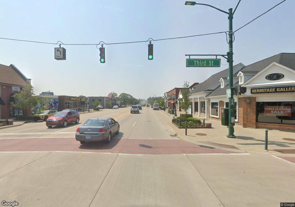
290 S Rochester Rd Oakland, MI 48363
Estimated Value: $255,000 - $312,000
3
Beds
2
Baths
1,378
Sq Ft
$203/Sq Ft
Est. Value
About This Home
This home is located at 290 S Rochester Rd, Oakland, MI 48363 and is currently estimated at $279,987, approximately $203 per square foot. 290 S Rochester Rd is a home located in Oakland County with nearby schools including Hamilton Parsons Elementary School.
Ownership History
Date
Name
Owned For
Owner Type
Purchase Details
Closed on
Jul 15, 2011
Sold by
Serota Kern O and Serota Jan
Bought by
Kos Residential Properties Llc
Current Estimated Value
Purchase Details
Closed on
Jul 25, 2007
Sold by
Norton Rachael M
Bought by
Norton Brian L
Purchase Details
Closed on
Apr 24, 2007
Sold by
Norton Brian L and Norton Rachael
Bought by
Aurora Loan Services Llc
Purchase Details
Closed on
May 22, 2002
Sold by
Musick Jeremy J
Bought by
Norton Brian L
Create a Home Valuation Report for This Property
The Home Valuation Report is an in-depth analysis detailing your home's value as well as a comparison with similar homes in the area
Home Values in the Area
Average Home Value in this Area
Purchase History
| Date | Buyer | Sale Price | Title Company |
|---|---|---|---|
| Kos Residential Properties Llc | -- | None Available | |
| Norton Brian L | -- | None Available | |
| Aurora Loan Services Llc | $145,186 | None Available | |
| Norton Brian L | $130,000 | -- |
Source: Public Records
Tax History Compared to Growth
Tax History
| Year | Tax Paid | Tax Assessment Tax Assessment Total Assessment is a certain percentage of the fair market value that is determined by local assessors to be the total taxable value of land and additions on the property. | Land | Improvement |
|---|---|---|---|---|
| 2024 | $2,198 | $121,140 | $0 | $0 |
| 2023 | $2,111 | $115,900 | $0 | $0 |
| 2022 | $2,390 | $104,110 | $0 | $0 |
| 2021 | $2,285 | $99,270 | $0 | $0 |
| 2020 | $1,946 | $96,040 | $0 | $0 |
| 2019 | $2,123 | $85,910 | $0 | $0 |
| 2018 | $2,076 | $72,910 | $0 | $0 |
| 2017 | $2,018 | $68,180 | $0 | $0 |
| 2016 | $2,004 | $65,210 | $0 | $0 |
| 2015 | -- | $63,330 | $0 | $0 |
| 2014 | -- | $52,020 | $0 | $0 |
| 2011 | -- | $41,250 | $0 | $0 |
Source: Public Records
Map
Nearby Homes
- 400 E Romeo Rd
- 728 E Romeo Rd
- 270 N Rochester Rd
- 1111 Rush Rd
- 931 Rochester Rd
- 2.05 Acres VL - Knights Bridge
- 2.02 Acres VL - Knights Bridge
- 4.23 Acres VL - Knights Bridge
- 000 Knights Bridge
- 11.01 Acres Vacant L Knights Bridge
- The Rockford Plan at Tamarack Heights
- The Jefferson II Plan at Tamarack Heights
- The Everest Plan at Tamarack Heights
- The Harrison Plan at Tamarack Heights
- The Jefferson Plan at Tamarack Heights
- The Dover Plan at Tamarack Heights
- The Washington Plan at Tamarack Heights
- 1615 E Predmore Rd
- 990 Brewer Rd
- Lot 1 Rochawies Dr
- 300 S Rochester Rd
- 276 S Rochester Rd
- 263 Maple Dr
- 266 S Rochester Rd
- 277 Maple Dr
- 336 S Rochester Rd
- 291 Maple Dr
- 359 Rochester Rd
- 370 S Rochester Rd
- 371 Maple Dr
- 121 Cherry Dr Unit Bldg-Unit
- 121 Cherry Dr
- 192 S Rochester Rd
- 140 Cherry Dr
- 376 S Rochester Rd
- 285 S Rochester Rd
- 298 Maple Dr
- 151 Cherry Dr
- 90 Elm Dr
- 98 Beach Dr
