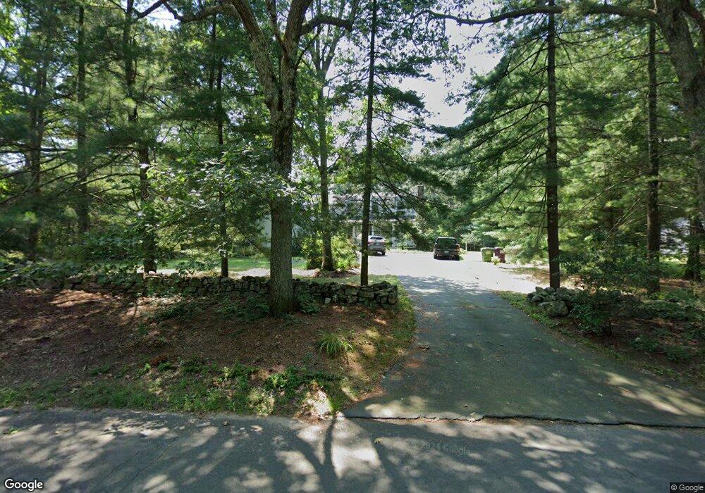
290 Saw Mill Rd Guilford, CT 06437
Estimated Value: $682,383 - $854,000
4
Beds
3
Baths
2,854
Sq Ft
$260/Sq Ft
Est. Value
About This Home
This home is located at 290 Saw Mill Rd, Guilford, CT 06437 and is currently estimated at $742,596, approximately $260 per square foot. 290 Saw Mill Rd is a home located in New Haven County with nearby schools including E.C. Adams Middle School, A. Baldwin Middle School, and Guilford High School.
Ownership History
Date
Name
Owned For
Owner Type
Purchase Details
Closed on
Mar 9, 1998
Sold by
Swett David D
Bought by
Rati Adam J and Rati Michelle M
Current Estimated Value
Purchase Details
Closed on
Jun 4, 1996
Sold by
Cooper Marthe B
Bought by
Swett David D
Create a Home Valuation Report for This Property
The Home Valuation Report is an in-depth analysis detailing your home's value as well as a comparison with similar homes in the area
Home Values in the Area
Average Home Value in this Area
Purchase History
| Date | Buyer | Sale Price | Title Company |
|---|---|---|---|
| Rati Adam J | $211,000 | -- | |
| Swett David D | $92,500 | -- | |
| Swett David D | $92,500 | -- |
Source: Public Records
Mortgage History
| Date | Status | Borrower | Loan Amount |
|---|---|---|---|
| Open | Swett David D | $100,000 | |
| Closed | Swett David D | $100,000 | |
| Open | Swett David D | $162,000 |
Source: Public Records
Tax History Compared to Growth
Tax History
| Year | Tax Paid | Tax Assessment Tax Assessment Total Assessment is a certain percentage of the fair market value that is determined by local assessors to be the total taxable value of land and additions on the property. | Land | Improvement |
|---|---|---|---|---|
| 2025 | $9,629 | $348,250 | $169,540 | $178,710 |
| 2024 | $9,256 | $348,250 | $169,540 | $178,710 |
| 2023 | $9,013 | $348,250 | $169,540 | $178,710 |
| 2022 | $7,772 | $233,730 | $126,600 | $107,130 |
| 2021 | $7,624 | $233,730 | $126,600 | $107,130 |
| 2020 | $7,552 | $233,730 | $126,600 | $107,130 |
| 2019 | $7,486 | $233,730 | $126,600 | $107,130 |
| 2018 | $7,311 | $233,730 | $126,600 | $107,130 |
| 2017 | $7,565 | $257,660 | $132,930 | $124,730 |
| 2016 | $7,387 | $257,660 | $132,930 | $124,730 |
| 2015 | $7,276 | $257,660 | $132,930 | $124,730 |
| 2014 | $7,065 | $257,660 | $132,930 | $124,730 |
Source: Public Records
Map
Nearby Homes
- 102 N Mill Cir
- 20 Copper Hill Dr Unit 20
- 9 Lantern Hill Ln
- 42 Copper Hill Dr
- 625 State St
- 274 Church St Unit 1A
- 173 Highwoods Dr
- 37 Long Hill Farm
- 28 Village Cir Unit 28
- 75 Half Mile Rd
- 7 Village Cir Unit 7
- 14 Village Cir Unit 14
- 16 Village Cir Unit 16
- 1066 Long Hill Rd
- 126 Stepstone Hill Rd
- 54 Coachlamp Ln
- 120 N Fair St Unit 2C
- 64 Dohm Ave
- 522 Peddlers Rd
- 181 Denison Dr
- 300 Saw Mill Rd
- 36 Blackfoot Ct
- 291 Saw Mill Rd
- 277 Saw Mill Rd
- 321 Saw Mill Rd
- 330 Saw Mill Rd
- 259 Saw Mill Rd
- 35 Blackfoot Ct
- 42 Blackfoot Ct
- 329 Saw Mill Rd
- 49 Blackfoot Ct
- 43 Grist Mill Cir
- 245 Saw Mill Rd
- 50 Grist Mill Cir
- 57 Blackfoot Ct
- 345 Saw Mill Rd
- 356 Saw Mill Rd
- 231 Saw Mill Rd
- 59 Grist Mill Cir
- 51 Blackfoot Ct