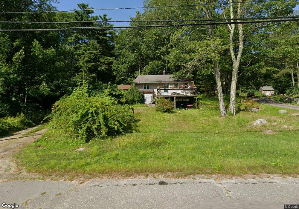
290 State Rd Phillipston, MA 01331
Estimated Value: $274,000 - $362,000
3
Beds
1
Bath
912
Sq Ft
$345/Sq Ft
Est. Value
About This Home
This home is located at 290 State Rd, Phillipston, MA 01331 and is currently estimated at $314,516, approximately $344 per square foot. 290 State Rd is a home located in Worcester County with nearby schools including Narragansett Regional High School.
Ownership History
Date
Name
Owned For
Owner Type
Purchase Details
Closed on
Sep 30, 2003
Sold by
Adams Bonnie A
Bought by
Adams Miriam T and Alden Scott W
Current Estimated Value
Home Financials for this Owner
Home Financials are based on the most recent Mortgage that was taken out on this home.
Original Mortgage
$118,750
Outstanding Balance
$55,720
Interest Rate
6.29%
Mortgage Type
Purchase Money Mortgage
Estimated Equity
$258,796
Create a Home Valuation Report for This Property
The Home Valuation Report is an in-depth analysis detailing your home's value as well as a comparison with similar homes in the area
Home Values in the Area
Average Home Value in this Area
Purchase History
| Date | Buyer | Sale Price | Title Company |
|---|---|---|---|
| Adams Miriam T | $125,000 | -- |
Source: Public Records
Mortgage History
| Date | Status | Borrower | Loan Amount |
|---|---|---|---|
| Open | Adams Miriam T | $118,750 |
Source: Public Records
Tax History
| Year | Tax Paid | Tax Assessment Tax Assessment Total Assessment is a certain percentage of the fair market value that is determined by local assessors to be the total taxable value of land and additions on the property. | Land | Improvement |
|---|---|---|---|---|
| 2025 | $2,965 | $263,100 | $50,000 | $213,100 |
| 2024 | $2,613 | $218,100 | $47,800 | $170,300 |
| 2023 | $2,639 | $205,500 | $47,800 | $157,700 |
| 2022 | $2,577 | $165,400 | $36,600 | $128,800 |
| 2021 | $2,462 | $152,800 | $36,600 | $116,200 |
| 2020 | $9,361 | $145,100 | $36,600 | $108,500 |
| 2018 | $8,768 | $123,600 | $35,400 | $88,200 |
| 2017 | $1,982 | $118,800 | $35,400 | $83,400 |
| 2016 | $1,941 | $114,900 | $35,400 | $79,500 |
| 2015 | $1,842 | $117,300 | $43,600 | $73,700 |
| 2014 | $1,911 | $117,300 | $43,600 | $73,700 |
Source: Public Records
Map
Nearby Homes
- lot 53 Secret Lake Rd
- 555 Highland Ave
- 554 Highland Ave
- 156 Vaughn Rd
- 180 Petersham Rd
- Lot-2 Petersham Rd
- 0 Miles Rd
- 2428 Main St
- 53 Lake Ellis Rd
- 321 Doe Valley Rd
- 140 Spring St
- 217 Spring St
- 121 Spring St
- 0 Spring St
- 132 Simonds St
- 420 Queen Lake Rd
- 1 Batchelder Rd
- 572 Pleasant St
- 31 Kelton St
- 86 Highland St
- 280 State Rd
- 281 State Rd
- 310 State Rd
- 260 State Rd
- 0 Athol Road Route 32 Unit 72026797
- 320 State Rd
- 250 State Rd
- 300 Highland Ave
- 325 State Rd
- 335 State Rd
- 325 Highland Ave
- 230 State Rd
- 40 Old Highland Ave
- 345 State Rd
- 20 Old Highland Ave
- 350 State Rd
- 210 State Rd
- 245 Athol Rd
- 200 State Rd
- LOT D2 Blake Corner Rd
Your Personal Tour Guide
Ask me questions while you tour the home.