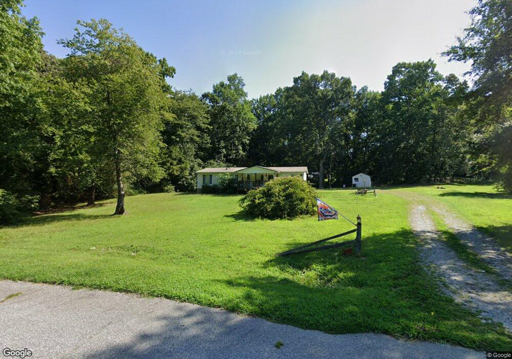
290 Tripple H Ln Lincolnton, NC 28092
Estimated Value: $167,000 - $250,000
3
Beds
2
Baths
1,485
Sq Ft
$144/Sq Ft
Est. Value
About This Home
This home is located at 290 Tripple H Ln, Lincolnton, NC 28092 and is currently estimated at $214,000, approximately $144 per square foot. 290 Tripple H Ln is a home located in Lincoln County with nearby schools including Battleground Elementary School, Lincolnton Middle School, and Lincolnton High School.
Ownership History
Date
Name
Owned For
Owner Type
Purchase Details
Closed on
Jan 16, 1997
Bought by
Baker Robert Wayne and Gail Stowe
Current Estimated Value
Purchase Details
Closed on
Aug 30, 1996
Bought by
Baker Robert Wayne and Gail Stowe
Purchase Details
Closed on
Aug 26, 1994
Bought by
Wright John H and Wright Nellie B
Purchase Details
Closed on
Jan 11, 1994
Bought by
Hallman Jerry and Hallman Willie P
Create a Home Valuation Report for This Property
The Home Valuation Report is an in-depth analysis detailing your home's value as well as a comparison with similar homes in the area
Home Values in the Area
Average Home Value in this Area
Purchase History
| Date | Buyer | Sale Price | Title Company |
|---|---|---|---|
| Baker Robert Wayne | $8,000 | -- | |
| Baker Robert Wayne | $8,000 | -- | |
| Wright John H | $8,000 | -- | |
| Hallman Jerry | $7,000 | -- |
Source: Public Records
Tax History Compared to Growth
Tax History
| Year | Tax Paid | Tax Assessment Tax Assessment Total Assessment is a certain percentage of the fair market value that is determined by local assessors to be the total taxable value of land and additions on the property. | Land | Improvement |
|---|---|---|---|---|
| 2025 | $895 | $124,932 | $27,678 | $97,254 |
| 2024 | $875 | $124,932 | $27,678 | $97,254 |
| 2023 | $851 | $124,932 | $27,678 | $97,254 |
| 2022 | $692 | $81,408 | $22,542 | $58,866 |
| 2021 | $676 | $81,408 | $22,542 | $58,866 |
| 2020 | $545 | $81,408 | $22,542 | $58,866 |
| 2019 | $545 | $81,408 | $22,542 | $58,866 |
| 2018 | $623 | $76,701 | $21,031 | $55,670 |
| 2017 | $499 | $76,701 | $21,031 | $55,670 |
| 2016 | $499 | $76,701 | $21,031 | $55,670 |
| 2015 | $575 | $76,701 | $21,031 | $55,670 |
| 2014 | $606 | $82,753 | $23,098 | $59,655 |
Source: Public Records
Map
Nearby Homes
- 980 Lakeland Ave
- Lot 72 & 73 Meandering Ln Unit 72 & 73
- 00 Meandering Ln
- 00 Sunrise Trail
- 3124 Banks St
- 2845 Wood Gate Rd
- 0 Eva Ct
- 4594 Harris Elliot Rd
- 4603 Harris Elliot Rd
- 4595 Harris Elliot Rd
- 4590 Harris Elliot Rd
- 1484 Null Rd
- 4586 Harris Elliot Rd
- 4583 Harris Elliot Rd
- 4548 Harris Elliot Rd
- 4578 Harris Elliot Rd
- 1870 Grace Ct
- 1540 Null Rd
- 772 Car Farm Rd
- 6157 Helms Ln
- 287 Tripple H Ln
- 879 Lakeland Ave
- 306 Tripple H Ln
- 2747 Summerow Rd
- 2727 Summerow Rd
- 257 Tripple H Ln
- 322 Tripple H Ln
- 329 Tripple H Ln
- 258 Tripple H Ln
- 247 Tripple H Ln
- 899 Lakeland Ave
- 899 Lakeland Ave Unit 98
- 343 Tripple H Ln
- 2772 Summerow Rd
- 225 Tripple H Ln
- 908 Lakeland Ave
- 848 Lakeland Ave
- 917 Lakeland Ave
- LOT101 Lakeland Ave
- Lot103 Lakeland Ave