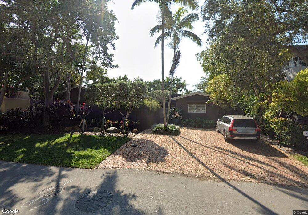
290 W Mcintyre St Key Biscayne, FL 33149
Estimated Value: $2,583,803 - $3,489,000
2
Beds
1
Bath
2,272
Sq Ft
$1,401/Sq Ft
Est. Value
About This Home
This home is located at 290 W Mcintyre St, Key Biscayne, FL 33149 and is currently estimated at $3,183,201, approximately $1,401 per square foot. 290 W Mcintyre St is a home located in Miami-Dade County with nearby schools including Key Biscayne K-8 Center, Ponce de Leon Middle School, and Coral Gables Senior High School.
Ownership History
Date
Name
Owned For
Owner Type
Purchase Details
Closed on
Aug 30, 2010
Sold by
Dearmas Oscar
Bought by
Dearmas Oscar and Lopez Blanco Vivian
Current Estimated Value
Purchase Details
Closed on
Sep 16, 1994
Sold by
Clegg Evelyn Bishop
Bought by
Dearmas Oscar and Dearmas Cristina
Home Financials for this Owner
Home Financials are based on the most recent Mortgage that was taken out on this home.
Original Mortgage
$220,000
Interest Rate
8.37%
Create a Home Valuation Report for This Property
The Home Valuation Report is an in-depth analysis detailing your home's value as well as a comparison with similar homes in the area
Home Values in the Area
Average Home Value in this Area
Purchase History
| Date | Buyer | Sale Price | Title Company |
|---|---|---|---|
| Dearmas Oscar | -- | Attorney | |
| Dearmas Oscar | $275,000 | -- |
Source: Public Records
Mortgage History
| Date | Status | Borrower | Loan Amount |
|---|---|---|---|
| Closed | Dearmas Oscar | $220,000 |
Source: Public Records
Tax History Compared to Growth
Tax History
| Year | Tax Paid | Tax Assessment Tax Assessment Total Assessment is a certain percentage of the fair market value that is determined by local assessors to be the total taxable value of land and additions on the property. | Land | Improvement |
|---|---|---|---|---|
| 2025 | $9,165 | $554,301 | -- | -- |
| 2024 | $9,041 | $538,680 | -- | -- |
| 2023 | $9,041 | $522,991 | $0 | $0 |
| 2022 | $8,592 | $507,759 | $0 | $0 |
| 2021 | $8,567 | $492,970 | $0 | $0 |
| 2020 | $7,423 | $486,164 | $0 | $0 |
| 2019 | $7,261 | $475,234 | $0 | $0 |
| 2018 | $6,880 | $466,373 | $0 | $0 |
| 2017 | $6,773 | $456,781 | $0 | $0 |
| 2016 | $6,789 | $447,386 | $0 | $0 |
| 2015 | $6,883 | $444,277 | $0 | $0 |
| 2014 | $6,990 | $440,751 | $0 | $0 |
Source: Public Records
Map
Nearby Homes
- 545 Sabal Palm Dr
- 285 W Enid Dr
- 635 Curtiswood Dr
- 315 Palmwood Ln
- 550 Harbor Dr
- 355 Redwood Ln
- 425 Harbor Dr
- 677 Hampton Ln
- 610 Harbor Cir
- 401 Warren Ln
- 691 Ridgewood Rd
- 760 Allendale Rd
- 250 Greenwood Dr
- 445 Ridgewood Rd
- 653 Glenridge Rd
- 544 Fernwood Rd Unit 544
- 548 Fernwood Rd Unit 548
- 5 Harbor Point
- 797 Ridgewood Rd
- 738 Fernwood Rd
- 280 W Mcintyre St
- 298 W Mcintyre St
- 295 W Enid Dr
- 299 W Enid Dr
- 270 W Mcintyre St
- 573 Allendale Rd
- 301 W Mcintyre St
- 275 W Enid Dr
- 275 275 W Enid Dr
- 570 Warren Ln
- 300 W Mcintyre St
- 260 W Mcintyre St
- 301 W Enid Dr
- 573 Satinwood Dr
- 560 Allendale Rd
- 265 W Enid Dr
- 605 Allendale Rd
- 560 Warren Ln
- 561 Satinwood Dr
- 610 Warren Ln