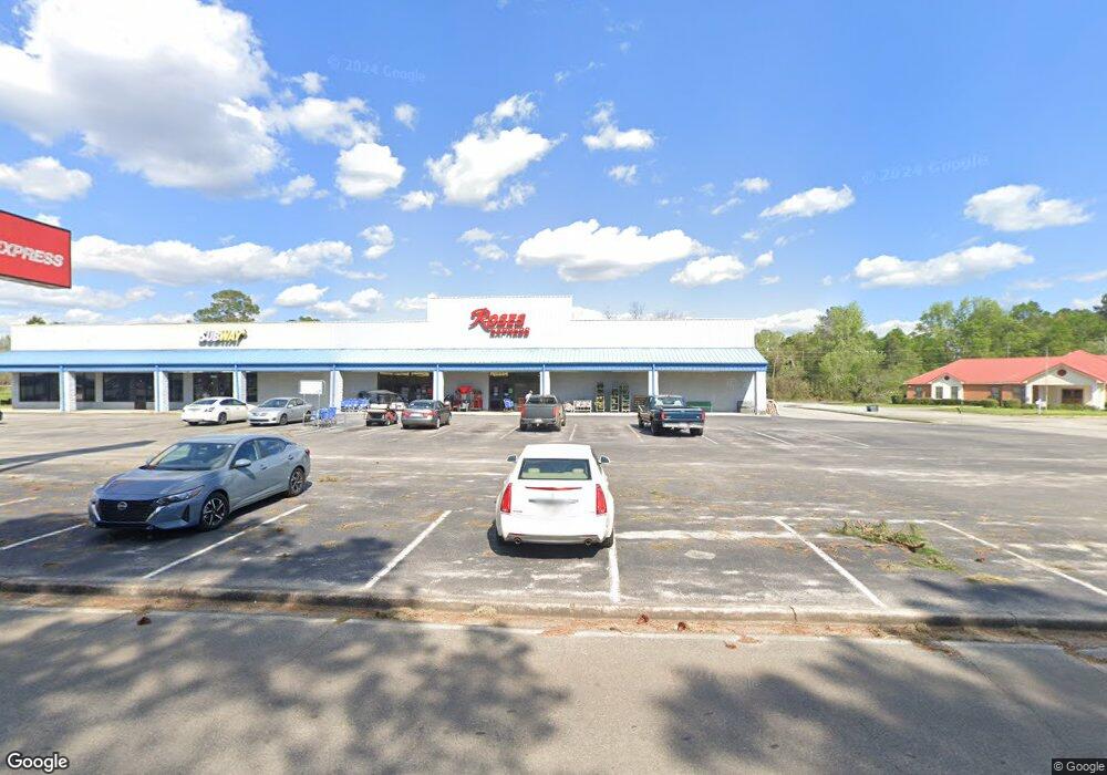
290 W Railroad St S Pelham, GA 31779
--
Bed
--
Bath
15,372
Sq Ft
1.61
Acres
About This Home
This home is located at 290 W Railroad St S, Pelham, GA 31779. 290 W Railroad St S is a home located in Mitchell County with nearby schools including Pelham Elementary School, Pelham City Middle School, and Pelham High School.
Ownership History
Date
Name
Owned For
Owner Type
Purchase Details
Closed on
Dec 9, 2022
Sold by
Bfa Llc
Bought by
International Asset Management Llc
Purchase Details
Closed on
Apr 28, 2021
Sold by
City Of Pelham Downtown Development Auth
Bought by
Bfa Llc
Home Financials for this Owner
Home Financials are based on the most recent Mortgage that was taken out on this home.
Original Mortgage
$253,650
Interest Rate
3.1%
Mortgage Type
Commercial
Purchase Details
Closed on
Apr 22, 2021
Sold by
City Of Pelham
Bought by
City Of Pelham Downtown Development Auth
Home Financials for this Owner
Home Financials are based on the most recent Mortgage that was taken out on this home.
Original Mortgage
$253,650
Interest Rate
3.1%
Mortgage Type
Commercial
Create a Home Valuation Report for This Property
The Home Valuation Report is an in-depth analysis detailing your home's value as well as a comparison with similar homes in the area
Home Values in the Area
Average Home Value in this Area
Purchase History
| Date | Buyer | Sale Price | Title Company |
|---|---|---|---|
| International Asset Management Llc | $550,000 | -- | |
| Bfa Llc | $338,200 | -- | |
| City Of Pelham Downtown Development Auth | -- | -- |
Source: Public Records
Mortgage History
| Date | Status | Borrower | Loan Amount |
|---|---|---|---|
| Previous Owner | Bfa Llc | $253,650 |
Source: Public Records
Tax History Compared to Growth
Tax History
| Year | Tax Paid | Tax Assessment Tax Assessment Total Assessment is a certain percentage of the fair market value that is determined by local assessors to be the total taxable value of land and additions on the property. | Land | Improvement |
|---|---|---|---|---|
| 2024 | $10,695 | $245,013 | $57,960 | $187,053 |
| 2023 | $10,867 | $245,013 | $57,960 | $187,053 |
| 2022 | $12,367 | $278,845 | $57,960 | $220,885 |
| 2021 | $12,607 | $278,845 | $57,960 | $220,885 |
| 2020 | $12,607 | $278,845 | $57,960 | $220,885 |
| 2019 | $54 | $278,845 | $57,960 | $220,885 |
| 2018 | $12,607 | $278,845 | $57,960 | $220,885 |
| 2017 | $5,486 | $278,845 | $57,960 | $220,885 |
| 2016 | $5,699 | $278,845 | $57,960 | $220,885 |
| 2015 | $5,699 | $278,845 | $57,960 | $220,885 |
| 2014 | $5,699 | $278,845 | $57,960 | $220,885 |
| 2013 | $5,699 | $278,845 | $57,960 | $220,885 |
Source: Public Records
Map
Nearby Homes
- 3** Youngs Mill Rd
- 135 Baggs Ave SE
- 183 Baggs Ave SE
- 209 McDonald St SW
- 199 Carroll St NE
- 212 Hand Ave W
- 375 Baggs Ave SE
- 277 Saunders St SW
- 210 Castleberry St NW
- 389 Stewart St SW
- 410 Hollis St SW
- 443 Stewart St SW
- 354 Bennett St NW
- 323 Curry St NE
- 425 Hollis St SW
- 335 Curry St NE
- 438 Dogwood Dr NE
- 233 Cannon St NW
- 482 Curry St NE
- 547 Cotton Rd NE
- 290 W Rr St
- 310 W Railroad St S
- 286 E Railroad St NE
- 316 E Railroad St NE Unit A
- 316 E Railroad St SE
- 00 Reid St
- 389 W Railroad St S
- 367 W Railroad St S
- 353 W Railroad St S
- 173 Wilkes Ave SE
- 158 Wilkes Ave SE
- 250 Horton St SE
- 166 Wilkes Ave SE
- 183 Wilkes Ave SE
- 253 Everett Alley SE
- 343 W Railroad St S
- 245 Everett Alley SE
- 178 Wilkes Ave SE
- 190 Mill St SE
- 233 W Railroad St S