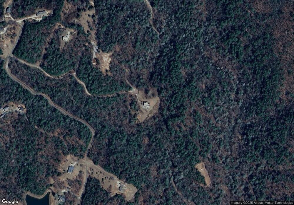
290 Wall St Ellijay, GA 30540
Estimated Value: $571,890 - $625,000
--
Bed
2
Baths
1,989
Sq Ft
$303/Sq Ft
Est. Value
About This Home
This home is located at 290 Wall St, Ellijay, GA 30540 and is currently estimated at $603,473, approximately $303 per square foot. 290 Wall St is a home located in Gilmer County with nearby schools including Ellijay Elementary School, Clear Creek Elementary School, and Clear Creek Middle School.
Ownership History
Date
Name
Owned For
Owner Type
Purchase Details
Closed on
Jan 14, 2021
Sold by
Munson Family Rev Tr
Bought by
290 Wall Street Llc
Current Estimated Value
Purchase Details
Closed on
Jun 4, 2020
Sold by
Munson Gary Eugene
Bought by
Munson Family Rev Tr
Purchase Details
Closed on
Jan 10, 2007
Sold by
Wilson Ronald D
Bought by
Munson Gary E and Munson Debbera
Purchase Details
Closed on
Nov 30, 1999
Sold by
Sluder Bro
Bought by
Wilson Ronald D
Create a Home Valuation Report for This Property
The Home Valuation Report is an in-depth analysis detailing your home's value as well as a comparison with similar homes in the area
Home Values in the Area
Average Home Value in this Area
Purchase History
| Date | Buyer | Sale Price | Title Company |
|---|---|---|---|
| 290 Wall Street Llc | -- | -- | |
| Munson Family Rev Tr | -- | -- | |
| Munson Gary E | $410,000 | -- | |
| Wilson Ronald D | $45,600 | -- |
Source: Public Records
Tax History Compared to Growth
Tax History
| Year | Tax Paid | Tax Assessment Tax Assessment Total Assessment is a certain percentage of the fair market value that is determined by local assessors to be the total taxable value of land and additions on the property. | Land | Improvement |
|---|---|---|---|---|
| 2025 | $3,037 | $196,400 | $32,520 | $163,880 |
| 2024 | $3,037 | $196,040 | $33,800 | $162,240 |
| 2023 | $2,854 | $178,440 | $16,200 | $162,240 |
| 2022 | $2,640 | $150,000 | $16,200 | $133,800 |
| 2021 | $2,370 | $119,440 | $16,200 | $103,240 |
| 2020 | $2,502 | $113,760 | $21,640 | $92,120 |
| 2019 | $2,679 | $118,280 | $28,720 | $89,560 |
| 2018 | $2,820 | $122,920 | $33,360 | $89,560 |
| 2017 | $3,166 | $128,680 | $33,360 | $95,320 |
| 2016 | $3,285 | $130,880 | $33,360 | $97,520 |
| 2015 | $2,535 | $102,840 | $31,560 | $71,280 |
| 2014 | $2,617 | $102,120 | $31,560 | $70,560 |
| 2013 | -- | $101,240 | $31,560 | $69,680 |
Source: Public Records
Map
Nearby Homes
- 139 Wall St
- 0 Hatley Creek Rd Unit 10623570
- Lot 2 Laurel Overlook Rd
- 2046 Amy Creek Cir Unit 34
- 2046 Amy Creek Cir
- 3691 Flagpole Rd
- 76 Creekside Rd
- 17 Amy Creek Cir
- 685 Chopped Oak Rd Unit 168
- 685 Chopped Oak Rd
- LOT 20 Big Ben Rd
- LOT 20 Big Ben Rd Unit 20
- 17B Amy Creek Cir
- 191 Mountain View Rd
- 515 Amy Creek Cir
- 372 Mountain View Rd
- 641 Bryant Farm Ln
- 0 Bryant Farm Ln Unit 10489816
- 6496 Boardtown Rd
- 00 Double Knob Rd
- 0 Shelby Way
- 1620 Chopped Oak Rd
- 25 Shelby Way
- 63 Wall St
- 257 Amy Creek Rd
- 257 Amy Creek Rd
- 1539 Chopped Oak Rd
- 2018 Chopped Oak Rd
- 212 Shelby Way
- 0 Chopped Oak Rd Unit 8102641
- 0 Chopped Oak Rd Unit 5777333
- 0 Chopped Oak Rd Unit 134032
- 0 Chopped Oak-5 53 Ac
- 0 Chopped Oak Rd Unit 20138185
- 0 Chopped Oak Rd Unit 20083745
- 0 Chopped Oak Rd Unit 3204289
- 1504 Chopped Oak Rd
- 2037 Chopped Oak Rd
- 2030 Chopped Oak Rd
- 125 Cook Dr
