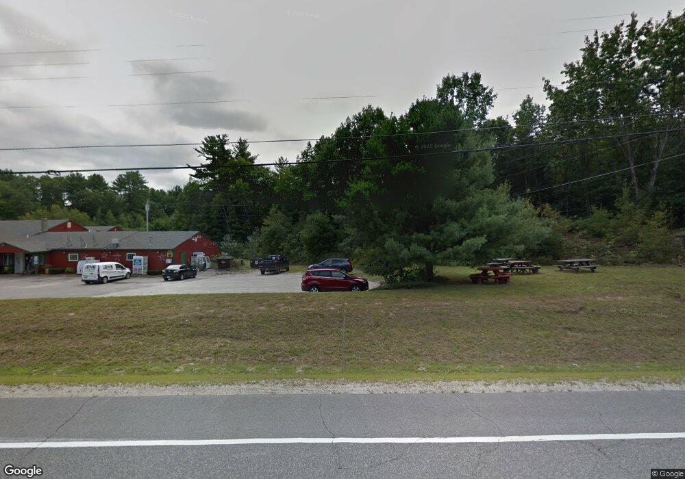
290 Weare Rd Henniker, NH 03242
Estimated Value: $359,000 - $413,389
3
Beds
1
Bath
1,430
Sq Ft
$275/Sq Ft
Est. Value
About This Home
This home is located at 290 Weare Rd, Henniker, NH 03242 and is currently estimated at $392,796, approximately $274 per square foot. 290 Weare Rd is a home with nearby schools including Henniker Community School and John Stark Regional High School.
Create a Home Valuation Report for This Property
The Home Valuation Report is an in-depth analysis detailing your home's value as well as a comparison with similar homes in the area
Home Values in the Area
Average Home Value in this Area
Tax History Compared to Growth
Tax History
| Year | Tax Paid | Tax Assessment Tax Assessment Total Assessment is a certain percentage of the fair market value that is determined by local assessors to be the total taxable value of land and additions on the property. | Land | Improvement |
|---|---|---|---|---|
| 2024 | $7,297 | $305,300 | $129,800 | $175,500 |
| 2023 | $6,826 | $305,000 | $129,800 | $175,200 |
| 2022 | $6,539 | $305,000 | $129,800 | $175,200 |
| 2021 | $6,955 | $213,600 | $94,100 | $119,500 |
| 2020 | $6,673 | $213,600 | $94,100 | $119,500 |
| 2019 | $6,276 | $177,600 | $99,100 | $78,500 |
| 2018 | $5,983 | $177,600 | $99,100 | $78,500 |
| 2017 | $6,028 | $177,600 | $99,100 | $78,500 |
| 2016 | $5,919 | $177,600 | $99,100 | $78,500 |
| 2015 | $5,589 | $177,600 | $99,100 | $78,500 |
| 2014 | $5,341 | $174,100 | $102,200 | $71,900 |
Source: Public Records
Map
Nearby Homes
- 540-X9-A Route 114
- 540-X9B Route 114
- 2 Hope Rd
- 302 Flanders Rd
- 173 Patterson Hill Rd
- 388 Western Ave Unit E1
- 0 Old Concord Rd Unit 551-A 5014211
- 231 Patterson Hill Rd
- 143 Tanglewood Dr
- 7-351-B Patterson Hill Rd
- 586 C-4 Craney Hill Rd
- 85 Checkerberry Ln
- 11 White Birch Rd
- 430 Highland Dr
- 463 Craney Hill Rd
- 149 Bear Hill Rd
- 105 Clement Hill Rd
- 0 Kings Row Unit 151 4855040
- 98 Emerald Dr
- 0 Bobolink Ln Unit 120 4858469