2900 Kaibab Ave Bakersfield, CA 93306
College Heights NeighborhoodEstimated Value: $343,000 - $364,503
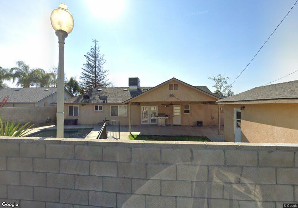
About This Home
This home is located at 2900 Kaibab Ave, Bakersfield, CA 93306 and is currently estimated at $351,376, approximately $250 per square foot. 2900 Kaibab Ave is a home located in Kern County with nearby schools including Colonel Howard Nichols Elementary School, Chipman Junior High School, and East Bakersfield High School.
Ownership History
We collect this data history from publicly available records. To have your information removed, we recommend requesting removal directly through your county’s website.
Purchase Details
Home Financials for this Owner
Home Financials are based on the most recent Mortgage that was taken out on this home.Home Values in the Area
Average Home Value in this Area
Purchase History
We collect this data history from publicly available records. To have your information removed, we recommend requesting removal directly through your county’s website.
| Date | Buyer | Sale Price | Title Company |
|---|---|---|---|
| -- | First American Title |
Mortgage History
We collect this data history from publicly available records. To have your information removed, we recommend requesting removal directly through your county’s website.
| Date | Status | Borrower | Loan Amount |
|---|---|---|---|
| Closed | $125,000 |
Tax History
We collect this data history from publicly available records. To have your information removed, we recommend requesting removal directly through your county’s website.
| Year | Tax Paid | Tax Assessment Tax Assessment Total Assessment is a certain percentage of the fair market value that is determined by local assessors to be the total taxable value of land and additions on the property. | Land | Improvement |
|---|---|---|---|---|
| 2025 | $2,916 | $191,444 | $65,165 | $126,279 |
| 2024 | $2,854 | $187,692 | $63,888 | $123,804 |
| 2023 | $2,854 | $184,014 | $62,636 | $121,378 |
| 2022 | $2,788 | $180,407 | $61,408 | $118,999 |
| 2021 | $2,675 | $176,870 | $60,204 | $116,666 |
| 2020 | $2,638 | $175,058 | $59,587 | $115,471 |
| 2019 | $2,586 | $175,058 | $59,587 | $115,471 |
| 2018 | $2,527 | $168,262 | $57,274 | $110,988 |
| 2017 | $2,513 | $164,964 | $56,151 | $108,813 |
| 2016 | $2,304 | $161,730 | $55,050 | $106,680 |
| 2015 | $2,291 | $159,303 | $54,224 | $105,079 |
| 2014 | $2,139 | $156,184 | $53,162 | $103,022 |
Map
- 2800 Blade Ave
- 3305 Dwight St
- 2706 Kaibab Ave
- 3612 Eton St
- 2613 Cardinal Ave
- 2622 Century Dr
- 3516 Dana St Unit 3
- 2506 Driller Ave
- 3206 Candlewood Dr
- 2400 Renegade Ave
- 3109 Mount Vernon Ave
- 3412 Century Dr
- 3606 Kaibab Ave
- 3516 Cardinal Ave
- 4201 Boise St
- 3218 Christmas Tree Ln
- 3209 Idaho St
- 3521 Candlewood Dr
- 3516 Harmony Dr
- 3013 Saint Marys St
- 2907 Kaibab Ave
- 2813 Kaibab Ave
- 2900 Blade Ave
- 2818 Blade Ave
- 2913 Kaibab Ave
- 2807 Kaibab Ave
- 2906 Kaibab Ave
- 2912 Blade Ave
- 2812 Blade Ave
- 2812 Kaibab Ave
- 2912 Kaibab Ave
- 2919 Kaibab Ave
- 2801 Kaibab Ave
- 2918 Blade Ave
- 2806 Kaibab Ave
- 2918 Kaibab Ave
- 2806 Blade Ave
- 2901 Blade Ave
- 2907 Blade Ave
- 2819 Blade Ave
Ask me questions while you tour the home.