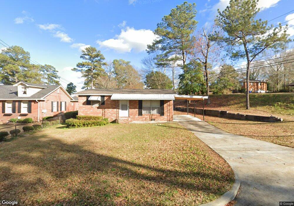
2900 Lansing Ave Columbus, GA 31907
East Columbus NeighborhoodEstimated Value: $75,910 - $121,000
2
Beds
2
Baths
800
Sq Ft
$122/Sq Ft
Est. Value
About This Home
This home is located at 2900 Lansing Ave, Columbus, GA 31907 and is currently estimated at $97,728, approximately $122 per square foot. 2900 Lansing Ave is a home located in Muscogee County with nearby schools including Forrest Road Elementary School, Fort Middle School, and Kendrick High School.
Ownership History
Date
Name
Owned For
Owner Type
Purchase Details
Closed on
Aug 9, 2013
Sold by
Valentini Richard D
Bought by
Goodwin Joseph H and Goodwin Lisa D
Current Estimated Value
Purchase Details
Closed on
Jan 29, 2010
Sold by
Fannie Mae
Bought by
Valentini Richard D
Purchase Details
Closed on
Nov 3, 2009
Sold by
Phh Mortgage Corporation
Bought by
Federal National Mortgage Association
Create a Home Valuation Report for This Property
The Home Valuation Report is an in-depth analysis detailing your home's value as well as a comparison with similar homes in the area
Home Values in the Area
Average Home Value in this Area
Purchase History
| Date | Buyer | Sale Price | Title Company |
|---|---|---|---|
| Goodwin Joseph H | $30,000 | -- | |
| Valentini Richard D | -- | None Available | |
| Federal National Mortgage Association | -- | None Available | |
| Phh Mortgage Corporation | $52,416 | None Available |
Source: Public Records
Tax History
| Year | Tax Paid | Tax Assessment Tax Assessment Total Assessment is a certain percentage of the fair market value that is determined by local assessors to be the total taxable value of land and additions on the property. | Land | Improvement |
|---|---|---|---|---|
| 2025 | $1,177 | $30,080 | $7,772 | $22,308 |
| 2024 | $1,177 | $30,080 | $7,772 | $22,308 |
| 2023 | $1,185 | $30,080 | $7,772 | $22,308 |
| 2022 | $1,048 | $25,672 | $7,772 | $17,900 |
| 2021 | $923 | $22,616 | $7,772 | $14,844 |
| 2020 | $924 | $22,616 | $7,772 | $14,844 |
| 2019 | $927 | $22,616 | $7,772 | $14,844 |
| 2018 | $927 | $22,616 | $7,772 | $14,844 |
| 2017 | $930 | $22,616 | $7,772 | $14,844 |
| 2016 | $495 | $12,000 | $1,744 | $10,256 |
| 2015 | $198 | $12,000 | $1,744 | $10,256 |
| 2014 | $198 | $12,000 | $1,744 | $10,256 |
| 2013 | -- | $19,966 | $2,902 | $17,064 |
Source: Public Records
Map
Nearby Homes
- 2924 Gleason Ave
- 6000 Caribou Dr
- 6059 Nassau Cir
- 5923 Nassau Cir
- 2946 Gleason Ave
- 2939 Gleason Ave
- 2807 Doyle Ave
- 2672 Honeysuckle Dr
- 2525 Corineth Dr
- 3301 Musket Dr
- 3120 Urban Ave
- 6311 Morning Dew Dr
- 6303 Morning Dew Dr
- 6307 Morning Dew Dr
- 6302 Morning Dew Dr
- 2513 Lacey Oak Ct
- 6362 Lemongrass Dr
- 6366 Lemongrass Dr
- 6370 Lemongrass Dr
- 2500 Water Oak Dr
- 2906 Lansing Ave
- 2912 Lansing Ave
- 5851 Forrest Rd
- 2920 Lansing Ave
- 5914 Forrest Rd
- 2905 Lansing Ave
- 2911 Lansing Ave
- 2926 Lansing Ave
- 6019 Caribou Dr
- 5924 Forrest Rd
- 5843 Forrest Rd
- 2919 Lansing Ave
- 6015 Caribou Dr
- 5846 Forrest Rd
- 6011 Caribou Dr
- 2932 Lansing Ave
- 6085 Nassau Cir
- 2925 Lansing Ave
- 6077 Nassau Cir
- 2739 Corineth Dr
Your Personal Tour Guide
Ask me questions while you tour the home.