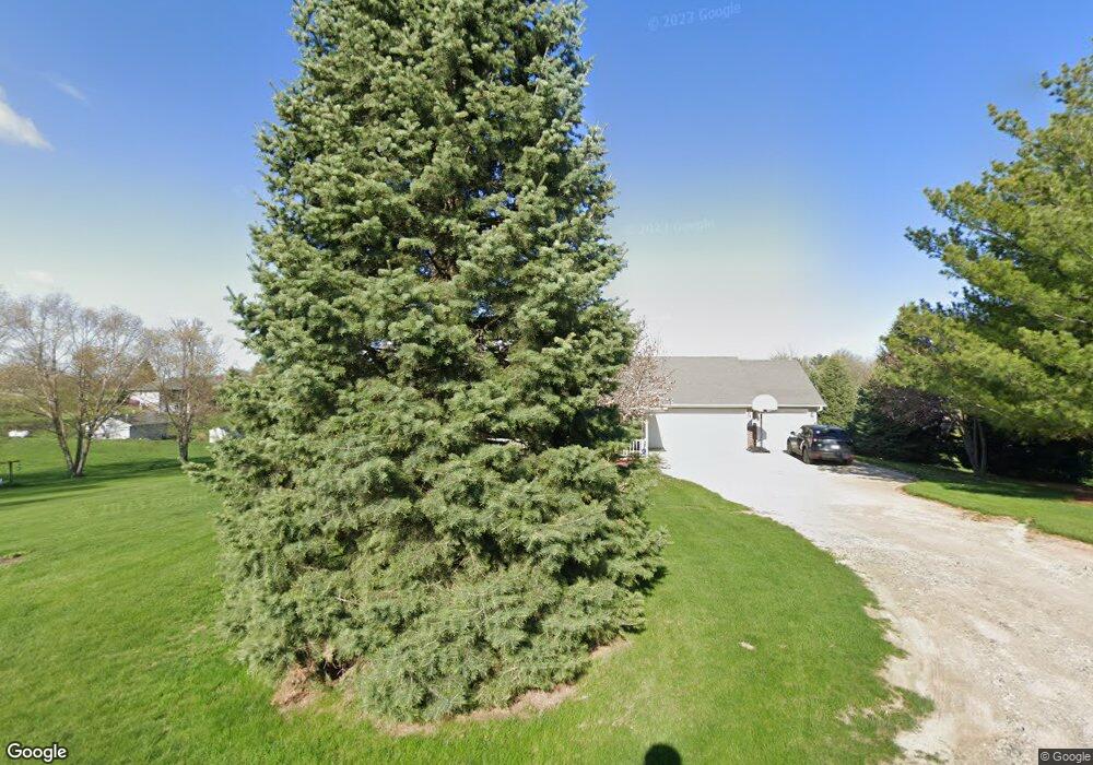
2900 S 12th Ave W Unit 1 Newton, IA 50208
Estimated Value: $402,000 - $494,000
5
Beds
7
Baths
1,935
Sq Ft
$238/Sq Ft
Est. Value
About This Home
This home is located at 2900 S 12th Ave W Unit 1, Newton, IA 50208 and is currently estimated at $460,137, approximately $237 per square foot. 2900 S 12th Ave W Unit 1 is a home located in Jasper County with nearby schools including Thomas Jefferson Elementary School, Woodrow Wilson Elementary School, and Berg Middle School.
Ownership History
Date
Name
Owned For
Owner Type
Purchase Details
Closed on
May 9, 2014
Sold by
Davidson Linnea A
Bought by
Brock Billy J and Brock Diane E
Current Estimated Value
Home Financials for this Owner
Home Financials are based on the most recent Mortgage that was taken out on this home.
Original Mortgage
$275,793
Outstanding Balance
$210,814
Interest Rate
4.41%
Mortgage Type
FHA
Estimated Equity
$249,323
Purchase Details
Closed on
Aug 22, 2005
Sold by
Interstate Power And Light Co
Bought by
Davidson Linnea A
Home Financials for this Owner
Home Financials are based on the most recent Mortgage that was taken out on this home.
Original Mortgage
$208,000
Interest Rate
5.8%
Mortgage Type
New Conventional
Purchase Details
Closed on
May 31, 2005
Sold by
Zero Net Llc
Bought by
Interstate Power And Light Co
Create a Home Valuation Report for This Property
The Home Valuation Report is an in-depth analysis detailing your home's value as well as a comparison with similar homes in the area
Home Values in the Area
Average Home Value in this Area
Purchase History
| Date | Buyer | Sale Price | Title Company |
|---|---|---|---|
| Brock Billy J | $294,000 | And Title Co | |
| Davidson Linnea A | $260,000 | None Available | |
| Interstate Power And Light Co | $200,000 | None Available |
Source: Public Records
Mortgage History
| Date | Status | Borrower | Loan Amount |
|---|---|---|---|
| Open | Brock Billy J | $275,793 | |
| Previous Owner | Davidson Linnea A | $208,000 |
Source: Public Records
Tax History Compared to Growth
Tax History
| Year | Tax Paid | Tax Assessment Tax Assessment Total Assessment is a certain percentage of the fair market value that is determined by local assessors to be the total taxable value of land and additions on the property. | Land | Improvement |
|---|---|---|---|---|
| 2025 | $5,898 | $567,720 | $64,900 | $502,820 |
| 2024 | $5,898 | $453,160 | $45,920 | $407,240 |
| 2023 | $5,716 | $453,160 | $45,920 | $407,240 |
| 2022 | $5,258 | $381,280 | $45,920 | $335,360 |
| 2021 | $5,194 | $355,320 | $45,920 | $309,400 |
| 2020 | $5,194 | $333,100 | $49,200 | $283,900 |
| 2019 | $4,760 | $293,750 | $0 | $0 |
| 2018 | $4,760 | $293,750 | $0 | $0 |
| 2017 | $4,766 | $293,750 | $0 | $0 |
| 2016 | $4,766 | $293,750 | $0 | $0 |
| 2015 | $4,648 | $281,290 | $0 | $0 |
| 2014 | $4,358 | $0 | $0 | $0 |
Source: Public Records
Map
Nearby Homes
- 1149 W 28th St S
- TBD W 28th St S
- 860 W 28th St S
- 913 W 18th St S
- 1506 W 17th St S
- 299 Hickory St
- 1503 S 16th Ave W
- 124 Emerson Hough Dr
- 1321 W 13th St S
- 1206 S 14th Ave W
- 2125 W 15th St S
- 1207 S 16th Ave W
- 1121 Woodland Dr
- 237 W 12th St S
- 1202 S 20th Ave W
- 8 Chancery Ct
- 606 W 16th St N
- 1116 1st Ave W
- 1030 W 9th St S
- 815 S 5th Ave W
- 2900 S 12th Ave W Unit 2
- 2900 S 12th Ave W Unit 3
- 2900 S 12th Ave W Unit 4
- 2900 S 12th Ave W Unit 5
- 2900 S 12th Ave W
- 2900 S 12th Ave W
- 1021 W 28th St S Unit A
- 1021 W 28th St S
- 3226 Harbor Ave
- 3318 Harbor Ave
- 3118 Harbor Ave
- 1084 W 28th St S
- 1124 W 28th St S
- 873 W 28th St S
- Lot 2 W 28th St S
- Lot 1 W 28th St S
- 978 W 28th St S
- 1172 W 28th St S
- 3368 Harbor Ave
- 3185 Harbor Ave