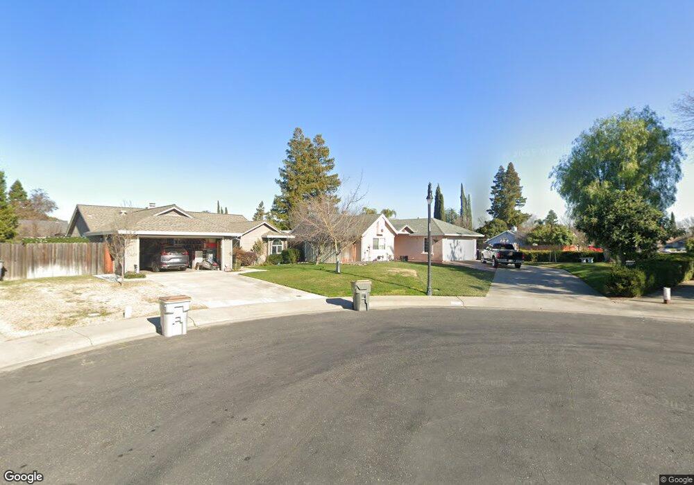
2901 Colleen Ct West Sacramento, CA 95691
Southport NeighborhoodEstimated Value: $452,000 - $518,000
3
Beds
2
Baths
1,148
Sq Ft
$416/Sq Ft
Est. Value
About This Home
This home is located at 2901 Colleen Ct, West Sacramento, CA 95691 and is currently estimated at $477,578, approximately $416 per square foot. 2901 Colleen Ct is a home located in Yolo County with nearby schools including Southport Elementary School, River City High, and Our Lady Of Grace.
Ownership History
Date
Name
Owned For
Owner Type
Purchase Details
Closed on
Feb 25, 1997
Sold by
Va
Bought by
Franco Luis and Rodriguez Carmen
Current Estimated Value
Home Financials for this Owner
Home Financials are based on the most recent Mortgage that was taken out on this home.
Original Mortgage
$99,000
Outstanding Balance
$12,133
Interest Rate
7.86%
Estimated Equity
$465,445
Create a Home Valuation Report for This Property
The Home Valuation Report is an in-depth analysis detailing your home's value as well as a comparison with similar homes in the area
Home Values in the Area
Average Home Value in this Area
Purchase History
| Date | Buyer | Sale Price | Title Company |
|---|---|---|---|
| Franco Luis | $110,000 | -- |
Source: Public Records
Mortgage History
| Date | Status | Borrower | Loan Amount |
|---|---|---|---|
| Open | Franco Luis | $99,000 |
Source: Public Records
Tax History Compared to Growth
Tax History
| Year | Tax Paid | Tax Assessment Tax Assessment Total Assessment is a certain percentage of the fair market value that is determined by local assessors to be the total taxable value of land and additions on the property. | Land | Improvement |
|---|---|---|---|---|
| 2025 | $2,336 | $179,126 | $48,844 | $130,282 |
| 2023 | $2,336 | $172,173 | $46,949 | $125,224 |
| 2022 | $2,184 | $168,798 | $46,029 | $122,769 |
| 2021 | $2,162 | $165,489 | $45,127 | $120,362 |
| 2020 | $2,066 | $163,793 | $44,665 | $119,128 |
| 2019 | $2,039 | $160,583 | $43,790 | $116,793 |
| 2018 | $2,000 | $157,435 | $42,932 | $114,503 |
| 2017 | $1,977 | $154,349 | $42,091 | $112,258 |
| 2016 | $1,948 | $151,323 | $41,266 | $110,057 |
| 2015 | $1,725 | $149,051 | $40,647 | $108,404 |
| 2014 | $1,725 | $146,132 | $39,851 | $106,281 |
Source: Public Records
Map
Nearby Homes
- 2893 Mergansers Ct
- 3016 Canvasback Way
- 2857 Kimberly Ct
- 2972 Violet Dr
- 2669 Tyler Way
- 2586 Duet Dr
- 2586 Lagoon Ln
- 2556 Duet Dr
- 2893 Pitzer Cir
- 2726 Paradise Way
- 32508 Jefferson Blvd
- 2616 Independence Ave
- 2617 Independence Ave
- 2961 Anacapa Island Ct
- 3235 Santa Cruz Rd
- 3175 Jefferson Blvd
- 3270 Rivermont St
- 2975 Jefferson Blvd
- 3354 Jefferson Blvd
- 3147 Grizzly Bay Rd
- 2913 Colleen Ct
- 2798 Betty Way
- 2921 Colleen Ct
- 2792 Betty Way
- 2902 Colleen Ct
- 2897 Mergansers Ct
- 2929 Colleen Ct
- 2922 Colleen Ct
- 2782 Betty Way
- 2898 Higgins Rd
- 2930 Colleen Ct
- 2898 Mergansers Ct
- 2807 Teresa Dr
- 2937 Colleen Ct
- 2890 Higgins Rd
- 2901 Diane Dr
- 2938 Colleen Ct
- 2799 Betty Way
- 2791 Betty Way
- 2887 Mergansers Ct