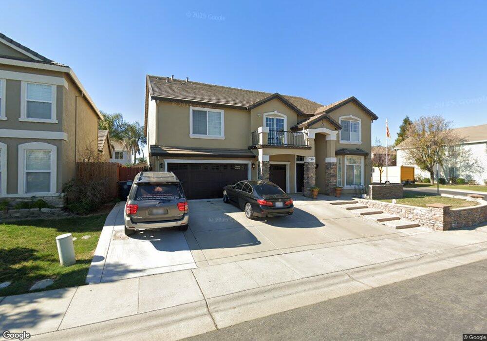
2901 Muttonbird Way Sacramento, CA 95834
Gateway West NeighborhoodEstimated Value: $697,000 - $883,000
5
Beds
4
Baths
4,245
Sq Ft
$192/Sq Ft
Est. Value
About This Home
This home is located at 2901 Muttonbird Way, Sacramento, CA 95834 and is currently estimated at $815,074, approximately $192 per square foot. 2901 Muttonbird Way is a home located in Sacramento County with nearby schools including Witter Ranch Elementary School, Natomas Middle School, and Inderkum High School.
Ownership History
Date
Name
Owned For
Owner Type
Purchase Details
Closed on
Apr 6, 2004
Sold by
Parkview Lp
Bought by
Singh Santa D and Singh Prem K
Current Estimated Value
Home Financials for this Owner
Home Financials are based on the most recent Mortgage that was taken out on this home.
Original Mortgage
$306,890
Outstanding Balance
$128,777
Interest Rate
4.12%
Mortgage Type
Purchase Money Mortgage
Estimated Equity
$686,297
Create a Home Valuation Report for This Property
The Home Valuation Report is an in-depth analysis detailing your home's value as well as a comparison with similar homes in the area
Home Values in the Area
Average Home Value in this Area
Purchase History
| Date | Buyer | Sale Price | Title Company |
|---|---|---|---|
| Singh Santa D | $458,000 | Placer Title Company |
Source: Public Records
Mortgage History
| Date | Status | Borrower | Loan Amount |
|---|---|---|---|
| Open | Singh Santa D | $306,890 |
Source: Public Records
Tax History Compared to Growth
Tax History
| Year | Tax Paid | Tax Assessment Tax Assessment Total Assessment is a certain percentage of the fair market value that is determined by local assessors to be the total taxable value of land and additions on the property. | Land | Improvement |
|---|---|---|---|---|
| 2025 | $8,871 | $650,860 | $106,623 | $544,237 |
| 2024 | $8,871 | $638,099 | $104,533 | $533,566 |
| 2023 | $8,395 | $625,588 | $102,484 | $523,104 |
| 2022 | $8,218 | $613,323 | $100,475 | $512,848 |
| 2021 | $8,255 | $601,298 | $98,505 | $502,793 |
| 2020 | $7,611 | $542,822 | $88,925 | $453,897 |
| 2019 | $7,367 | $521,945 | $85,505 | $436,440 |
| 2018 | $7,042 | $506,744 | $83,015 | $423,729 |
| 2017 | $6,747 | $487,255 | $79,823 | $407,432 |
| 2016 | $6,314 | $451,163 | $73,911 | $377,252 |
| 2015 | $5,971 | $429,680 | $70,392 | $359,288 |
| 2014 | $5,514 | $409,219 | $67,040 | $342,179 |
Source: Public Records
Map
Nearby Homes
- 324 Dragonfly Cir
- 200 Dragonfly Cir
- 3080 Palmate Way
- 3068 Sparrow Dr
- 3142 Buchman St
- 2814 Karitsa Ave
- 3139 Torland St
- 3150 Spoonwood Way
- 6 Delta Tule Ct
- 3044 Spoonwood Way
- 3028 Spoonwood Way
- 23 Delta Tule Ct
- 3624 E Commerce Way
- 3241 Tice Creek Way
- 3735 Amelia Rose Way
- 3809 Amelia Rose Way
- 2466 Buzz Aldrin Way
- 2510 Natomas Crossing Dr
- 2516 John Glenn Way
- 160 Cakebread Cir
- 2907 Muttonbird Way
- 101 Orcutt Cir
- 2895 Screech Owl Way
- 111 Orcutt Cir
- 2915 Muttonbird Way
- 2900 Muttonbird Way
- 2908 Muttonbird Way
- 121 Orcutt Cir
- 2901 Myotis Dr
- 2889 Screech Owl Way
- 2921 Muttonbird Way
- 2894 Screech Owl Way
- 2916 Muttonbird Way
- 131 Orcutt Cir
- 2888 Screech Owl Way
- 2920 Muttonbird Way
- 2915 Myotis Dr
- 2925 Muttonbird Way
- 2805 Frigate Bird Dr
- 2811 Frigate Bird Dr