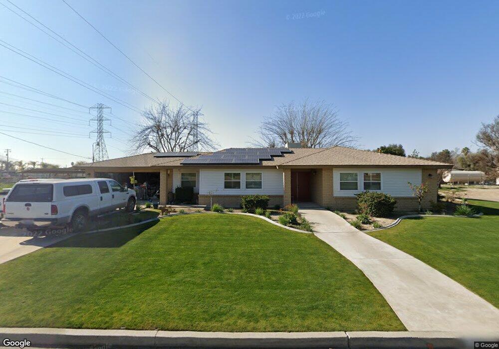
2901 Ramada St Bakersfield, CA 93312
Estimated Value: $408,532 - $443,000
3
Beds
2
Baths
1,560
Sq Ft
$275/Sq Ft
Est. Value
About This Home
This home is located at 2901 Ramada St, Bakersfield, CA 93312 and is currently estimated at $429,633, approximately $275 per square foot. 2901 Ramada St is a home located in Kern County with nearby schools including Independence Elementary School, Freedom Middle School, and Liberty High School.
Ownership History
Date
Name
Owned For
Owner Type
Purchase Details
Closed on
Jan 8, 2001
Sold by
Walburn James H and Walburn Patsy M
Bought by
Payton Jack A and Payton Joan M
Current Estimated Value
Home Financials for this Owner
Home Financials are based on the most recent Mortgage that was taken out on this home.
Original Mortgage
$133,200
Outstanding Balance
$47,504
Interest Rate
7.08%
Estimated Equity
$382,129
Create a Home Valuation Report for This Property
The Home Valuation Report is an in-depth analysis detailing your home's value as well as a comparison with similar homes in the area
Home Values in the Area
Average Home Value in this Area
Purchase History
| Date | Buyer | Sale Price | Title Company |
|---|---|---|---|
| Payton Jack A | $148,000 | -- |
Source: Public Records
Mortgage History
| Date | Status | Borrower | Loan Amount |
|---|---|---|---|
| Open | Payton Jack A | $133,200 |
Source: Public Records
Tax History Compared to Growth
Tax History
| Year | Tax Paid | Tax Assessment Tax Assessment Total Assessment is a certain percentage of the fair market value that is determined by local assessors to be the total taxable value of land and additions on the property. | Land | Improvement |
|---|---|---|---|---|
| 2025 | $3,037 | $222,990 | $67,796 | $155,194 |
| 2024 | $2,952 | $218,618 | $66,467 | $152,151 |
| 2023 | $2,952 | $214,332 | $65,164 | $149,168 |
| 2022 | $2,867 | $210,131 | $63,887 | $146,244 |
| 2021 | $2,752 | $206,012 | $62,635 | $143,377 |
| 2020 | $2,680 | $203,900 | $61,993 | $141,907 |
| 2019 | $2,623 | $203,900 | $61,993 | $141,907 |
| 2018 | $2,547 | $195,985 | $59,587 | $136,398 |
| 2017 | $2,496 | $192,143 | $58,419 | $133,724 |
| 2016 | $2,348 | $188,376 | $57,274 | $131,102 |
| 2015 | $2,307 | $185,547 | $56,414 | $129,133 |
| 2014 | $2,252 | $181,913 | $55,309 | $126,604 |
Source: Public Records
Map
Nearby Homes
- 3000 Allen Rd
- 12421 Winn Ave
- 12912 Tyler Ct
- 2710 Maher Way
- 13013 Tyler Ct
- 2612 Van Buren Place
- 13303 Ascot Ct
- 13214 Giro Dr
- 11908 Nebula Ct
- 2112 Branch Creek St
- 11910 Compass Ave
- 13507 Velma Pearl Way
- 13019 Queen Palm Ct
- 2639 Jenkins Rd
- 13300 Coco Palm Ct
- 13754 Rosedale Hwy
- 13615 Velma Pearl Way
- 13601 Philip Phelps Ave
- 13602 Philip Phelps Ave
- 13417 Hinault Dr Unit 1
- 12711 Winn Ave
- 12710 Winn Ave
- 12701 Winn Ave
- 12700 Winn Ave
- 3020 Allen Rd
- 3040 Allen Rd
- 12621 Winn Ave
- 12620 Winn Ave
- 3100 Allen Rd
- 12725 Allen Ln
- 12611 Winn Ave
- 12610 Winn Ave
- 12800 Jasmine Ave
- 12810 Jasmine Ave
- 12710 Jasmine Ave
- 12820 Jasmine Ave
- 12601 Winn Ave
- 12700 Jasmine Ave
- 12600 Winn Ave
- 12830 Jasmine Ave