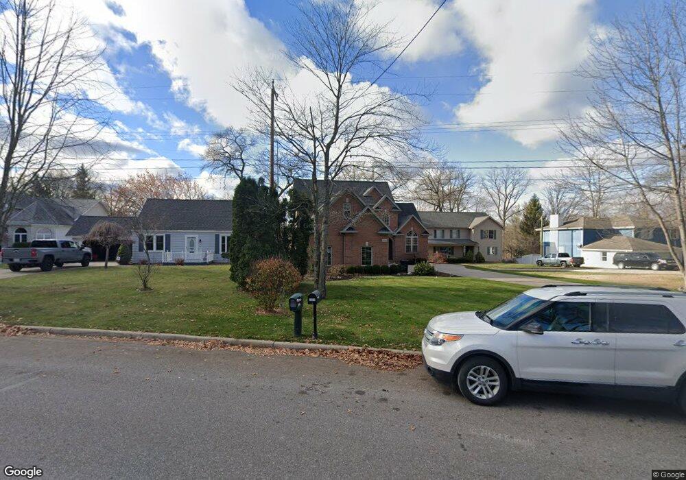
2901 Riverside Dr Port Huron, MI 48060
Estimated Value: $595,000 - $820,643
4
Beds
4
Baths
3,200
Sq Ft
$230/Sq Ft
Est. Value
About This Home
This home is located at 2901 Riverside Dr, Port Huron, MI 48060 and is currently estimated at $736,161, approximately $230 per square foot. 2901 Riverside Dr is a home located in St. Clair County with nearby schools including H.D. Crull Elementary School, Holland Woods Middle School, and Port Huron Northern High School.
Ownership History
Date
Name
Owned For
Owner Type
Purchase Details
Closed on
Apr 29, 2025
Sold by
Layman John C and Layman Susan A
Bought by
John C Layman And Susan A Layman Revocable Tr and Layman
Current Estimated Value
Purchase Details
Closed on
Apr 4, 2025
Sold by
Joseph Bauer Jr And Renee Bauer Joint Tr and Bauer Joseph
Bought by
Layman Susan and Layman John
Purchase Details
Closed on
Sep 23, 2024
Sold by
Whittaker Craig A and Collins-Whittaker Laura
Bought by
Joseph Bauer Jr And Renee Bauer Joint Trust
Create a Home Valuation Report for This Property
The Home Valuation Report is an in-depth analysis detailing your home's value as well as a comparison with similar homes in the area
Home Values in the Area
Average Home Value in this Area
Purchase History
| Date | Buyer | Sale Price | Title Company |
|---|---|---|---|
| John C Layman And Susan A Layman Revocable Tr | -- | None Listed On Document | |
| John C Layman And Susan A Layman Revocable Tr | -- | None Listed On Document | |
| Layman Susan | $800,000 | Liberty Title | |
| Layman Susan | $800,000 | Liberty Title | |
| Joseph Bauer Jr And Renee Bauer Joint Trust | -- | Ata National Title |
Source: Public Records
Tax History Compared to Growth
Tax History
| Year | Tax Paid | Tax Assessment Tax Assessment Total Assessment is a certain percentage of the fair market value that is determined by local assessors to be the total taxable value of land and additions on the property. | Land | Improvement |
|---|---|---|---|---|
| 2025 | $7,647 | $334,800 | $0 | $0 |
| 2024 | $6,805 | $323,700 | $0 | $0 |
| 2023 | $6,428 | $312,500 | $0 | $0 |
| 2022 | $7,105 | $254,500 | $0 | $0 |
| 2021 | $6,741 | $219,700 | $0 | $0 |
| 2020 | $6,818 | $217,800 | $217,800 | $0 |
| 2019 | $6,695 | $211,100 | $0 | $0 |
| 2018 | $6,545 | $211,100 | $0 | $0 |
| 2016 | $5,052 | $193,300 | $0 | $0 |
| 2015 | $4,958 | $154,300 | $154,300 | $0 |
| 2014 | $4,958 | $142,400 | $142,400 | $0 |
| 2013 | -- | $136,100 | $0 | $0 |
Source: Public Records
Map
Nearby Homes
- 2857 Riverside Dr
- 2812 19th Ave
- 2806 Woodstock Dr
- 2549 Riverwood Dr
- 3208 Mount Vernon Rd
- 2215 Hancock St
- 3196 Oakwood Dr
- 2610 Strawberry Ln
- 3419 Riverside Dr
- 2838 Elmwood St
- 3515 Strawberry Ln
- 3228 Turnberry
- 1531 Robinson St
- 2475 Sharon Ln
- 2913 11th Ave
- 1434 Schumaker St
- 3409 Ancient Dr
- 1907 Riverside Dr
- 0000 Water St
- 1819 Riverside Dr
- 2861 Riverside Dr
- 2909 Riverside Dr
- 2915 Riverside Dr
- 2925 Riverside Dr
- 2860 Riverside Dr
- 2912 Riverside Dr
- 2866 Riverside Dr
- 2856 Riverside Dr
- 2916 Riverside Dr
- 2849 Riverside Dr Unit Bldg-Unit
- 2849 Riverside Dr
- 2853 Riverside Dr
- 2852 Riverside Dr
- 2920 Riverside Dr
- 2915 Monticello Dr
- 2853 Monticello Dr
- 2933 Riverside Dr
- 2846 Riverside Dr
- 2861 Monticello Dr
- 2857 Monticello Dr