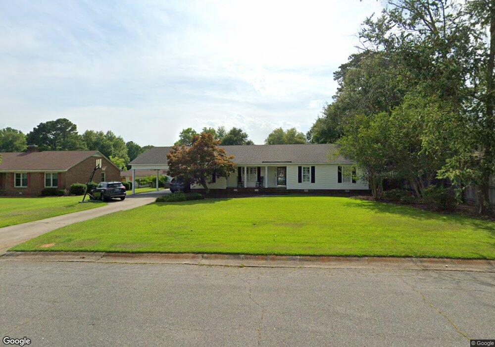
2902 Camelot Dr Kinston, NC 28504
Estimated Value: $263,000 - $312,000
3
Beds
3
Baths
2,424
Sq Ft
$115/Sq Ft
Est. Value
About This Home
This home is located at 2902 Camelot Dr, Kinston, NC 28504 and is currently estimated at $278,892, approximately $115 per square foot. 2902 Camelot Dr is a home located in Lenoir County with nearby schools including Banks Elementary School, E.B. Frink Middle School, and North Lenoir High School.
Ownership History
Date
Name
Owned For
Owner Type
Purchase Details
Closed on
Sep 14, 2005
Sold by
Jones Floyd B and Jones Patricia W
Bought by
Barwick John G and Barwick Laura E
Current Estimated Value
Home Financials for this Owner
Home Financials are based on the most recent Mortgage that was taken out on this home.
Original Mortgage
$140,000
Outstanding Balance
$74,523
Interest Rate
5.77%
Mortgage Type
New Conventional
Estimated Equity
$204,369
Create a Home Valuation Report for This Property
The Home Valuation Report is an in-depth analysis detailing your home's value as well as a comparison with similar homes in the area
Home Values in the Area
Average Home Value in this Area
Purchase History
| Date | Buyer | Sale Price | Title Company |
|---|---|---|---|
| Barwick John G | $175,000 | None Available |
Source: Public Records
Mortgage History
| Date | Status | Borrower | Loan Amount |
|---|---|---|---|
| Open | Barwick John G | $140,000 |
Source: Public Records
Tax History Compared to Growth
Tax History
| Year | Tax Paid | Tax Assessment Tax Assessment Total Assessment is a certain percentage of the fair market value that is determined by local assessors to be the total taxable value of land and additions on the property. | Land | Improvement |
|---|---|---|---|---|
| 2025 | $3,945 | $280,766 | $16,672 | $264,094 |
| 2024 | $2,718 | $168,276 | $16,000 | $152,276 |
| 2023 | $2,718 | $168,276 | $16,000 | $152,276 |
| 2022 | $2,718 | $168,276 | $16,000 | $152,276 |
| 2021 | $2,718 | $168,276 | $16,000 | $152,276 |
| 2020 | $2,650 | $168,276 | $16,000 | $152,276 |
| 2019 | $2,650 | $168,276 | $16,000 | $152,276 |
| 2018 | $2,575 | $168,276 | $16,000 | $152,276 |
| 2017 | $2,583 | $168,276 | $16,000 | $152,276 |
| 2014 | $2,781 | $186,024 | $16,000 | $170,024 |
| 2013 | -- | $186,024 | $16,000 | $170,024 |
| 2011 | -- | $186,024 | $16,000 | $170,024 |
Source: Public Records
Map
Nearby Homes
- Tract A Dobbs Farm Rd
- 2808 Brookhaven Dr
- 2102 Hardee Rd
- 2100 Emerson Rd
- 2105 Dallas Dr
- 2106 Saint George Place
- 2301 Stallings Dr
- 1907 Essex St
- 902 Rosanne Dr
- 2 Boy Scout Blvd
- 0 Hwy 258 N Unit LotWP001 22409279
- 0 Hwy 258 N Unit LotWP002
- 1912 Greenbriar Rd
- 1423 N Wilshire Ct
- 1324 S Wilshire Ct
- 7569 Carey Rd
- 2100 Hwy 258 N
- 1700 Dubose Dr
- 909 Cameron Dr
- Lot 13 Darby Ave
- 2904 Camelot Dr
- 2900 Camelot Dr
- 2901 Tacoma Dr
- 2903 Camelot Dr
- 2907 Tacoma Dr
- 2906 Camelot Dr
- 2901 Camelot Dr
- 2905 Camelot Dr
- 2909 Tacoma Dr
- 2907 Camelot Dr
- 3402 Hillandale Dr
- 3502 Hillandale Dr
- 2908 Camelot Dr
- 2902 Tacoma Dr
- 3500 Hillandale Dr
- 3504 Hillandale Dr
- 2900 Tacoma Dr
- 2904 Tacoma Dr
- 3506 Hillandale Dr
- 2911 Tacoma Dr