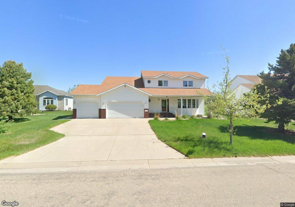
2902 Eagle Dr Moorhead, MN 56560
Estimated Value: $404,000 - $446,000
6
Beds
4
Baths
2,262
Sq Ft
$188/Sq Ft
Est. Value
About This Home
This home is located at 2902 Eagle Dr, Moorhead, MN 56560 and is currently estimated at $425,727, approximately $188 per square foot. 2902 Eagle Dr is a home located in Clay County with nearby schools including Dorothy Dodds Elementary School, Horizon Middle School, and Moorhead High School.
Ownership History
Date
Name
Owned For
Owner Type
Purchase Details
Closed on
Jun 1, 2021
Sold by
Soland David W and Soland Debra K
Bought by
Nyangezi Rose
Current Estimated Value
Home Financials for this Owner
Home Financials are based on the most recent Mortgage that was taken out on this home.
Original Mortgage
$278,000
Outstanding Balance
$251,694
Interest Rate
2.9%
Mortgage Type
New Conventional
Estimated Equity
$174,033
Purchase Details
Closed on
May 27, 2010
Sold by
Fischer Timothy S
Bought by
Soland David W and Soland Debra K
Home Financials for this Owner
Home Financials are based on the most recent Mortgage that was taken out on this home.
Original Mortgage
$283,971
Interest Rate
5.12%
Mortgage Type
VA
Create a Home Valuation Report for This Property
The Home Valuation Report is an in-depth analysis detailing your home's value as well as a comparison with similar homes in the area
Home Values in the Area
Average Home Value in this Area
Purchase History
| Date | Buyer | Sale Price | Title Company |
|---|---|---|---|
| Nyangezi Rose | $351,000 | None Available | |
| Soland David W | $274,900 | None Available | |
| Nyangezi Rose Rose | $351,000 | -- |
Source: Public Records
Mortgage History
| Date | Status | Borrower | Loan Amount |
|---|---|---|---|
| Open | Nyangezi Rose | $278,000 | |
| Previous Owner | Soland David W | $283,971 | |
| Closed | Nyangezi Rose Rose | $349,000 |
Source: Public Records
Tax History
| Year | Tax Paid | Tax Assessment Tax Assessment Total Assessment is a certain percentage of the fair market value that is determined by local assessors to be the total taxable value of land and additions on the property. | Land | Improvement |
|---|---|---|---|---|
| 2025 | $5,918 | $399,900 | $61,900 | $338,000 |
| 2024 | $5,918 | $378,400 | $61,900 | $316,500 |
| 2023 | $5,714 | $373,200 | $61,900 | $311,300 |
| 2022 | $5,136 | $355,600 | $57,100 | $298,500 |
| 2021 | $5,164 | $321,500 | $52,400 | $269,100 |
| 2020 | $5,036 | $320,600 | $52,400 | $268,200 |
| 2019 | $4,664 | $320,900 | $52,400 | $268,500 |
| 2018 | $4,668 | $316,100 | $52,400 | $263,700 |
| 2017 | $4,168 | $317,600 | $53,900 | $263,700 |
| 2016 | $4,464 | $308,500 | $53,900 | $254,600 |
| 2015 | $3,400 | $268,600 | $51,600 | $217,000 |
| 2014 | $3,514 | $268,600 | $51,600 | $217,000 |
Source: Public Records
Map
Nearby Homes
- 2907 Eagle Dr
- 328 30th St N
- 334 30th St N
- 706 Rensvold Blvd
- 518 Birch Ln
- 2305 4th Ave S
- 918 Rensvold Blvd
- 766 36th St S
- 606 32nd St N
- 419 18th St S
- 429 18th St S
- 617 20th St N
- 1715 33rd St S
- 732 Center Ave W Unit Lot 12
- 732 Center Ave W Unit Lot 13
- 401 17th St N
- 520 17th St N
- 1602 6th Ave N
- 221 15th St N
- 3724 27th St S
- 2900 Eagle Dr
- 2904 Eagle Dr
- 2906 Eagle Dr
- 303 Clearview Ct
- 2903 Eagle Dr
- 2908 Eagle Dr
- 2905 Eagle Dr
- 305 Clearview Ct
- 307 Clearview Ct
- 309 Clearview Ct
- 2910 Eagle Dr
- 311 Clearview Ct
- 318 Clearview Ct
- 2909 Eagle Dr
- 315 Clearview Ct
- 2912 Eagle Dr
- 322 Clearview Ct
- 2920 Eagle Dr
- 2911 Eagle Dr
- 323 Clearview Ct
Your Personal Tour Guide
Ask me questions while you tour the home.