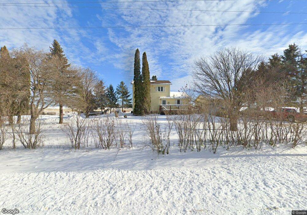
29026 210th Ave Red Wing, MN 55066
Estimated Value: $299,000 - $330,000
3
Beds
1
Bath
1,440
Sq Ft
$220/Sq Ft
Est. Value
About This Home
This home is located at 29026 210th Ave, Red Wing, MN 55066 and is currently estimated at $316,526, approximately $219 per square foot. 29026 210th Ave is a home located in Goodhue County with nearby schools including Sunnyside Elementary School, Burnside Elementary School, and Twin Bluff Middle School.
Ownership History
Date
Name
Owned For
Owner Type
Purchase Details
Closed on
Oct 18, 2023
Sold by
Friedrich Thomas L and Friedrich Shauna C
Bought by
Meacham William Dean and Meacham Mabry T
Current Estimated Value
Home Financials for this Owner
Home Financials are based on the most recent Mortgage that was taken out on this home.
Original Mortgage
$300,603
Outstanding Balance
$294,692
Interest Rate
7.12%
Mortgage Type
New Conventional
Estimated Equity
$21,834
Purchase Details
Closed on
May 29, 2015
Sold by
Giar Elaine
Bought by
Friedrich Thomas L and Simonson Shauna C
Create a Home Valuation Report for This Property
The Home Valuation Report is an in-depth analysis detailing your home's value as well as a comparison with similar homes in the area
Home Values in the Area
Average Home Value in this Area
Purchase History
| Date | Buyer | Sale Price | Title Company |
|---|---|---|---|
| Meacham William Dean | $309,900 | Knight Barry Title | |
| Friedrich Thomas L | $155,000 | Goodhue County Abstract |
Source: Public Records
Mortgage History
| Date | Status | Borrower | Loan Amount |
|---|---|---|---|
| Open | Meacham William Dean | $300,603 |
Source: Public Records
Tax History Compared to Growth
Tax History
| Year | Tax Paid | Tax Assessment Tax Assessment Total Assessment is a certain percentage of the fair market value that is determined by local assessors to be the total taxable value of land and additions on the property. | Land | Improvement |
|---|---|---|---|---|
| 2025 | $1,654 | $238,800 | $67,500 | $171,300 |
| 2024 | $1,654 | $234,500 | $67,500 | $167,000 |
| 2023 | $1,732 | $227,400 | $67,500 | $159,900 |
| 2022 | $1,478 | $212,700 | $67,500 | $145,200 |
| 2021 | $1,182 | $176,100 | $56,300 | $119,800 |
| 2020 | $1,208 | $144,800 | $46,900 | $97,900 |
| 2019 | $1,168 | $140,000 | $46,900 | $93,100 |
| 2018 | $990 | $130,900 | $46,900 | $84,000 |
| 2017 | $926 | $131,200 | $46,900 | $84,300 |
| 2016 | $766 | $124,000 | $46,900 | $77,100 |
| 2015 | $790 | $111,600 | $46,900 | $64,700 |
| 2014 | -- | $111,600 | $46,900 | $64,700 |
Source: Public Records
Map
Nearby Homes
- 31283 210th Ave
- TBD Mill Rd
- 3463 Briarview Ct
- 946 Briarwood Dr
- 912 Aurora Cir
- 936 Aurora Cir
- 921 Snowbird Dr
- 914 Snowbird Dr
- 4739 Big Sky Ct
- 853 Aurora Cir
- 910 Snowbird Dr
- 906 Snowbird Dr
- 4786 Mount Hood Ln
- 980 Aurora Cir
- 1180 Hewitt Blvd
- 808 Aurora Cir
- 505 Aspen Ave
- 469 Aspen Ave
- 4958 Chalet Ct
- 4976 Chalet Ct