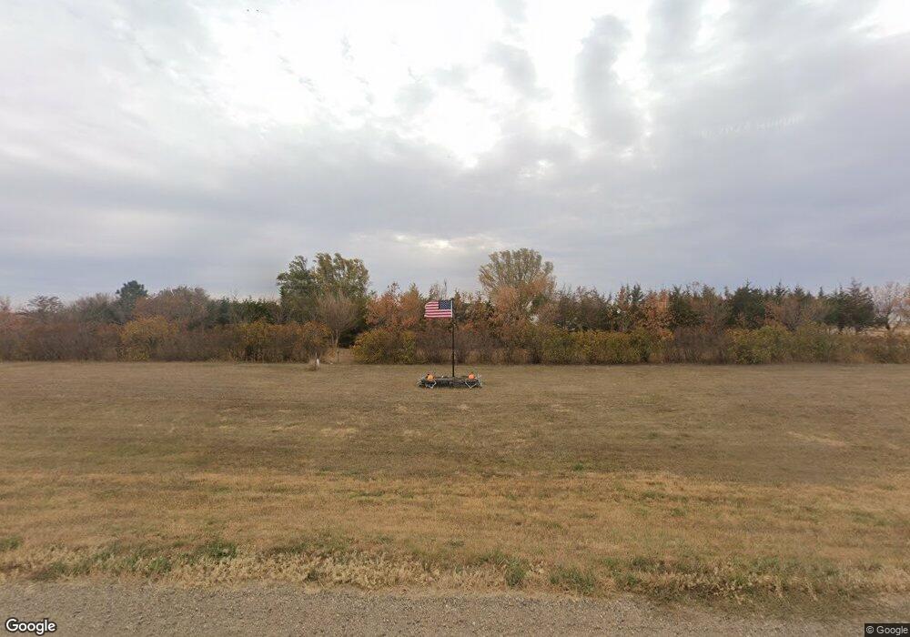
29027 201st St Pierre, SD 57501
Estimated Value: $309,000 - $390,374
2
Beds
1
Bath
1,056
Sq Ft
$343/Sq Ft
Est. Value
About This Home
This home is located at 29027 201st St, Pierre, SD 57501 and is currently estimated at $362,344, approximately $343 per square foot. 29027 201st St is a home with nearby schools including T.F. Riggs High School.
Ownership History
Date
Name
Owned For
Owner Type
Purchase Details
Closed on
May 14, 2010
Sold by
Beynon Donelle C
Bought by
Seachris Shanning L
Current Estimated Value
Home Financials for this Owner
Home Financials are based on the most recent Mortgage that was taken out on this home.
Original Mortgage
$158,163
Outstanding Balance
$106,373
Interest Rate
5.12%
Estimated Equity
$255,971
Create a Home Valuation Report for This Property
The Home Valuation Report is an in-depth analysis detailing your home's value as well as a comparison with similar homes in the area
Purchase History
| Date | Buyer | Sale Price | Title Company |
|---|---|---|---|
| Seachris Shanning L | $155,000 | -- |
Source: Public Records
Mortgage History
| Date | Status | Borrower | Loan Amount |
|---|---|---|---|
| Open | Seachris Shanning L | $158,163 |
Source: Public Records
Tax History
| Year | Tax Paid | Tax Assessment Tax Assessment Total Assessment is a certain percentage of the fair market value that is determined by local assessors to be the total taxable value of land and additions on the property. | Land | Improvement |
|---|---|---|---|---|
| 2025 | $2,660 | $316,425 | $67,852 | $248,573 |
| 2024 | $2,673 | $291,676 | $62,545 | $229,131 |
| 2023 | $2,452 | $283,394 | $59,852 | $223,542 |
| 2022 | $2,180 | $240,164 | $50,722 | $189,442 |
| 2021 | $2,129 | $203,529 | $42,985 | $160,544 |
| 2020 | $2,164 | $197,601 | $41,733 | $155,868 |
| 2019 | $2,175 | $197,601 | $41,733 | $155,868 |
| 2018 | $2,114 | $188,192 | $39,746 | $148,446 |
| 2017 | -- | $182,710 | $38,588 | $144,122 |
| 2016 | $2,107 | $182,710 | $38,588 | $144,122 |
| 2015 | -- | $165,723 | $35,000 | $130,723 |
| 2014 | -- | $154,867 | $30,369 | $124,498 |
| 2013 | -- | $154,867 | $30,369 | $124,498 |
| 2011 | -- | $135,867 | $30,369 | $105,498 |
Source: Public Records
Map
Nearby Homes
- 110 E Mccabe Place
- 28866 Merry Rd
- 0 Str 24 Unit 25-201
- TBD Golden Meadow Ln
- Lot 21 Golden Meadows Ln
- 0 Str 25 Unit 25-209
- 28884 Puckett St
- Lot 35 Falcon Ridge Rd
- Lot 3 Falcon Ridge Rd
- 0 Tbd 203rd St St
- 2821 Oxford Ct
- 6228/6229 Hwy 1804
- 0 Brookstone Lp
- 2800 Benjamin St
- 310 Country Dr
- 1912 Brighton Ct
- 1814 Camden Ct
- 2222 Stratford Place
- 201 Rousseau Ave
- 1425 Edgewater Dr
