Estimated Value: $310,000 - $456,229
3
Beds
2
Baths
800
Sq Ft
$452/Sq Ft
Est. Value
About This Home
This home is located at 2903 Carroll Ave, Salix, IA 51052 and is currently estimated at $361,557, approximately $451 per square foot. 2903 Carroll Ave is a home located in Woodbury County with nearby schools including Westwood Elementary School and Westwood High School.
Ownership History
Date
Name
Owned For
Owner Type
Purchase Details
Closed on
Oct 8, 2020
Sold by
Kelly Phyllis J and Kelly Ronald F
Bought by
Lee Ashton L
Current Estimated Value
Purchase Details
Closed on
Nov 24, 2008
Sold by
Tendal Kenneth G and Tendal Patricia L
Bought by
Lee Ashton L
Home Financials for this Owner
Home Financials are based on the most recent Mortgage that was taken out on this home.
Original Mortgage
$121,500
Interest Rate
6.48%
Mortgage Type
New Conventional
Create a Home Valuation Report for This Property
The Home Valuation Report is an in-depth analysis detailing your home's value as well as a comparison with similar homes in the area
Home Values in the Area
Average Home Value in this Area
Purchase History
| Date | Buyer | Sale Price | Title Company |
|---|---|---|---|
| Lee Ashton L | -- | None Available | |
| Lee Ashton L | $135,000 | -- |
Source: Public Records
Mortgage History
| Date | Status | Borrower | Loan Amount |
|---|---|---|---|
| Previous Owner | Lee Ashton L | $121,500 |
Source: Public Records
Tax History Compared to Growth
Tax History
| Year | Tax Paid | Tax Assessment Tax Assessment Total Assessment is a certain percentage of the fair market value that is determined by local assessors to be the total taxable value of land and additions on the property. | Land | Improvement |
|---|---|---|---|---|
| 2025 | $2,822 | $360,160 | $56,400 | $303,760 |
| 2024 | $2,822 | $333,250 | $37,500 | $295,750 |
| 2023 | $2,578 | $283,750 | $37,500 | $246,250 |
| 2022 | $2,548 | $225,480 | $37,500 | $187,980 |
| 2021 | $2,548 | $225,480 | $37,500 | $187,980 |
| 2020 | $2,480 | $211,030 | $40,130 | $170,900 |
| 2019 | $2,410 | $211,030 | $40,130 | $170,900 |
| 2018 | $2,322 | $196,580 | $25,680 | $170,900 |
| 2017 | $2,160 | $196,580 | $25,680 | $170,900 |
| 2016 | $2,146 | $173,700 | $0 | $0 |
| 2015 | $1,833 | $162,340 | $24,000 | $138,340 |
| 2014 | $1,809 | $139,450 | $24,000 | $115,450 |
Source: Public Records
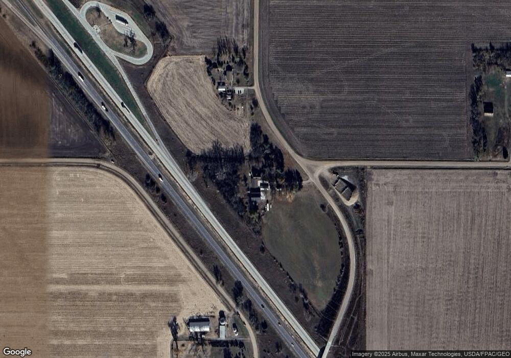
Map
Nearby Homes
- 3003 Cass Ave
- TBD 280th St Unit Lot 4
- 521 Beall St
- 511 5th St
- 409 Elm St
- 301 Cedar St
- 2009 325th St
- TBD 230th St
- 00 120th St
- 504 Zach Rd
- 2216 Old Highway 141
- 1382 220th St
- 119 Pioneer Valley Dr
- 12724 Highway K42
- 0 Alder Ave Unit NOC6331681
- 608 Jamie Ln
- 602 Jamie Ln
- 600 Jamie Ln
- 611 Jamie Ln
- 613 Jamie Ln