Estimated Value: $345,000 - $404,000
4
Beds
3
Baths
2,216
Sq Ft
$170/Sq Ft
Est. Value
About This Home
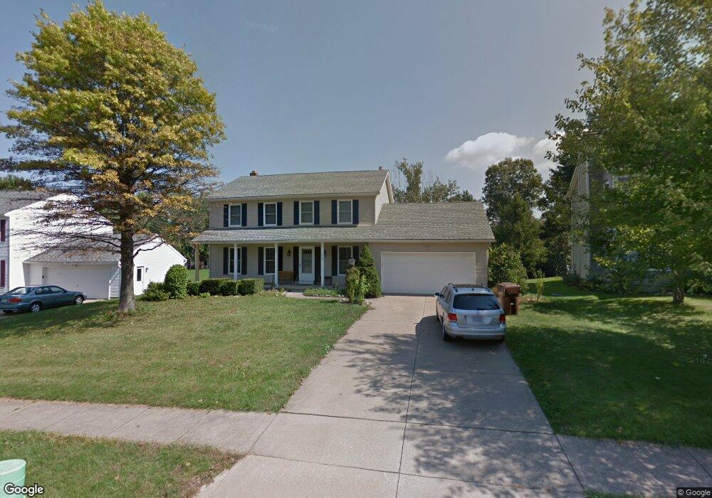
This home is located at 2903 Williamsburg Cir, Stow, OH 44224 and is currently estimated at $375,895, approximately $169 per square foot. 2903 Williamsburg Cir is a home located in Summit County with nearby schools including Stow-Munroe Falls High School, St Patrick Elementary School, and Walsh Jesuit High School.
Ownership History
Date
Name
Owned For
Owner Type
Purchase Details
Closed on
Apr 11, 2008
Sold by
Canty John P and Canty Lynda M
Bought by
Brownridge Thomas E and Brownridge Rachel K
Current Estimated Value
Home Financials for this Owner
Home Financials are based on the most recent Mortgage that was taken out on this home.
Original Mortgage
$173,764
Outstanding Balance
$112,065
Interest Rate
6.32%
Mortgage Type
New Conventional
Estimated Equity
$263,830
Purchase Details
Closed on
May 21, 1998
Sold by
Wagner Michael J
Bought by
Canty John P and Sheeter Lynda M
Home Financials for this Owner
Home Financials are based on the most recent Mortgage that was taken out on this home.
Original Mortgage
$153,000
Interest Rate
7.19%
Mortgage Type
New Conventional
Create a Home Valuation Report for This Property
The Home Valuation Report is an in-depth analysis detailing your home's value as well as a comparison with similar homes in the area
Home Values in the Area
Average Home Value in this Area
Purchase History
| Date | Buyer | Sale Price | Title Company |
|---|---|---|---|
| Brownridge Thomas E | $217,300 | Lawyers Title Ins | |
| Canty John P | $170,000 | -- |
Source: Public Records
Mortgage History
| Date | Status | Borrower | Loan Amount |
|---|---|---|---|
| Open | Brownridge Thomas E | $173,764 | |
| Closed | Canty John P | $153,000 |
Source: Public Records
Tax History Compared to Growth
Tax History
| Year | Tax Paid | Tax Assessment Tax Assessment Total Assessment is a certain percentage of the fair market value that is determined by local assessors to be the total taxable value of land and additions on the property. | Land | Improvement |
|---|---|---|---|---|
| 2025 | $5,922 | $105,239 | $18,232 | $87,007 |
| 2024 | $5,922 | $105,239 | $18,232 | $87,007 |
| 2023 | $5,922 | $105,239 | $18,232 | $87,007 |
| 2022 | $5,172 | $81,099 | $14,025 | $67,074 |
| 2021 | $4,629 | $81,099 | $14,025 | $67,074 |
| 2020 | $4,550 | $81,100 | $14,030 | $67,070 |
| 2019 | $4,434 | $73,860 | $13,890 | $59,970 |
| 2018 | $4,361 | $73,860 | $13,890 | $59,970 |
| 2017 | $3,997 | $73,860 | $13,890 | $59,970 |
| 2016 | $4,115 | $65,730 | $13,890 | $51,840 |
| 2015 | $3,997 | $65,730 | $13,890 | $51,840 |
| 2014 | $4,001 | $65,730 | $13,890 | $51,840 |
| 2013 | $4,053 | $67,030 | $13,890 | $53,140 |
Source: Public Records
Map
Nearby Homes
- 2908 Wexford Blvd
- 2831 Saybrooke Blvd
- 2714 Wexford Blvd
- 4444 Hickory Trail
- 4445 Kenneth Trail
- 4556 Fishcreek Rd
- 4638 Dresher Trail
- 3788 Woodbury Oval Unit 60
- 3860 Lake Run Blvd
- 4078 Pardee Rd
- 4155 Burton Dr
- 4131 Burton Dr
- 4910 Independence Cir Unit D
- 4916 Friar Rd Unit B
- 0 Vira Rd
- 76 Wanda Ct
- 3801 Baird Rd
- 2410 Wrens Dr S
- 2260 E Gilwood Dr
- 4322 Lorwood Dr
- 2911 Williamsburg Cir
- 2895 Williamsburg Cir
- 2917 Williamsburg Cir
- 2887 Williamsburg Cir
- 2932 Wexford Blvd
- 2924 Wexford Blvd
- 4286 Bunker Ln
- 2916 Wexford Blvd
- 2940 Wexford Blvd
- 4296 Bunker Ln
- 2906 Williamsburg Cir
- 2879 Williamsburg Cir
- 2896 Williamsburg Cir
- 2923 Williamsburg Cir
- 2914 Williamsburg Cir
- 2886 Williamsburg Cir
- 4272 Bunker Ln
- 2950 Wexford Blvd
- 2900 Wexford Blvd
- 2876 Williamsburg Cir