29032 450th St Laporte, MN 56461
Estimated Value: $255,000 - $311,396
2
Beds
1
Bath
1,268
Sq Ft
$231/Sq Ft
Est. Value
About This Home
This home is located at 29032 450th St, Laporte, MN 56461 and is currently estimated at $292,465, approximately $230 per square foot. 29032 450th St is a home located in Hubbard County with nearby schools including Horace May Elementary School, Bemidji Middle School, and Bemidji Senior High School.
Ownership History
Date
Name
Owned For
Owner Type
Purchase Details
Closed on
Mar 10, 2006
Sold by
Bard Brenda and Finckbone Darrol D
Bought by
Bard Brenda and Finckbone Darrol D
Current Estimated Value
Home Financials for this Owner
Home Financials are based on the most recent Mortgage that was taken out on this home.
Original Mortgage
$50,000
Interest Rate
5.98%
Mortgage Type
Stand Alone Second
Create a Home Valuation Report for This Property
The Home Valuation Report is an in-depth analysis detailing your home's value as well as a comparison with similar homes in the area
Purchase History
| Date | Buyer | Sale Price | Title Company |
|---|---|---|---|
| Bard Brenda | -- | First American |
Source: Public Records
Mortgage History
| Date | Status | Borrower | Loan Amount |
|---|---|---|---|
| Closed | Bard Brenda | $50,000 |
Source: Public Records
Tax History
| Year | Tax Paid | Tax Assessment Tax Assessment Total Assessment is a certain percentage of the fair market value that is determined by local assessors to be the total taxable value of land and additions on the property. | Land | Improvement |
|---|---|---|---|---|
| 2024 | $1,280 | $265,500 | $80,200 | $185,300 |
| 2023 | $1,414 | $283,100 | $63,300 | $219,800 |
| 2022 | $2,366 | $415,900 | $102,600 | $313,300 |
| 2021 | $2,282 | $280,700 | $88,700 | $192,000 |
| 2020 | $2,234 | $233,600 | $81,305 | $152,295 |
| 2019 | $2,116 | $234,300 | $83,614 | $150,686 |
| 2018 | $1,966 | $191,100 | $73,478 | $117,622 |
| 2016 | $1,346 | $117,700 | $51,593 | $66,107 |
| 2015 | $1,132 | $110,500 | $52,430 | $58,070 |
| 2014 | $1,168 | $123,100 | $54,303 | $68,797 |
Source: Public Records
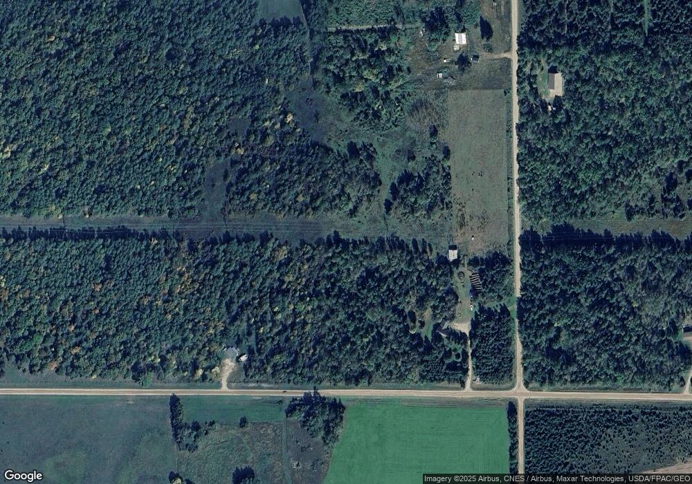
Map
Nearby Homes
- 27462 Raven Rd
- 46962 parcel B 269th Ave
- TBD 450th St
- 31622 450th St
- TBD County 39 Rd
- 26070 County 9
- 47183 Cass Line Rd
- 32597 Quail Ln
- 23165 County 118
- 30945 Vahalla Ln
- TBD County 36
- 30371 Old Sunset Dr
- 6608 148th St NW Unit LotWP001
- 170 Main St E
- 51745 Warbler Dr
- XXX Watercress Dr
- 31423 Wejack Rd
- 31444 Wejack Rd
- 50743 Us 71
- TBD N Plantangenet Rd SE
- TBD 450th St
- 29104 450th St
- 45208 285th Ave
- 44814 285th Ave
- 28952 450th St
- 45384 285th Ave
- 0 285th Ave
- 29219 450th St
- 28848 450th St
- 28803 450th St
- 28803 450th St
- 28803 450th St
- 45694 285th Ave
- 28760 450th St
- 29349 450th St
- 28613 450th St
- 45769 285th Ave
- 28696 450th St
- NESE&PtSES County Road 16
- NESE&PtSESE County Road 16
Your Personal Tour Guide
Ask me questions while you tour the home.