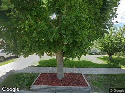
29033 Block St Garden City, MI 48135
Estimated Value: $152,000 - $199,551
3
Beds
1
Bath
1,250
Sq Ft
$148/Sq Ft
Est. Value
About This Home
This home is located at 29033 Block St, Garden City, MI 48135 and is currently estimated at $184,888, approximately $147 per square foot. 29033 Block St is a home located in Wayne County with nearby schools including Douglas Elementary 3-4 Campus, Memorial Elementary 1-2 Campus, and Garden City Middle School.
Ownership History
Date
Name
Owned For
Owner Type
Purchase Details
Closed on
Dec 10, 2013
Sold by
Milican Rodney L and Milican Lori
Bought by
Milican Rodney L
Current Estimated Value
Home Financials for this Owner
Home Financials are based on the most recent Mortgage that was taken out on this home.
Original Mortgage
$110,136
Outstanding Balance
$61,117
Interest Rate
4.25%
Mortgage Type
FHA
Estimated Equity
$140,484
Purchase Details
Closed on
May 28, 2002
Sold by
Borg Michael A
Bought by
Milican Lori
Create a Home Valuation Report for This Property
The Home Valuation Report is an in-depth analysis detailing your home's value as well as a comparison with similar homes in the area
Home Values in the Area
Average Home Value in this Area
Purchase History
| Date | Buyer | Sale Price | Title Company |
|---|---|---|---|
| Milican Rodney L | -- | None Available | |
| Milican Lori | $129,900 | -- |
Source: Public Records
Mortgage History
| Date | Status | Borrower | Loan Amount |
|---|---|---|---|
| Open | Milican Rodney L | $110,136 |
Source: Public Records
Tax History Compared to Growth
Tax History
| Year | Tax Paid | Tax Assessment Tax Assessment Total Assessment is a certain percentage of the fair market value that is determined by local assessors to be the total taxable value of land and additions on the property. | Land | Improvement |
|---|---|---|---|---|
| 2024 | $2,200 | $91,000 | $0 | $0 |
| 2023 | $2,079 | $78,900 | $0 | $0 |
| 2022 | $2,332 | $67,100 | $0 | $0 |
| 2021 | $2,282 | $63,800 | $0 | $0 |
| 2020 | $2,292 | $59,100 | $0 | $0 |
| 2019 | $1,885 | $50,800 | $0 | $0 |
| 2018 | $1,679 | $41,600 | $0 | $0 |
| 2017 | $544 | $39,000 | $0 | $0 |
| 2016 | $1,909 | $38,300 | $0 | $0 |
| 2015 | $3,343 | $36,300 | $0 | $0 |
| 2013 | $3,330 | $34,700 | $0 | $0 |
| 2012 | $2,132 | $36,100 | $8,700 | $27,400 |
Source: Public Records
Map
Nearby Homes
- 29520 Elmwood St
- 28508 Block St
- 28460 Beechwood St
- 29870 Elmwood St
- 28501 Krauter St
- 29751 Balmoral St
- 28343 Maplewood St
- 28909 Pardo St
- 6169 Gilman St
- 29155 John Hauk St
- 5689 Brandt St
- 29205 Bridge St
- 6150 Gilman St
- 6457 Burnly St
- 6306 Gilman St
- 5908 Gilman St
- 28465 John Hauk St
- 29404 Meadow Ln Unit 1
- 28506 Donnelly St
- 6249 Deering St
- 29033 Block St
- 29021 Block St
- 29045 Block St
- 29057 Block St
- 29005 Block St
- 29069 Block St
- 29016 Dawson St
- 29008 Dawson St
- 29024 Dawson St
- 29000 Dawson St
- 29050 Dawson St
- 28961 Block St
- 28980 Dawson St
- 29034 Block St
- 29046 Block St
- 29022 Block St
- 28953 Block St
- 29058 Block St
- 28960 Dawson St
- 29070 Block St
