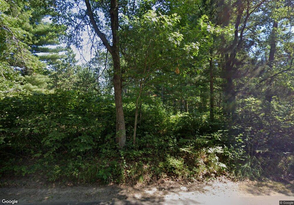
29036 Huxtable Point Rd Merrifield, MN 56465
Estimated Value: $754,000 - $1,252,000
3
Beds
2
Baths
2,768
Sq Ft
$343/Sq Ft
Est. Value
About This Home
This home is located at 29036 Huxtable Point Rd, Merrifield, MN 56465 and is currently estimated at $948,140, approximately $342 per square foot. 29036 Huxtable Point Rd is a home located in Crow Wing County with nearby schools including Cuyuna Range Elementary School and Crosby-Ironton Secondary School.
Ownership History
Date
Name
Owned For
Owner Type
Purchase Details
Closed on
Dec 23, 2024
Sold by
Eisele Gregory and Eisele Sharon
Bought by
Gregory S & Sharon L Eisele Revocable Trust and Eisele
Current Estimated Value
Purchase Details
Closed on
Jun 20, 2019
Sold by
Kalton Robert R and Kalton Rebecca R
Bought by
Eisele Gregory and Eisele Sharon
Purchase Details
Closed on
Jul 1, 2007
Bought by
Kalton Robert R and Kalton Rebecca
Create a Home Valuation Report for This Property
The Home Valuation Report is an in-depth analysis detailing your home's value as well as a comparison with similar homes in the area
Home Values in the Area
Average Home Value in this Area
Purchase History
| Date | Buyer | Sale Price | Title Company |
|---|---|---|---|
| Gregory S & Sharon L Eisele Revocable Trust | $500 | None Listed On Document | |
| Eisele Gregory | $497,250 | -- | |
| Kalton Robert R | $475,000 | -- |
Source: Public Records
Tax History Compared to Growth
Tax History
| Year | Tax Paid | Tax Assessment Tax Assessment Total Assessment is a certain percentage of the fair market value that is determined by local assessors to be the total taxable value of land and additions on the property. | Land | Improvement |
|---|---|---|---|---|
| 2025 | $4,714 | $827,600 | $578,900 | $248,700 |
| 2024 | $4,714 | $712,300 | $473,000 | $239,300 |
| 2023 | $4,018 | $646,200 | $394,200 | $252,000 |
| 2022 | $3,386 | $657,700 | $401,000 | $256,700 |
| 2021 | $3,092 | $460,200 | $292,500 | $167,700 |
| 2020 | $3,212 | $411,600 | $253,200 | $158,400 |
| 2019 | $2,924 | $395,400 | $241,100 | $154,300 |
| 2018 | $2,894 | $348,200 | $212,900 | $135,300 |
| 2017 | $2,902 | $347,300 | $212,900 | $134,400 |
| 2016 | $2,232 | $261,500 | $133,100 | $128,400 |
| 2015 | $2,240 | $258,500 | $133,100 | $125,400 |
| 2014 | $1,064 | $242,600 | $116,400 | $126,200 |
Source: Public Records
Map
Nearby Homes
- 13084 Mission Park Dr
- Parcel F SW Horseshoe Lake Rd
- 30112 County Road 3
- Tract C Tract C-Polaris
- 13632 Piney Ln
- Tract D Polaris Ln
- Tract B Polaris Ln
- Lot J Sandbar Ln
- Lot A Sandbar Ln
- Lot B Sandbar Ln
- 12553 N Pelican Ln
- TBD Cr-109
- 27181 Ridgewood Dr
- 13893 County Road 116
- 26363 County Road 3
- 28195 Mission Cutoff
- TBD Tract A Fawn Lake Rd
- TBD Tract B Fawn Lake Rd
- XXX2 Cedar St
- TBD Lot 49, Blk 1 Huron Cir
- 29018 Huxtable Point Rd
- 29072 Huxtable Point Rd
- 29098 Huxtable Point Rd
- 13416 Mission Park Dr
- 29118 Huxtable Point Rd
- 13434 Mission Park Dr
- 29142 Huxtable Point Rd
- 13505 Mission Park Dr
- 13449 SW Horseshoe Lake Rd
- 13468 SW Horseshoe Lake Rd
- 13462 Mission Park Dr
- 13349 Mission Park Dr
- 13468 Mission Park Dr
- 13460 SW Horseshoe Lake Rd
- 13423 SW Horseshoe Lake Rd
- 13444 SW Horseshoe Lake Rd
- 29197 Huxtable Point Rd
- 13299 Mission Park Dr
- 13426 SW Horseshoe Lake Rd
- 13250 Mission Park Dr
