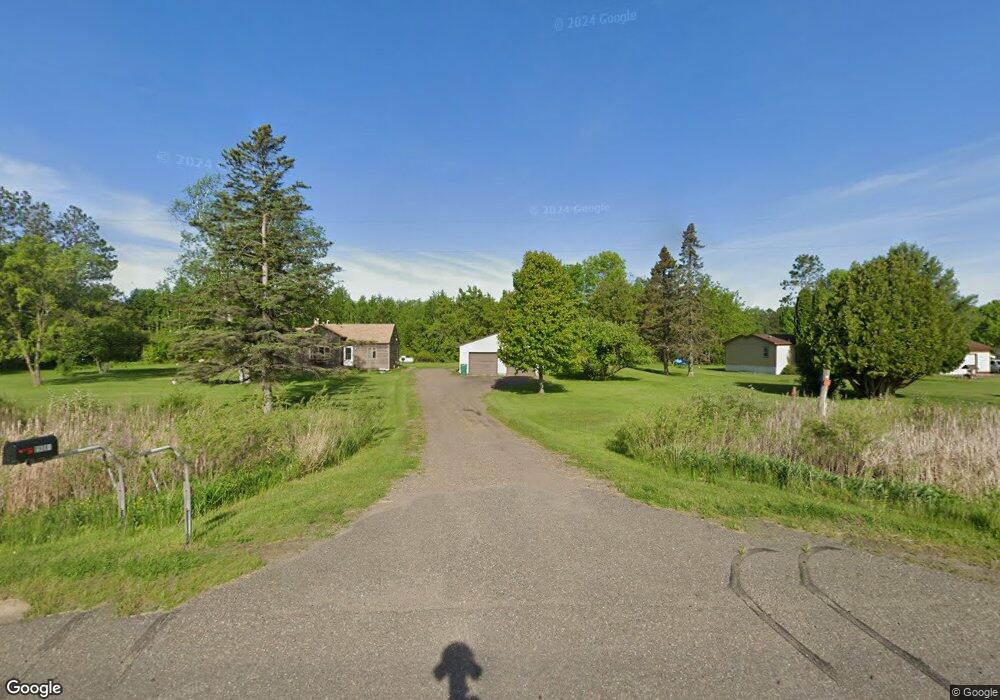
29037 Us Highway 169 Aitkin, MN 56431
Estimated Value: $928,349
--
Bed
--
Bath
2,025
Sq Ft
$458/Sq Ft
Est. Value
About This Home
This home is located at 29037 Us Highway 169, Aitkin, MN 56431 and is currently estimated at $928,349, approximately $458 per square foot. 29037 Us Highway 169 is a home located in Aitkin County with nearby schools including Rippleside Elementary School and Aitkin Secondary School.
Ownership History
Date
Name
Owned For
Owner Type
Purchase Details
Closed on
Jul 1, 2013
Bought by
Peterson Donald L and Peterson Michelle C
Current Estimated Value
Home Financials for this Owner
Home Financials are based on the most recent Mortgage that was taken out on this home.
Original Mortgage
$295,000
Outstanding Balance
$210,836
Interest Rate
3.52%
Estimated Equity
$717,513
Create a Home Valuation Report for This Property
The Home Valuation Report is an in-depth analysis detailing your home's value as well as a comparison with similar homes in the area
Home Values in the Area
Average Home Value in this Area
Purchase History
| Date | Buyer | Sale Price | Title Company |
|---|---|---|---|
| Peterson Donald L | $300,000 | -- | |
| Peterson Donald | $300,000 | -- |
Source: Public Records
Mortgage History
| Date | Status | Borrower | Loan Amount |
|---|---|---|---|
| Open | Peterson Donald | $295,000 |
Source: Public Records
Tax History Compared to Growth
Tax History
| Year | Tax Paid | Tax Assessment Tax Assessment Total Assessment is a certain percentage of the fair market value that is determined by local assessors to be the total taxable value of land and additions on the property. | Land | Improvement |
|---|---|---|---|---|
| 2025 | $2,124 | $205,800 | $42,100 | $163,700 |
| 2024 | $2,218 | $178,600 | $42,100 | $136,500 |
| 2023 | $2,010 | $178,600 | $42,100 | $136,500 |
| 2022 | $2,764 | $169,100 | $42,100 | $127,000 |
| 2021 | $2,510 | $169,100 | $42,100 | $127,000 |
| 2020 | $2,724 | $169,100 | $42,100 | $127,000 |
| 2019 | $2,592 | $169,100 | $42,100 | $127,000 |
| 2018 | $2,736 | $169,100 | $42,100 | $127,000 |
| 2017 | $3,246 | $169,100 | $42,100 | $127,000 |
| 2016 | $3,340 | $169,100 | $42,100 | $127,000 |
| 2014 | $2,784 | $143,000 | $42,100 | $100,900 |
| 2012 | $25 | $143,000 | $42,100 | $100,900 |
Source: Public Records
Map
Nearby Homes
- 29510 US Highway 169 Unit 42
- 29207 421st Place
- 29957 436th Place
- 29225 442nd Place
- 29351 410th Place
- 41288 300th Ln
- 29569 400th Ave
- 43XXX Daisy St
- 40587 321st Ln
- 40559 321st Ln
- 27311 Nelson Dr
- 32003 402nd Place
- 31457 395th Place
- 32598 Pioneer Ave
- 070026400 321st Ln
- 32095 402nd Place
- 38998 306th Ln
- 29206 388th Place
- TBD Taylor Rd
- TBD Lots B & C 389th Ave
- 29041 Us Highway 169
- 29091 Us Highway 169
- 28965 Us Highway 169
- 29125 Us Highway 169
- TBD Tract A 290th St
- 29061 Pioneer Ave
- xxx 290th St
- 42650 290th St
- 28890 Us Highway 169
- Tracts A-D 290th St
- 29235 427th Ave
- 29093 Pioneer Ave
- 29219 427th Ave
- 29116 Pioneer Ave
- 29239 427th Ave
- 29120 Pioneer Ave
- 42505 294th Ln
- 42508 - C 290th St
- 42508 - B 290th St
- 42508 290th St