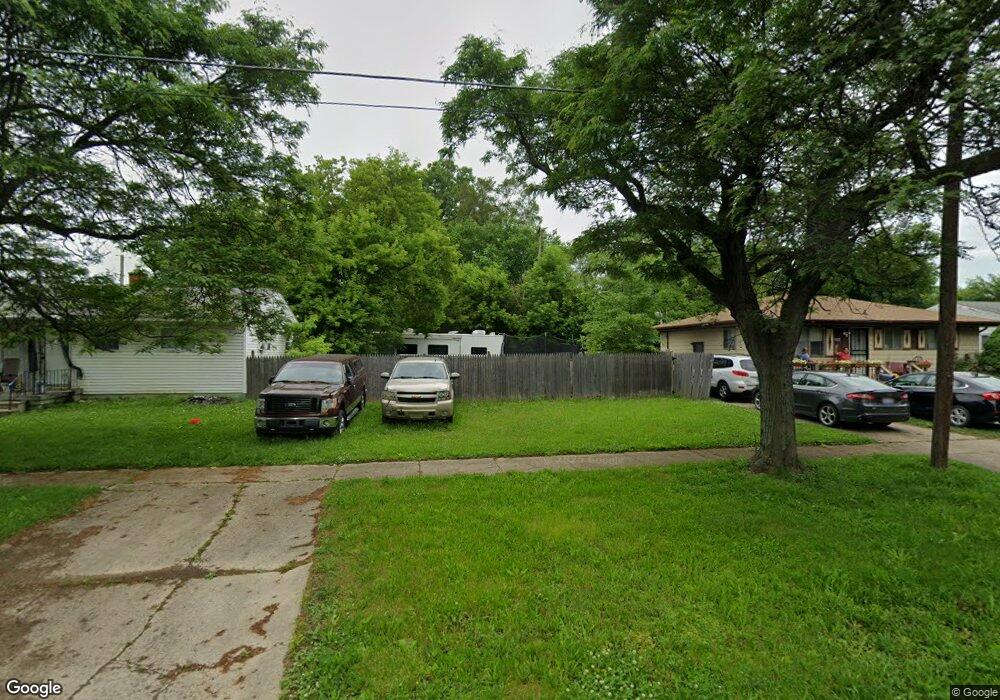
2905 Branch Rd Flint, MI 48506
Potter Longway NeighborhoodEstimated Value: $46,000 - $110,000
3
Beds
1
Bath
1,320
Sq Ft
$58/Sq Ft
Est. Value
About This Home
This home is located at 2905 Branch Rd, Flint, MI 48506 and is currently estimated at $76,104, approximately $57 per square foot. 2905 Branch Rd is a home located in Genesee County with nearby schools including Potter School, Richfield Public School Academy, and Richfield Early Learning Center.
Ownership History
Date
Name
Owned For
Owner Type
Purchase Details
Closed on
Nov 1, 2022
Sold by
Slater Phillip R
Bought by
Slater Lynette
Current Estimated Value
Purchase Details
Closed on
May 8, 2018
Sold by
Genesee County Land Bank Authority
Bought by
Slater Philip
Purchase Details
Closed on
Dec 20, 2013
Sold by
Genesee County Treasurer
Bought by
Genesee County Land Bank
Purchase Details
Closed on
May 14, 1999
Sold by
Sheroski J Sheroski C and Sheroski J L
Bought by
Brandrofchak Nancy K
Create a Home Valuation Report for This Property
The Home Valuation Report is an in-depth analysis detailing your home's value as well as a comparison with similar homes in the area
Home Values in the Area
Average Home Value in this Area
Purchase History
| Date | Buyer | Sale Price | Title Company |
|---|---|---|---|
| Slater Lynette | -- | -- | |
| Slater Philip | -- | None Available | |
| Genesee County Land Bank | -- | None Available | |
| Brandrofchak Nancy K | $50,500 | Lawyers Title Insurance Corp |
Source: Public Records
Tax History Compared to Growth
Tax History
| Year | Tax Paid | Tax Assessment Tax Assessment Total Assessment is a certain percentage of the fair market value that is determined by local assessors to be the total taxable value of land and additions on the property. | Land | Improvement |
|---|---|---|---|---|
| 2025 | $171 | $3,900 | $0 | $0 |
| 2024 | $161 | $3,300 | $0 | $0 |
| 2023 | $167 | $2,500 | $0 | $0 |
| 2022 | $0 | $2,200 | $0 | $0 |
| 2021 | $198 | $2,000 | $0 | $0 |
| 2020 | $187 | $1,700 | $0 | $0 |
| 2019 | $83 | $1,300 | $0 | $0 |
| 2018 | $0 | $0 | $0 | $0 |
| 2017 | $0 | $0 | $0 | $0 |
| 2016 | $0 | $0 | $0 | $0 |
| 2015 | -- | $0 | $0 | $0 |
| 2014 | -- | $0 | $0 | $0 |
| 2012 | -- | $12,500 | $0 | $0 |
Source: Public Records
Map
Nearby Homes
- 2719 Branch Rd
- 3010 Wyoming Ave
- 3214 Maryland Ave
- 3116 Beechwood Ave
- 3226 Mcclure Ave
- 3702 Branch Rd
- 3710 Branch Rd
- 3149 Whittier Ave
- 2426 Hoff St
- 3602 Dakota Ave
- 2211 Torrance St
- 3205 Holly Ave
- 2935 Richfield Rd
- 3514 Whittier Ave
- 3232 Dale Ave
- 3713 Risedorph Ave
- 4127 Coggins Ave
- 3729 Craig Dr
- 2506 Arlington Ave
- 00 Richfield Rd
- 2909 Branch Rd
- 2901 Branch Rd
- 3027 Dakota Ave
- 2913 Branch Rd
- 3025 Dakota Ave
- 3026 Oklahoma Ave
- 2813 Branch Rd
- 3020 Oklahoma Ave
- 2906 Branch Rd
- 2902 Branch Rd
- 3030 Dakota Ave
- 3015 Dakota Ave
- 3016 Oklahoma Ave
- 2910 Branch Rd
- 3031 Oklahoma Ave
- 3025 Oklahoma Ave
- 2914 Branch Rd
- 3011 Dakota Ave
- 3021 Oklahoma Ave
- 3109 Dakota Ave