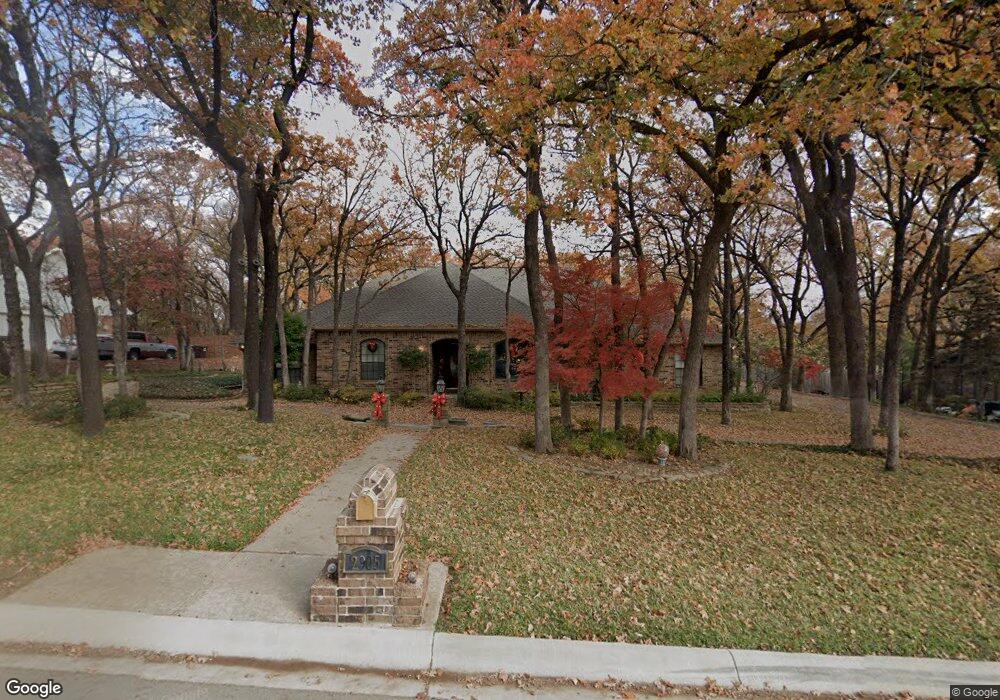
2905 Forrestridge Dr Denton, TX 76205
South Denton NeighborhoodEstimated Value: $610,000 - $656,000
4
Beds
4
Baths
3,028
Sq Ft
$207/Sq Ft
Est. Value
About This Home
This home is located at 2905 Forrestridge Dr, Denton, TX 76205 and is currently estimated at $627,195, approximately $207 per square foot. 2905 Forrestridge Dr is a home located in Denton County with nearby schools including Ryan Elementary School, McMath Middle School, and Denton High School.
Ownership History
Date
Name
Owned For
Owner Type
Purchase Details
Closed on
Aug 9, 2024
Sold by
Hall Barbara Gale
Bought by
Barbara Gale Hall Revocable Trust and Hall
Current Estimated Value
Purchase Details
Closed on
Oct 4, 2002
Sold by
Brown Jimmie D
Bought by
Thj Properties
Home Financials for this Owner
Home Financials are based on the most recent Mortgage that was taken out on this home.
Original Mortgage
$345,000
Interest Rate
6.13%
Create a Home Valuation Report for This Property
The Home Valuation Report is an in-depth analysis detailing your home's value as well as a comparison with similar homes in the area
Home Values in the Area
Average Home Value in this Area
Purchase History
| Date | Buyer | Sale Price | Title Company |
|---|---|---|---|
| Barbara Gale Hall Revocable Trust | -- | None Listed On Document | |
| Thj Properties | -- | -- |
Source: Public Records
Mortgage History
| Date | Status | Borrower | Loan Amount |
|---|---|---|---|
| Previous Owner | Thj Properties | $345,000 |
Source: Public Records
Tax History Compared to Growth
Tax History
| Year | Tax Paid | Tax Assessment Tax Assessment Total Assessment is a certain percentage of the fair market value that is determined by local assessors to be the total taxable value of land and additions on the property. | Land | Improvement |
|---|---|---|---|---|
| 2025 | $3,721 | $497,660 | $161,415 | $439,967 |
| 2024 | $8,733 | $452,418 | $0 | $0 |
| 2023 | $3,728 | $411,289 | $161,415 | $413,837 |
| 2022 | $7,937 | $373,899 | $116,578 | $310,112 |
| 2021 | $7,556 | $339,908 | $95,675 | $244,233 |
| 2020 | $7,929 | $346,886 | $95,675 | $251,211 |
| 2019 | $8,214 | $344,237 | $95,675 | $248,562 |
| 2018 | $8,070 | $334,062 | $95,675 | $238,387 |
| 2017 | $8,164 | $330,300 | $66,973 | $263,327 |
| 2016 | $7,445 | $301,214 | $66,973 | $234,241 |
| 2015 | $5,612 | $279,289 | $66,973 | $212,316 |
| 2013 | -- | $261,377 | $66,973 | $194,404 |
Source: Public Records
Map
Nearby Homes
- 39 Highview Cir
- 3109 Forrestridge Dr
- 28 Timbergreen Cir
- 9 Oak Forrest Cir
- 3200 Belmont St
- 816 Chapel Dr
- 100 Bentwood Ct
- 33 Oak Forrest Cir
- 409 Meadowlands Dr
- 3309 Del Mar Dr
- 824 Sandpiper Dr
- 301 Fairmount Ct
- 821 Sandpiper Dr
- 400 Regency Ct
- 3601 Montecito Dr
- 829 Skylark Dr
- 21 Wellington Oaks Cir
- 2216 Jefferson Trail
- 3612 Granada Trail
- 2226 Savannah Trail
- 2903 Forrestridge Dr
- 3001 Forrestridge Dr
- 3000 Santa Monica Dr
- 43 Highview Cir
- 3006 Santa Monica Dr
- 2910 Santa Monica Dr
- 2901 Forrestridge Dr
- 3003 Forrestridge Dr
- 44 Highview Cir
- 2900 Forrestridge Dr
- 2906 Santa Monica Dr
- 3010 Santa Monica Dr
- 41 Highview Cir
- 2809 Forrestridge Dr
- 1 Timbergreen Cir
- 3005 Forrestridge Dr
- 12 Highview Ct
- 2900 Santa Monica Dr
- 3014 Santa Monica Dr
- 2810 Forrestridge Dr