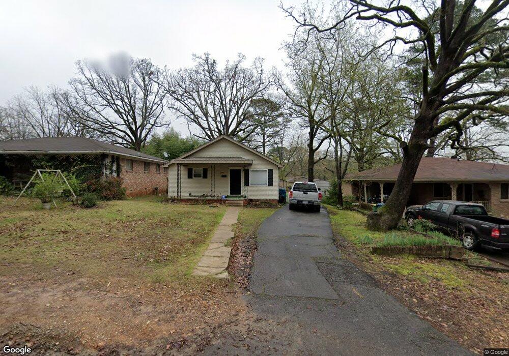
2905 Ware St Little Rock, AR 72204
Boyle Park NeighborhoodEstimated Value: $74,000 - $112,000
--
Bed
4
Baths
1,008
Sq Ft
$95/Sq Ft
Est. Value
About This Home
This home is located at 2905 Ware St, Little Rock, AR 72204 and is currently estimated at $95,690, approximately $94 per square foot. 2905 Ware St is a home located in Pulaski County with nearby schools including Bale Elementary School, J.A. Fair K8 Preparatory School, and Henderson Middle School.
Ownership History
Date
Name
Owned For
Owner Type
Purchase Details
Closed on
Dec 15, 2016
Sold by
Lpp Mortgage Ltd
Bought by
P5 Holdings Llc
Current Estimated Value
Home Financials for this Owner
Home Financials are based on the most recent Mortgage that was taken out on this home.
Original Mortgage
$50,000
Interest Rate
4.03%
Mortgage Type
Commercial
Purchase Details
Closed on
May 20, 2016
Sold by
Chaney Kevin T
Bought by
Lpp Mortgage Ltd
Purchase Details
Closed on
Mar 1, 2000
Sold by
Raper Steve V
Bought by
Chaney Kevin T
Home Financials for this Owner
Home Financials are based on the most recent Mortgage that was taken out on this home.
Original Mortgage
$44,136
Interest Rate
8.31%
Mortgage Type
FHA
Create a Home Valuation Report for This Property
The Home Valuation Report is an in-depth analysis detailing your home's value as well as a comparison with similar homes in the area
Home Values in the Area
Average Home Value in this Area
Purchase History
| Date | Buyer | Sale Price | Title Company |
|---|---|---|---|
| P5 Holdings Llc | $23,500 | Associates Closing & Title L | |
| Lpp Mortgage Ltd | $41,753 | Attorney | |
| Chaney Kevin T | $45,000 | Stewart Title |
Source: Public Records
Mortgage History
| Date | Status | Borrower | Loan Amount |
|---|---|---|---|
| Closed | P5 Holdings Llc | $50,000 | |
| Previous Owner | Chaney Kevin T | $44,136 |
Source: Public Records
Tax History Compared to Growth
Tax History
| Year | Tax Paid | Tax Assessment Tax Assessment Total Assessment is a certain percentage of the fair market value that is determined by local assessors to be the total taxable value of land and additions on the property. | Land | Improvement |
|---|---|---|---|---|
| 2025 | $745 | $10,643 | $3,200 | $7,443 |
| 2024 | $745 | $10,643 | $3,200 | $7,443 |
| 2023 | $745 | $10,643 | $3,200 | $7,443 |
| 2022 | $745 | $10,643 | $3,200 | $7,443 |
| 2021 | $739 | $10,480 | $1,720 | $8,760 |
| 2020 | $734 | $10,480 | $1,720 | $8,760 |
| 2019 | $734 | $10,480 | $1,720 | $8,760 |
| 2018 | $734 | $10,480 | $1,720 | $8,760 |
| 2017 | $734 | $10,480 | $1,720 | $8,760 |
| 2016 | $797 | $11,380 | $3,000 | $8,380 |
| 2015 | $798 | $11,380 | $3,000 | $8,380 |
| 2014 | $798 | $11,380 | $3,000 | $8,380 |
Source: Public Records
Map
Nearby Homes
- 6604 W 31st St
- 3100 Alameda Dr
- 6911 Talmage Dr
- 46 Lakeshore Dr
- 6901 Archwood Dr
- 19 Belmont Dr
- 45 Belmont Dr
- 10 Talmage Dr
- 32 Lakeshore Dr
- 00 W Maryland Ave
- 0000 W 33rd St
- 6906 W 33rd St
- 30 Berkshire Dr
- 8 Fairmont Dr
- 6815 W 34th St
- 9 Rosemont Dr
- 77 Broadmoor Dr
- 000 W 35th St
- 17 Woodcliff Cir
- 89 Broadmoor Dr