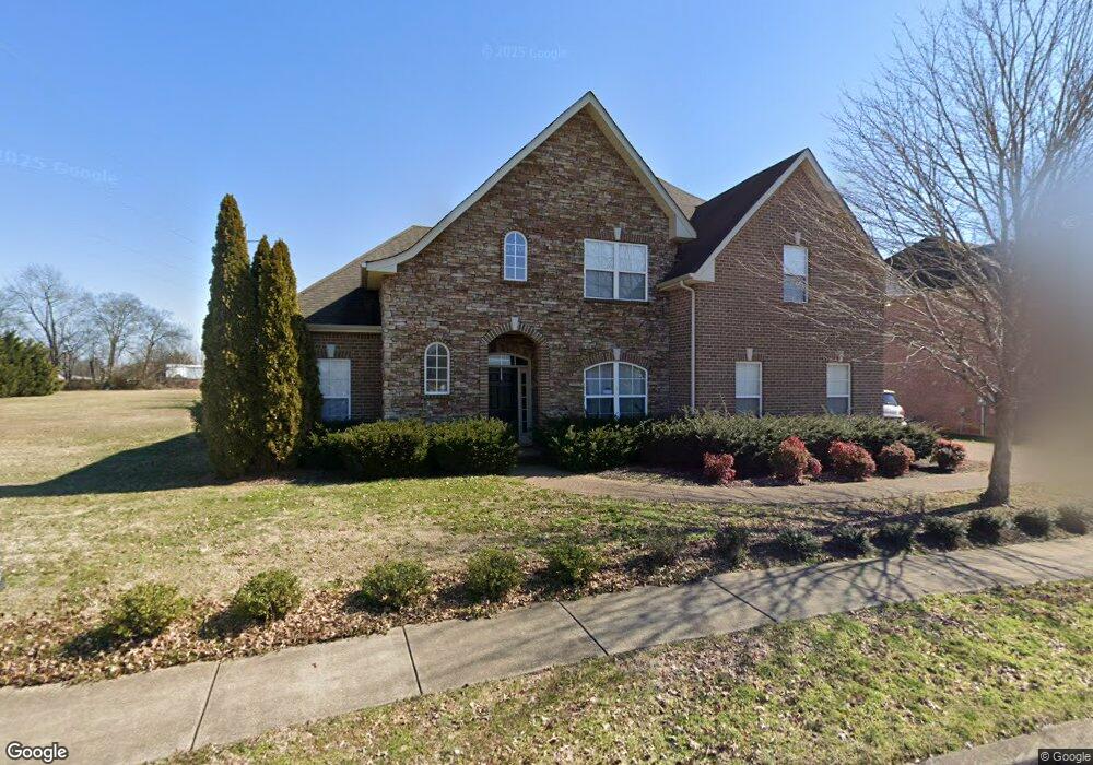
2905 Weston Blvd Murfreesboro, TN 37128
Estimated Value: $471,000 - $572,000
--
Bed
--
Bath
2,921
Sq Ft
$182/Sq Ft
Est. Value
About This Home
This home is located at 2905 Weston Blvd, Murfreesboro, TN 37128 and is currently estimated at $532,429, approximately $182 per square foot. 2905 Weston Blvd is a home located in Rutherford County with nearby schools including Salem Elementary School, Barfield Elementary School, and Rockvale Middle School.
Ownership History
Date
Name
Owned For
Owner Type
Purchase Details
Closed on
Jun 24, 2011
Sold by
Popovich Stephen F
Bought by
Smith Junko K
Current Estimated Value
Home Financials for this Owner
Home Financials are based on the most recent Mortgage that was taken out on this home.
Original Mortgage
$179,200
Outstanding Balance
$123,479
Interest Rate
4.62%
Mortgage Type
Commercial
Estimated Equity
$408,950
Purchase Details
Closed on
Apr 19, 2007
Sold by
Concord Homes Llc
Bought by
Popovich Stephen F and Popovich Brittany
Home Financials for this Owner
Home Financials are based on the most recent Mortgage that was taken out on this home.
Original Mortgage
$287,200
Interest Rate
6.1%
Create a Home Valuation Report for This Property
The Home Valuation Report is an in-depth analysis detailing your home's value as well as a comparison with similar homes in the area
Home Values in the Area
Average Home Value in this Area
Purchase History
| Date | Buyer | Sale Price | Title Company |
|---|---|---|---|
| Smith Junko K | $224,000 | -- | |
| Popovich Stephen F | $359,000 | -- |
Source: Public Records
Mortgage History
| Date | Status | Borrower | Loan Amount |
|---|---|---|---|
| Open | Smith Junko K | $179,200 | |
| Previous Owner | Popovich Stephen F | $287,200 | |
| Previous Owner | Popovich Stephen F | $71,800 |
Source: Public Records
Tax History Compared to Growth
Tax History
| Year | Tax Paid | Tax Assessment Tax Assessment Total Assessment is a certain percentage of the fair market value that is determined by local assessors to be the total taxable value of land and additions on the property. | Land | Improvement |
|---|---|---|---|---|
| 2025 | $3,270 | $115,625 | $13,750 | $101,875 |
| 2024 | $3,270 | $115,625 | $13,750 | $101,875 |
| 2023 | $2,169 | $115,625 | $13,750 | $101,875 |
| 2022 | $1,869 | $115,625 | $13,750 | $101,875 |
| 2021 | $1,905 | $85,825 | $12,500 | $73,325 |
| 2020 | $1,905 | $85,825 | $12,500 | $73,325 |
| 2019 | $1,905 | $85,825 | $12,500 | $73,325 |
Source: Public Records
Map
Nearby Homes
- 2910 Morning Mist Ct
- 3736 Jerry Anderson Dr
- 2812 Ruland Place
- 3121 Castleton Dr
- 2732 Avington Ct
- 3708 Jerry Anderson Dr
- 3111 Monrovia Dr
- 3002 Stow Crossing
- 3032 Morning Mist Ct
- 3633 Jerry Anderson
- 3640 Shady Forest Dr
- 3625 Shady Forest Dr
- 3633 Capstone Dr
- 3613 Shady Forest Dr
- 3636 Pelham Wood Dr
- 3628 Pelham Wood Dr
- 3605 Shady Forest Dr
- 2819 Silver Springs Ct
- 2818 Silver Springs Ct
- 3426 Littlegate St
- 2909 Weston Blvd
- 2913 Weston Blvd
- 2914 Morning Mist Ct
- 2907 Morning Mist Ct
- 2908 Weston Blvd
- 3104 Teaside Ln
- 2822 Avington Ct
- 2918 Morning Mist Ct
- 2912 Weston Blvd
- 2917 Weston Blvd
- 2818 Avington Ct
- 2911 Morning Mist Ct
- 3108 Teaside Ln
- 2909 Haviland Way
- 2922 Morning Mist Ct
- 2915 Morning Mist Ct
- 2913 Haviland Way
- 2916 Weston Blvd
- 2915 Morning Mist Ct
- 2917 Haviland Way