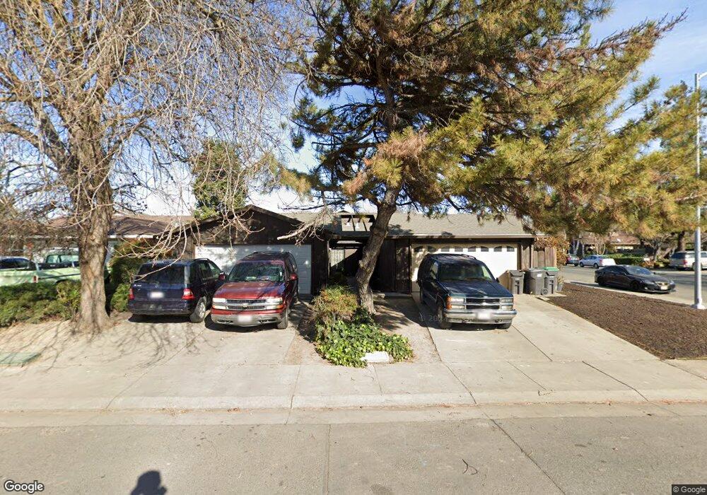
2905 Whittier Ct Unit 24 Stockton, CA 95207
Lincoln Village West NeighborhoodEstimated Value: $467,022 - $526,000
12
Beds
8
Baths
2,204
Sq Ft
$227/Sq Ft
Est. Value
About This Home
This home is located at 2905 Whittier Ct Unit 24, Stockton, CA 95207 and is currently estimated at $500,756, approximately $227 per square foot. 2905 Whittier Ct Unit 24 is a home located in San Joaquin County with nearby schools including Tully C. Knoles School, Sierra Middle School, and Lincoln High School.
Ownership History
Date
Name
Owned For
Owner Type
Purchase Details
Closed on
Jun 21, 2011
Sold by
Chrislock Jerome L and Chrislock Karla K
Bought by
Qin Edward and Gong Diana
Current Estimated Value
Purchase Details
Closed on
Aug 4, 2006
Sold by
Chrislock Jerome L and Chrislock Karla K
Bought by
Chrislock Jerome L and Chrislock Karla K
Home Financials for this Owner
Home Financials are based on the most recent Mortgage that was taken out on this home.
Original Mortgage
$210,500
Interest Rate
6.76%
Mortgage Type
New Conventional
Create a Home Valuation Report for This Property
The Home Valuation Report is an in-depth analysis detailing your home's value as well as a comparison with similar homes in the area
Home Values in the Area
Average Home Value in this Area
Purchase History
| Date | Buyer | Sale Price | Title Company |
|---|---|---|---|
| Qin Edward | $104,000 | None Available | |
| Chrislock Jerome L | -- | North American Title Co |
Source: Public Records
Mortgage History
| Date | Status | Borrower | Loan Amount |
|---|---|---|---|
| Previous Owner | Chrislock Jerome L | $210,500 |
Source: Public Records
Tax History Compared to Growth
Tax History
| Year | Tax Paid | Tax Assessment Tax Assessment Total Assessment is a certain percentage of the fair market value that is determined by local assessors to be the total taxable value of land and additions on the property. | Land | Improvement |
|---|---|---|---|---|
| 2025 | $2,597 | $166,543 | $51,242 | $115,301 |
| 2024 | $2,520 | $163,279 | $50,238 | $113,041 |
| 2023 | $2,524 | $160,078 | $49,253 | $110,825 |
| 2022 | $2,324 | $156,940 | $48,288 | $108,652 |
| 2021 | $2,299 | $153,864 | $47,342 | $106,522 |
| 2020 | $2,299 | $152,287 | $46,857 | $105,430 |
| 2019 | $2,271 | $149,302 | $45,939 | $103,363 |
| 2018 | $2,225 | $146,376 | $45,039 | $101,337 |
| 2017 | $2,189 | $143,506 | $44,156 | $99,350 |
| 2016 | $2,172 | $140,693 | $43,290 | $97,403 |
| 2014 | $2,129 | $135,866 | $41,805 | $94,061 |
Source: Public Records
Map
Nearby Homes
- 7011 Shoreham Place
- 6724 Plymouth Rd Unit 90
- 6724 Plymouth Rd Unit 54
- 2737 Birch Ave
- 7303 Southfield Way
- 7223 Westland Dr
- 2513 Hazelwood Ave
- 3265 Shoreline Ct
- 2618 Buttonwillow Ave
- 6845 Shiloh Ct
- 6827 Shiloh Ct
- 2653 Jasmine Ave
- 7513 Richland Way
- 7626 Richland Way
- 2708 Madrone Ave
- 2921 Rutledge Ct
- 6406 Grigsby Place
- 7348 Lighthouse Dr
- 3533 Harpers Ferry Dr
- 2140 Pennington Ct
- 2903 Whittier Ct
- 2915 Whittier Ct
- 2918 Malvern Ct
- 2906 Malvern Ct
- 6948 Plymouth Rd
- 6960 Plymouth Rd
- 2927 Whittier Ct
- 2930 Malvern Ct
- 2904 Whittier Ct
- 6938 Plymouth Rd
- 6972 Bridgeport Cir
- 2916 Whittier Ct
- 2942 Malvern Ct
- 6926 Plymouth Rd
- 2941 Whittier Ct
- 2940 Whittier Ct
- 2928 Whittier Ct
- 7006 Bridgeport Cir
- 7004 Bridgeport Cir