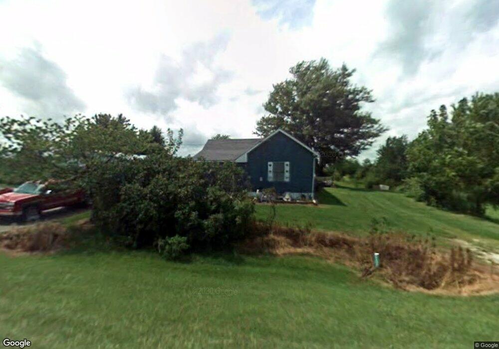
29055 Highway T20 Cincinnati, IA 52549
Estimated Value: $64,000 - $145,379
4
Beds
1
Bath
1,232
Sq Ft
$89/Sq Ft
Est. Value
About This Home
This home is located at 29055 Highway T20, Cincinnati, IA 52549 and is currently estimated at $109,095, approximately $88 per square foot. 29055 Highway T20 is a home located in Appanoose County with nearby schools including Centerville High School.
Ownership History
Date
Name
Owned For
Owner Type
Purchase Details
Closed on
Mar 16, 2020
Sold by
Moorman Michael L and Moorman Noritta
Bought by
Vanblaricom Constance
Current Estimated Value
Purchase Details
Closed on
May 20, 2009
Sold by
Vanblaricom Leslie L and Vanblaricom Constance A
Bought by
Vanblaricom Leslie L and Vanblaricom Constance A
Purchase Details
Closed on
Apr 13, 2009
Sold by
Vanblaricom Leslie L and Vanblaricom Constance A
Bought by
Vanblaricom Leslie L and Vanblaricom Constance A
Create a Home Valuation Report for This Property
The Home Valuation Report is an in-depth analysis detailing your home's value as well as a comparison with similar homes in the area
Home Values in the Area
Average Home Value in this Area
Purchase History
| Date | Buyer | Sale Price | Title Company |
|---|---|---|---|
| Vanblaricom Constance | -- | None Available | |
| Vanblaricom Leslie L | -- | None Available | |
| Vanblaricom Leslie L | -- | None Available |
Source: Public Records
Tax History Compared to Growth
Tax History
| Year | Tax Paid | Tax Assessment Tax Assessment Total Assessment is a certain percentage of the fair market value that is determined by local assessors to be the total taxable value of land and additions on the property. | Land | Improvement |
|---|---|---|---|---|
| 2025 | $1,194 | $102,670 | $35,920 | $66,750 |
| 2024 | $1,194 | $81,230 | $30,800 | $50,430 |
| 2023 | $1,188 | $81,230 | $30,800 | $50,430 |
| 2022 | $1,076 | $68,910 | $25,400 | $43,510 |
| 2021 | $1,076 | $66,500 | $25,400 | $41,100 |
| 2020 | $802 | $53,630 | $20,400 | $33,230 |
| 2019 | $822 | $50,830 | $0 | $0 |
| 2018 | $798 | $50,830 | $0 | $0 |
| 2017 | $60,000 | $39,760 | $0 | $0 |
| 2016 | $596 | $42,190 | $0 | $0 |
| 2015 | $596 | $42,090 | $0 | $0 |
| 2014 | $616 | $42,090 | $0 | $0 |
Source: Public Records
Map
Nearby Homes
- 204 Vine
- 102 Race St
- 108 Race St
- 202 E Pleasant St
- 208 W Pleasant
- 403 W Pleasant
- 0 183rd Ave
- 0 183rd Ave Unit NOC6327433
- 183rd Avenue
- 600th Street
- 20001 605th St
- 000 584th St
- 0 600th St Unit NOC6331218
- 0 600th St Unit NOC6327488
- 210th Avenue
- 0 210th Ave Unit 6322359
- 10337 State Highway 129
- 26741 Highway 5
- 0 230th Ave
- 0 160th Ave Unit 202506078